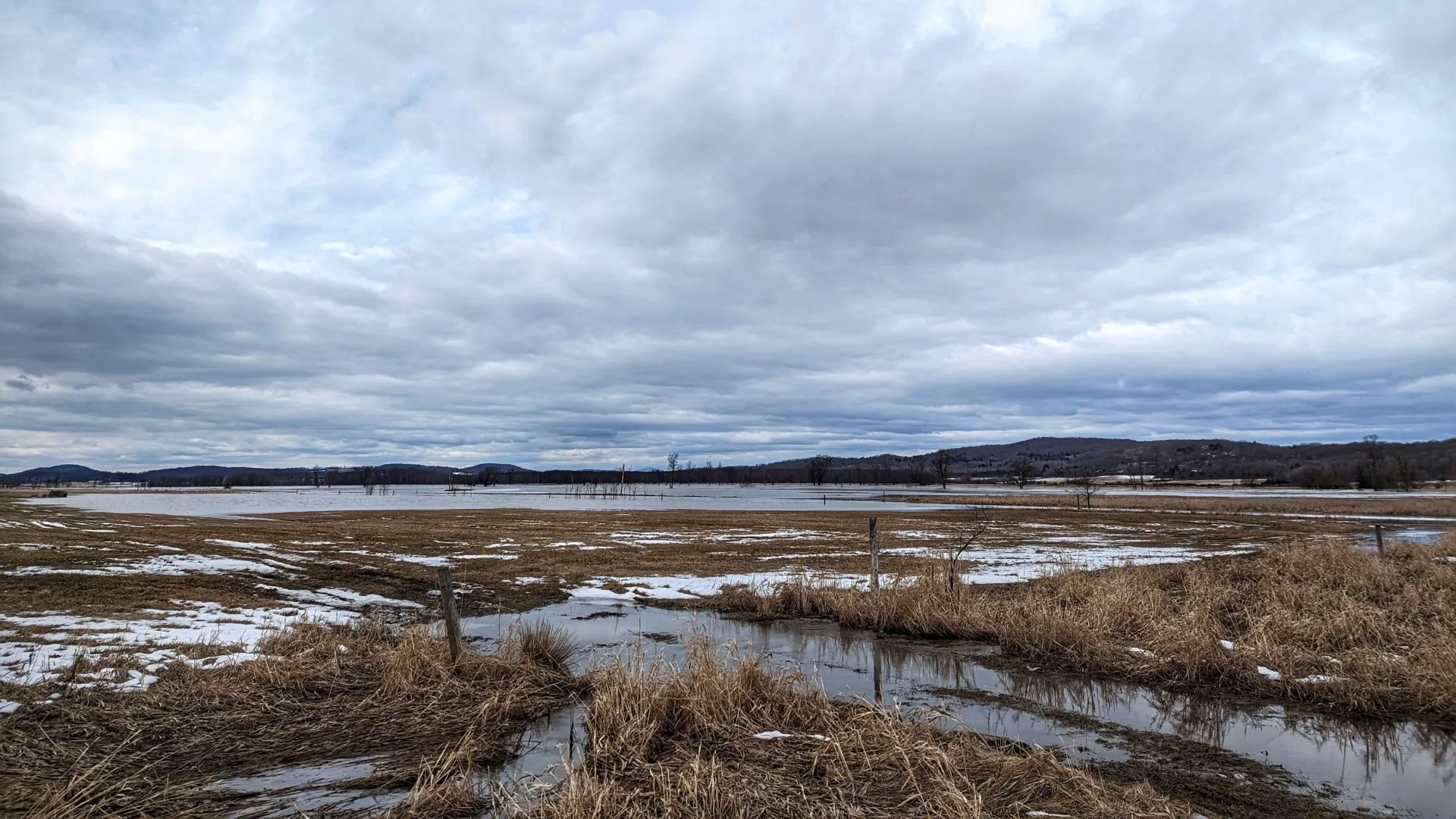
The flood of 1927. Tropical Storm Irene in 2011. Historic flooding in 2023 and 2024. Vermonters are no strangers to extreme weather and the ways climate change exacerbates the impacts of natural disasters. But when the worst happens, Vermonters don’t see strangers—only neighbors who need help.
As Vermont’s land-grant university, the University of Vermont, too, aims to serve the people of the Green Mountain State. From agriculture to zoology, the research that happens here helps keep Vermont’s woods and waters clean, Vermont farms productive, and communities safer and healthier.
This summer, we’re sharing research from UVM’s Gund Institute for Environment and Water Resources Institute that improves lives and livelihoods in Vermont every day. Today, we’re highlighting three projects that contribute to water quality by measuring wetlands’ ability to retain excessive nutrients, and by using microbes to clean up groundwater pollutants.
How much phosphorus can one wetland capture?
“We have two major environmental problems in Vermont right now,” says Gund Fellow Eric Roy. “One is flooding due to increased incidence of heavy rain events, and the other is water quality in Lake Champlain. Restoring wetlands is a potential solution to both of those challenges.”
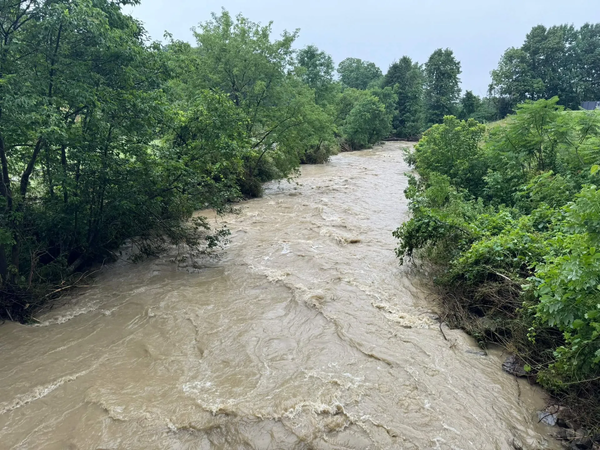
Scientists have long known that, in addition to slowing down and retaining rushing floodwaters, wetlands play an outsize role in improving water quality. For example, wetlands capture phosphorus and other nutrients that run off agricultural fields, preventing them from accumulating in larger bodies of water like ponds and lakes, where they can contribute to toxic algal blooms and other water quality problems.
“Wetlands are filters on the landscape—I’ve heard them referred to as the kidneys of the landscape,” says Roy, who is a professor in the Rubenstein School of Environment and Natural Resources (RSENR).
But when the state of Vermont sought to restore wetlands to improve water quality in Lake Champlain, they were faced with a fundamental question: For every acre of wetland we restore, how much phosphorus will that keep from reaching the lake?
Roy and his colleagues are working to answer this question, funded by the U.S. Department of Agriculture’s Natural Resources Conservation Service and the Lake Champlain Basin Program. For the last six years, they’ve been collecting water and soil samples from wetlands across the Lake Champlain Basin while also using sensors to document water levels over time. They then use a combination of laboratory measurements, field data, and computer modeling to determine how much of the phosphorus load these wetlands hold onto, keeping phosphorus out of Lake Champlain. The team is out in all seasons, traversing Vermont’s floodplain wetlands on the buggiest summer afternoons and the iciest winter mornings.
“These can be difficult environments to be in, but in Vermont, there are usually mountains on the horizon, and it’s very beautiful,” says Roy, who credits a childhood spent in the wetlands of Virginia’s Chesapeake Bay region for his current research focus.
Roy and his colleagues at UVM, including Kristen Underwood of the College of Engineering and Mathematical Sciences; Rebecca Diehl of the College of Arts and Sciences; and Tiffany Chin and doctoral alumnus Adrian Wiegman of RSENR, are now able to estimate how effective a given restored wetland will be in improving water quality downstream. The results indicate that restored floodplain wetlands are working well for phosphorus capture. State officials will be using these results to inform estimates of the benefits provided by wetland restoration projects in the future.
Calculating the benefits of restoring wetlands
Roy, who’s also the Director of the Casella Center for Circular Economy and Sustainability, is now working to use his research to guide wetland restoration across the state—this time also looking at wetlands outside of floodplains.
His team is creating a user-friendly calculator tool that will be accessible to state officials and others engaged in various wetland restoration projects. This research is sponsored by the Lake Champlain Basin Program, which receives funding from the U.S. Environmental Protection Agency, the Great Lakes Fishery Commission, and the National Park Service.
“This is a tool where the user will be able to look at a potential site and estimate the water quality benefit of restoring a wetland at that location,” Roy says.
Roy and his colleagues will be designing and refining the tool based on field monitoring at sites throughout the Lake Champlain Basin and stakeholder input in the next couple of years. The calculator, designed to be easy to use, will be ready for general use within two and half years, Roy says.
“These projects provide a great opportunity to build the bridge between science and practice, and I really like work like that,” Roy says. “This work grew out of a need. We did the research because we knew that decision-makers and other stakeholders did not have a robust yet accessible way to estimate these benefits.”