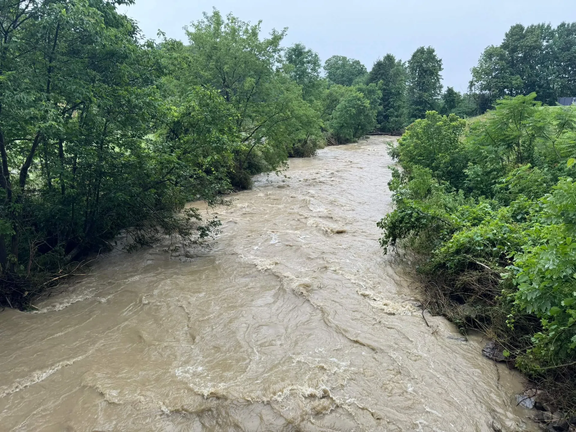
These findings underscore the urgent need for improved risk communication and education around flood mapping data as climate change intensifies flooding threats.
The research, published under the title “What Shapes Flood Risk Perceptions? Comparing Public Perceptions with FEMA Flood Hazard Maps in the U.S.,” in the International Journal of Disaster Risk Reduction, surveyed 953 U.S. residents and compared their self-reported flood risk perceptions with FEMA’s flood zone classifications. The study introduces the concept of a “risk perception gap,” which is the difference between perceived flood risk and FEMA’s designations. The researchers utilized a Protection Motivation Theory (PMT) model. PMT provides a psychological framework for understanding how individuals assess threats and decide on protective actions. This involves two primary cognitive processes: threat appraisal and coping appraisal.
Key Findings:
- Nearly 50% of respondents aligned with FEMA maps, but over 27% were uncertain about their flood risk.
- Among residents in FEMA-designated floodplains, 57% perceived a lower risk than FEMA estimates, and 29% expressed uncertainty.
- Psychological factors, such as perceived self-efficacy and susceptibility, and spatial characteristics, such as proximity to water bodies, strongly influenced risk perceptions.
- People living near water exhibited polarized perceptions, with some overestimating and others underestimating their risk.
- Older individuals were less likely to express uncertainty, whereas higher self-efficacy was associated with both elevated perceived risk and uncertainty.
“These gaps matter because they shape preparedness decisions,” said Masood Ali Khan, corresponding author and graduate researcher in the Department of Community Development and Applied Economics at UVM. “When people underestimate their flood risks -- or simply don’t know whether or not they are at risk -- they’re less likely to take protective actions, leaving those individuals and their entire communities more vulnerable.”

The study calls for localized, targeted communication strategies that address socio-cognitive and geographic factors, as well as improvements to FEMA maps, which often underestimate risk due to outdated data and a lack of climate change considerations. Interactive mapping tools and community-based education are recommended to bridge the gap between expert assessments and public perceptions.
Why This Research Matters:
Flooding is among the most damaging natural hazards in the U.S., causing an average of $3.4 billion in annual losses and 162 fatalities. The Vermont floods of 2023 and 2024 caused an estimated 1.6 billion in local losses. As climate change and urban expansion increase flood frequency and severity, understanding and addressing perception gaps is vital to building resilient communities.
Funding & Collaboration:
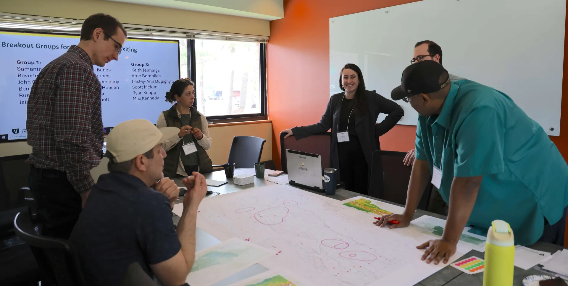
This research was supported by the National Oceanic and Atmospheric Administration (NOAA) through the Cooperative Institute for Research to Operations in Hydrology (CIROH). UVM researchers include: Masood Ali Khan, Asim Zia, Scott Merrill, Jessica Balerna, Ruth Quainoo, Rodrigo Soares, and Trisha Shrum. An additional collaborator was Christopher Koliba at the University of Kansas.
Access the Full Study:
Link to publication