South Burlington
Surficial Geology
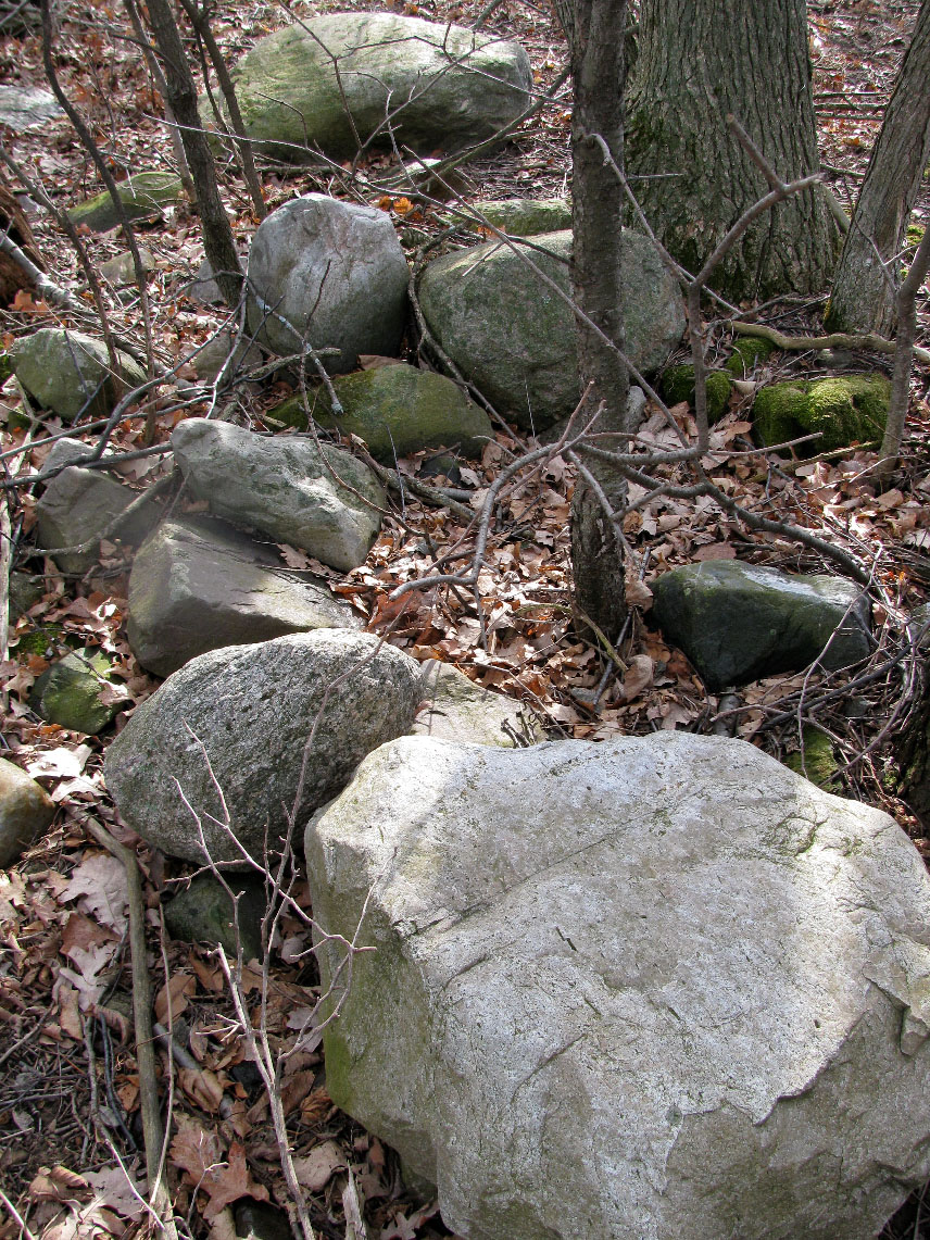 Scattered rocks like these are evidence of Vermont's recent glacial history. Click to view a larger image.
Till represents a great hazard to plows and so most farm fields were cleared of rocks before plowing. In old fields using for grazing during the sheep era in Vermont, till was collected from field and stacked as rock walls to keep livestock in. In fields were tilling would have taken place,
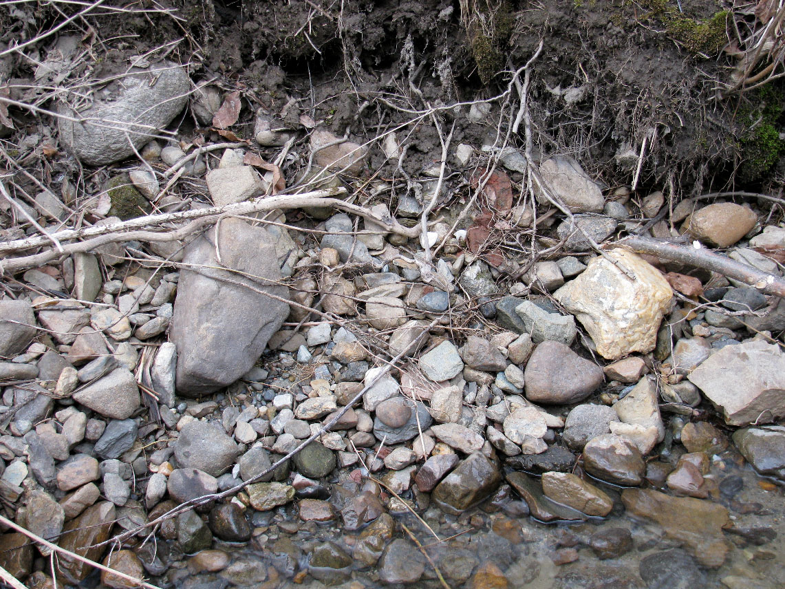
Till can also be easily observed along stream banks where water has cut into the soil or where fallen trees have uprooted a large chunk of the soil.