Analyze Your Town
Though landscapes can be analyzed at a range of scales, the PLACE Program emphasizes town landscapes for a number of reasons. Towns are generally large enough to contain a diversity of natural and cultural features, but small enough to embody a sense of place.
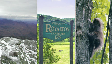
People in Vermont identify closely with their towns, and many community functions, such as education and government, are organized and administered within town boundaries. Human history on the land is most often recorded and interpreted at the town level, and it is in town plans that visions for the future of the Vermont landscape are most clearly articulated.
Yet as we celebrate town identity, we simultaneously seek to develop a greater awareness of the biophysical setting of each town. Though political boundaries are ingrained in our human perception of the landscape, they matter little to the wanderings of wide ranging mammals or the flow of melt water across the land. Our goal is for one’s watershed address to become as familiar as one’s zip code, and eco-regional identity as intrinsic as county of residence.
So how do you actually go about the process of analyzing your town landscape? Since landscapes are such inherently complex systems, we recommend you begin your journey by dividing your analysis into three main focal areas: the physical landscape, the cultural landscape, and the ecological landscape.
Landscape Analysis Focal Areas: Physical, Cultural and Ecological
Physical — Cultural — Ecological
This website will not teach you all that you need to know about geography, history, geology, or ecology, but it will help you learn to decipher the stories behind the patterns on your own landscape. It will also help you find key materials for landscape interpretation that are useful for any chosen site in Vermont. The key to a successful landscape analysis is in finding the relevant details within the larger story. Your local historian or town elders might be able to spin you a yarn long enough to fill several novels, but it will be your job to pick out and pursue the most important threads of each story. So as you explore this website and your own local resources, keep asking yourself how the information explains what you are seeing in your own landscape. To further help you with this process we’ve linked each feature to a specific interpretive example.
Even once you have all the resources gathered, putting the whole picture together can be a daunting task for the most seasoned landscape analyst. So as you find yourself wondering where to go with your newfound interest, you will be happy to know that we are in the process of forming the PLACE Institute to help guide you through the process. The Institute will be hosted collaboratively at UVM and Shelburne Farms and will feature workshops, field trips, and presentations throughout the year. It will bring together naturalists, historians, scientists, technology specialists and educators, and is designed to help you build a masterful program about your own town landscape’s cultural and natural history.
Resources
- What is GIS?
- Much of Vermont's public GIS information is available at the Vermont Center for Geographic Information