Google Earth maps of South Burlington
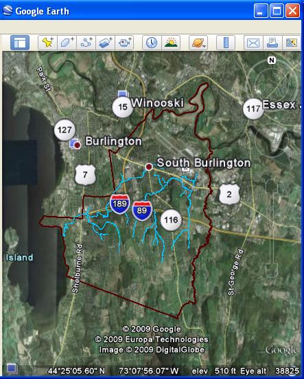
The following series of maps are available for use by the public. They are not official maps and should be cross listed with other maps for accuracy.
Download Google Earth here: http://earth.google.com/
City Limits - a map of the city's borders.
Parks - Pinpoints of the city's parks.
Watersheds - The subwatersheds (e.g. Centennial Brook, Potash Brook, etc.) of South Burlington
Surficial geology
Open Space - Includes golf courses and non-commercial/residential sites.
Recreational Paths - map of the foot and bike paths in the city
Potash Brook - map of the brook's water course
Land Use - Land Cover
Chittenden County Bedrock - Bedrock map for county