South Burlington
Hydrology
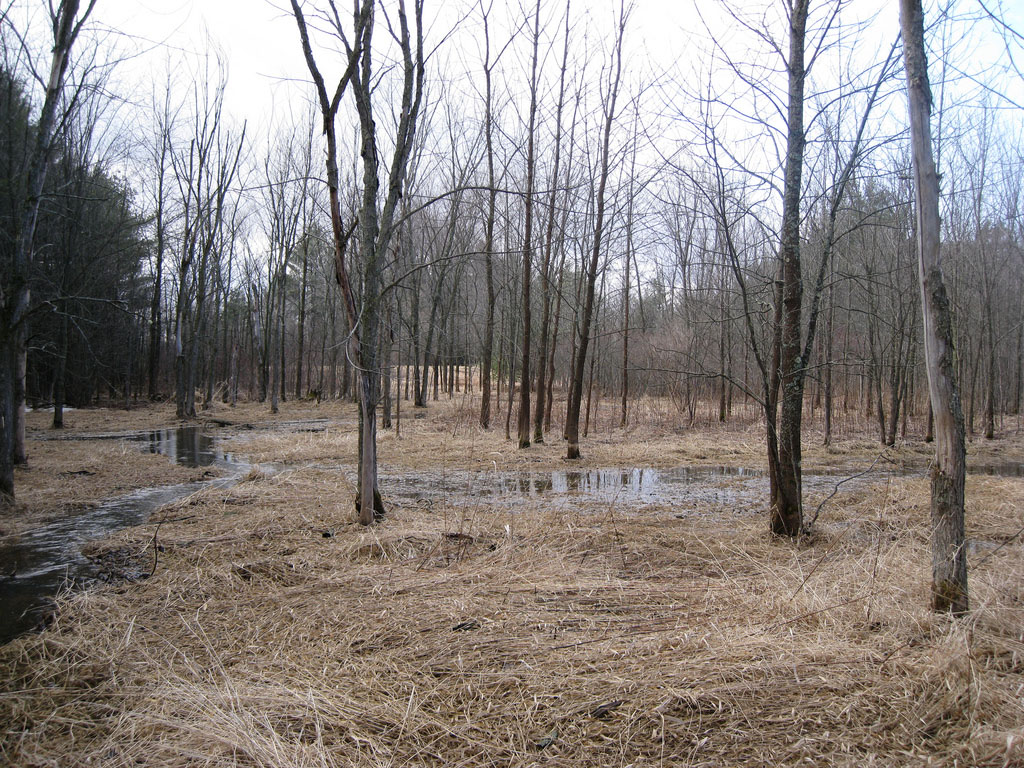 Several Black Ash swamps exist as wetlands in South Burlington. Click to see larger image.
 “Broadly defined, a wetland is a transitional zone between dry land and water” (Braddock 2007). There are many definitions of a wetland — each depending on natural characteristics, such as location, hydrology and substrate. Wetlands within and beyond the political boundaries of South Burlington, Vermont are subject to these same definitions.  Muddy Brook flows along the eastern boundary of South Burlington with several wetland complexes. Click to see larger image. The story of wetlands in this landscape is shaped by massive geologic and hydrological processes, which determined where the wetlands formed on the land. In recent history (the last 10,000 years), human influence on the landscape has altered the types and distribution of wetlands in South Burlington.
The historical mosaic of wetlands in South Burlington included palustrine, riverine and lacustrine types. Palustrine wetlands are inland wetlands that lack flowing water, such as marshes and swamps as well as bogs and fens. Riverine and lacustrine wetlands are wetlands associated with rivers and lakes, respectively. It is likely that the historical distribution of wetlands in South Burlington was dominated by palustrine wetlands, specifically the clay plain forest wetlands that once filled this area. Much of the area was forested wetlands, but shrub-scrub or shallow emergent wetlands were also quite common (Braddock 2007).
Nested within these wetlands were also riverine wetlands, which occurred along streams such as Potash Brook and Muddy Brook. Historically, there were probably lacustrine wetlands due to beaver activity — there is still a large beaver pond along Muddy Brook today. There also may be more lacustrine wetlands today than there once were due to human land use changes.
Many streams have been straightened or channeled for stormwater infrastructure, which has also changed the mosaic of riverine wetlands in South Burlington, especially along Potash Brook (Bowden 2008). Along with these developments have come man-made wetlands built to handle stormwater run-off. Wetlands of this type are either fabricated lacustrine or palustrine wetlands. Lacustrine types would have water held in a retention basin surrounded by reedy plants, while palustrine types might be built to slow stormwater run off and would contain trees, shrubs or other emergent wetland plants.
The future wetland mosaic in South Burlington will likely include more man-made wetlands. The natural wetlands still present in South Burlington may also be changing due to the increased water flow from urban development. These naturally occurring wetlands will require protection at many levels in order to maintain their quality and function, which are important not only to South Burlington, but also to surrounding communities. References
Braddock, Theda. (2007). Wetlands: An Introduction to Ecology, the Law, and Permitting. Lanham, Maryland: The Scarecrow Press, Inc.