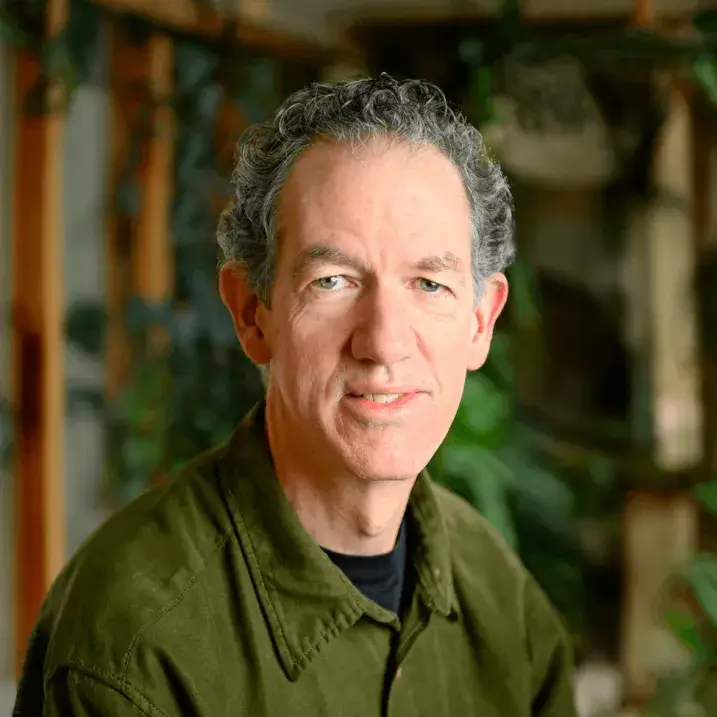
Ernest "Ernie" Buford
Geospatial Systems Lead, Spatial Analysis Laboratory
81 Carrigan Dr
205E Aiken Center
Burlington, VT 05401
United States
- M.S. Wildlife and Fisheries Biology, University of Vermont, 1996
Areas of expertise
Geospatial analysis, conservation planning, wildlife habitat modeling, biodiversity assessment, land cover mapping, geoprocessing automation, dynamic database-driven website development
BIO
Ernie manages computer systems in the Spatial Analysis Lab (SAL) and provides expertise, leadership, and training in the application of software to manage and process geospatial data on desktop and cloud computing platforms, and in the preparation of analytical summaries and geospatial data products for a wide variety of projects. A mainstay in the SAL since the early 90s, Ernie has worked on the development of tools and databases for conservation planning, wildlife habitat modeling, biodiversity assessment, land cover mapping, geoprocessing automation, web application development, wetland inventory, and avian field research.
Ernie was a technical leader on the Vermont Biodiversity Project and Gap Analysis for Vermont and New Hampshire. He has also developed data, models and analytical techniques for projects investigating a variety of topics ranging from bobcat movement and habitat use to public health effects of transportation networks.
Bio
Ernie manages computer systems in the Spatial Analysis Lab (SAL) and provides expertise, leadership, and training in the application of software to manage and process geospatial data on desktop and cloud computing platforms, and in the preparation of analytical summaries and geospatial data products for a wide variety of projects. A mainstay in the SAL since the early 90s, Ernie has worked on the development of tools and databases for conservation planning, wildlife habitat modeling, biodiversity assessment, land cover mapping, geoprocessing automation, web application development, wetland inventory, and avian field research.
Ernie was a technical leader on the Vermont Biodiversity Project and Gap Analysis for Vermont and New Hampshire. He has also developed data, models and analytical techniques for projects investigating a variety of topics ranging from bobcat movement and habitat use to public health effects of transportation networks.