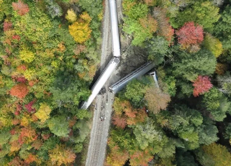
When an emergency like a car accident or a natural disaster happens there are a lot of questions that need to get answered as quickly as possible. First Responders arrive on the scene and assess rapidly before taking action, but when the situation is in a hard-to-reach location, or an unprecedented disaster has occurred, it can be difficult to act fast. UVM is helping to enhance the way first responders and emergency personnel assess and react to accidents and extreme weather events with Uncrewed Aircraft Systems (UAS or drones).
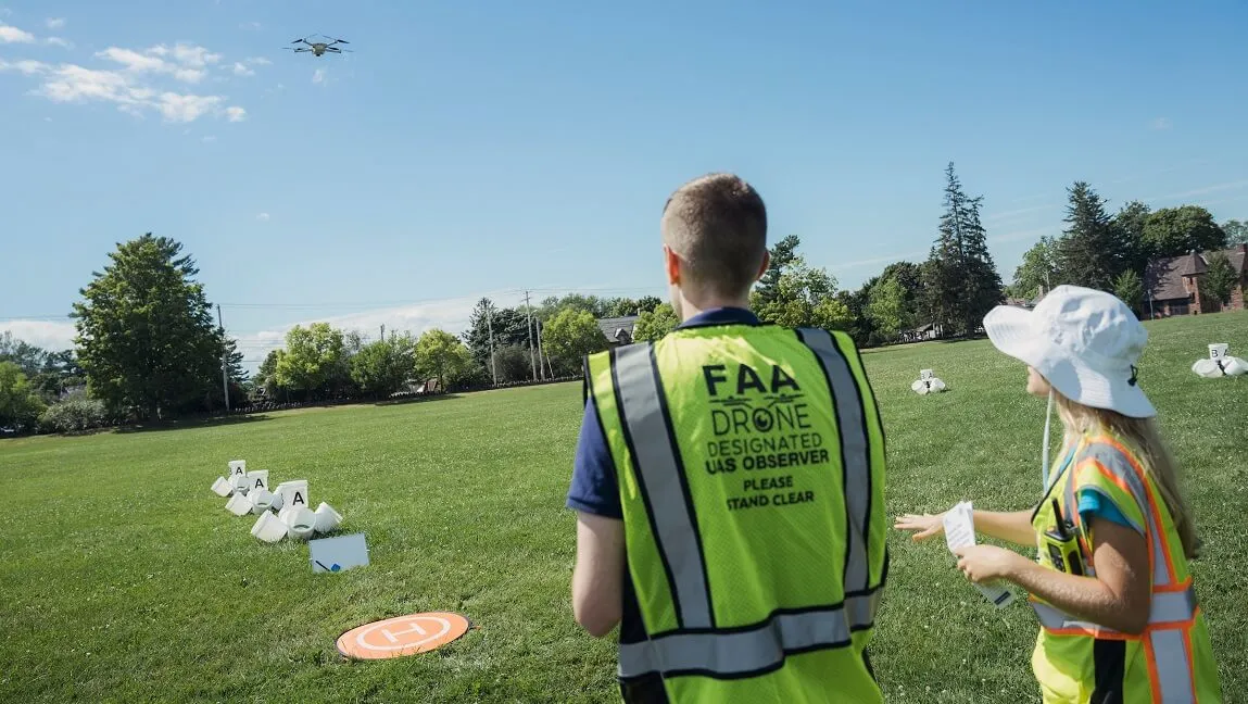
A FEMA-funded program hosted by the UVM Spatial Analysis Lab brought drone training to fifteen emergency-response roles across Vermont in early August 2022. The mix of public safety, firefighting, emergency management, search and rescue, and agriculture and natural resource personnel spent two days learning about UAS technology, flying drones on campus, and assessing drone-gathered data in the lab.
“From responding to structure fires to search and rescue operations, drones provide a means by which to improve response and recovery efforts," said Lee Krohn, volunteer firefighter and Town Manager of Shelburne, Vermont. "I am excited to learn skills that help me, and my fellow first responders reduce risk and be more effective in our jobs. UVM has been a leader in drone technology for the past decade. I am glad to be learning from this experienced team.”
The program received vital support from U.S. Senator Patrick Leahy (D-VT) and was able to take place at UVM because of the institution’s ASSURE Core Member status, achieved in fall 2021. ASSURE is the FAA’s Center of Excellence for UAS Research and is the lead on the FEMA first responder training project. This workshop will serve as a model for similar FEMA-funded trainings that will be implemented across the country.
“Technology is playing an increasingly important role in disaster response and recovery. I was pleased to support funding that will bolster the work of the University of Vermont, which is leading the way in the Northeast, in partnership with Vermont Technical College, to support the FAA and ASSURE. This is critical research and development that will help Vermont’s first responders to save lives and give Vermont businesses access to cutting edge drone technology,” said Senator Patrick Leahy.
To celebrate the collaborative effort, UVM hosted a luncheon on August 11, 2022, for the trainees, staff and partners that made it all possible.
Stephen “Lux” Luxion, Executive Director of ASSURE expressed gratitude for years of partnership in the Green Mountain State at the event. “The expertise demonstrated by UVM over the past few years along with the strong Congressional support from Senator Leahy and his staff have greatly benefited ASSURE, the FAA, FEMA, and other agencies at the Federal, State, and local levels. Vermont efforts will ensure more coordinated and efficient approaches to the integration of uncrewed aircraft in emergencies.”
The Spatial Analysis Lab combines Experiential Learning with Research Excellence
The luncheon also served as an opportunity to share the many accomplishments and scope of programs happening at UVM relating to drone technology. The Spatial Analysis Lab, housed in the Rubenstein School of Environment and Natural Resources, has grown substantially in recent years—instructing and employing nearly 40 students and staff.
In addition to supporting disaster response and assessment efforts, the Spatial Analysis Lab is home to innovative geospatial research conducted by UVM faculty, postdocs, and students. From assessing urban tree canopy distribution and creating regional heat maps to capturing aerial footage of harmful algal blooms on Lake Champlain to gauging the severity of defoliation by Spongy Moth Caterpillars, the lab is conducting important ecological and environmental justice research.
One example of this research was recently published in the Journal of Landscape and Urban Planning authored by Rubenstein School researcher and Gund Postdoctoral Fellow Mayra Rodríguez González. It digs into the role of conserved and managed land in ecosystem service inequity and combines spatial assessment data with important considerations about relationship and social system dynamics.
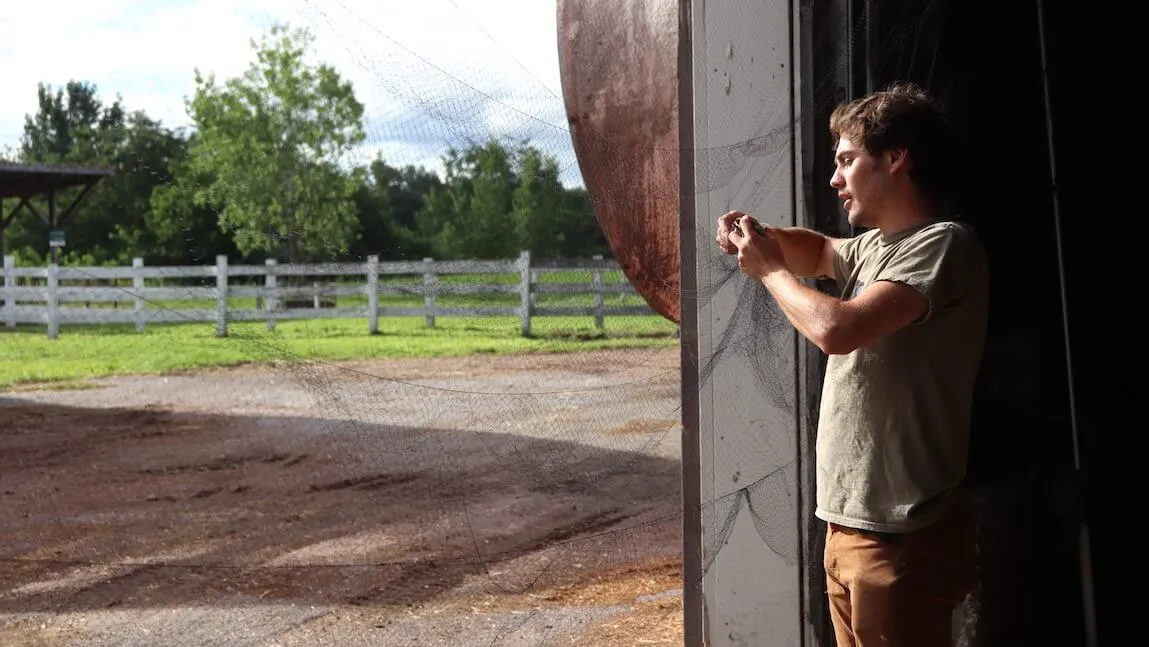
Two Rubenstein School rising seniors majoring in Environmental Sciences and minoring in Geospatial Technologies presented their experiences working in Spatial Analysis Lab at the August 11 event. Lauren Cresanti '23 started working in the lab a little over a year ago as a UAS Team Intern through the Rubenstein School Perennial Summer Internship program, which provides paid internship positions to undergraduate students. Benny Berkenkotter '23 is the lab’s current Perennial Intern and began his work at the start of the summer.
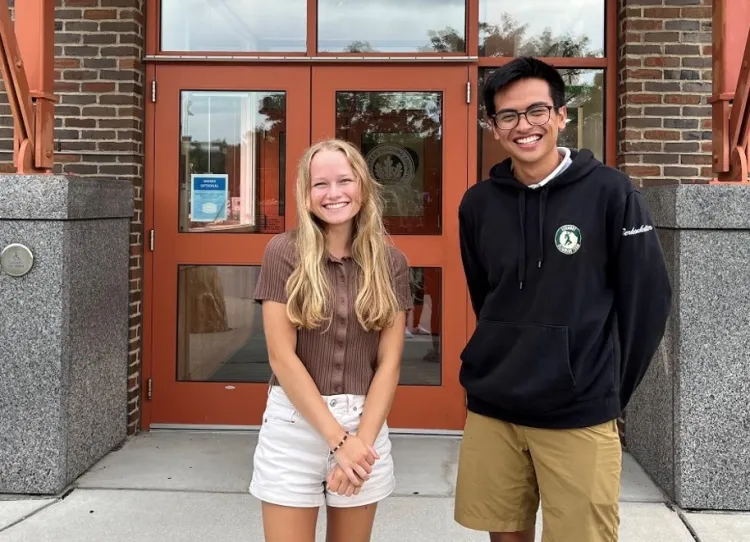
Environmental Sciences and minoring in Geospatial Technologies. (Photo: UVM Spatial Analysis Lab)
Cresanti and Berkenkotter have worked on a wide range of projects over the summer, traveling around Vermont to conduct field work, collect data, and pilot their own mapping missions. They’ve hosted UAS demos with partners across the community, including the Vermont Governor’s Institute, where they were able to meet professionals and students interested in learning more about drones and the STEM field. And they were integral to the professional workshop and first responder training that took place in early August, creating learning modules and conducting proficiency tests with the participants.
“We’ve been able to experience what it is like to be the instructors and teach what we know about the technology to those with varying levels of experience,” said Cresanti. “It has been really exciting to make real world connections to some of the topics we have learned about through our studies at UVM, and then have the chance to talk about this with other peers and coworkers who share the same passions.”
“I am so grateful that I was able to be a part of the Spatial Analysis Lab and the UAS Team where I have been able to dive into this field of drone and geospatial technology,” said Berkenkotter. “This has been my first opportunity working in the environmental field and this has only heightened my interest to combine technology with the environment. I've been able to learn more about the nuances and the overall workflow of this field, which has made me even more excited to delve even deeper.”
Kirk Dombrowski, UVM Vice President for Research, acknowledged these many accomplishments of the Spatial Analysis Lab, sharing that it encompasses all three pillars of UVM’s strategic vision—ensuring student success, investing in our distinctive research strengths, and fulfilling our land grant mission. “Our role as a public institution is to serve as a partner to and resource for the State of Vermont. We are eager to continue leveraging our innovative Spatial Analysis Lab to make state of the art technology accessible to our Vermont partners,” said Dombrowski.
“I am so proud of our team of students and staff that demonstrate daily how geospatial technologies and thoughtful collaboration can make a real difference,” said Jarlath O’Neil-Dunne, Director of the Spatial Analysis Lab. “I believe that we are just scratching the surface of our potential to advance environmental research and serve our communities.”