Viewing a version of dataset "Standardized Regional Aerial Detection Survey Disturbance Spatial Data"
Version name: CombinedRegionalADS_1918_2018
This page provides information about a version of dataset "Standardized Regional Aerial Detection Survey Disturbance Spatial Data" that was created. This version information can be used to accurately cite the dataset at a particular point in time, and to define dynamic subsets of data as they were used in publications or reports.
This approach to creating versions is built upon the Dynamic Data Citation best practices recommendations of the Research Data Alliance
- Purpose
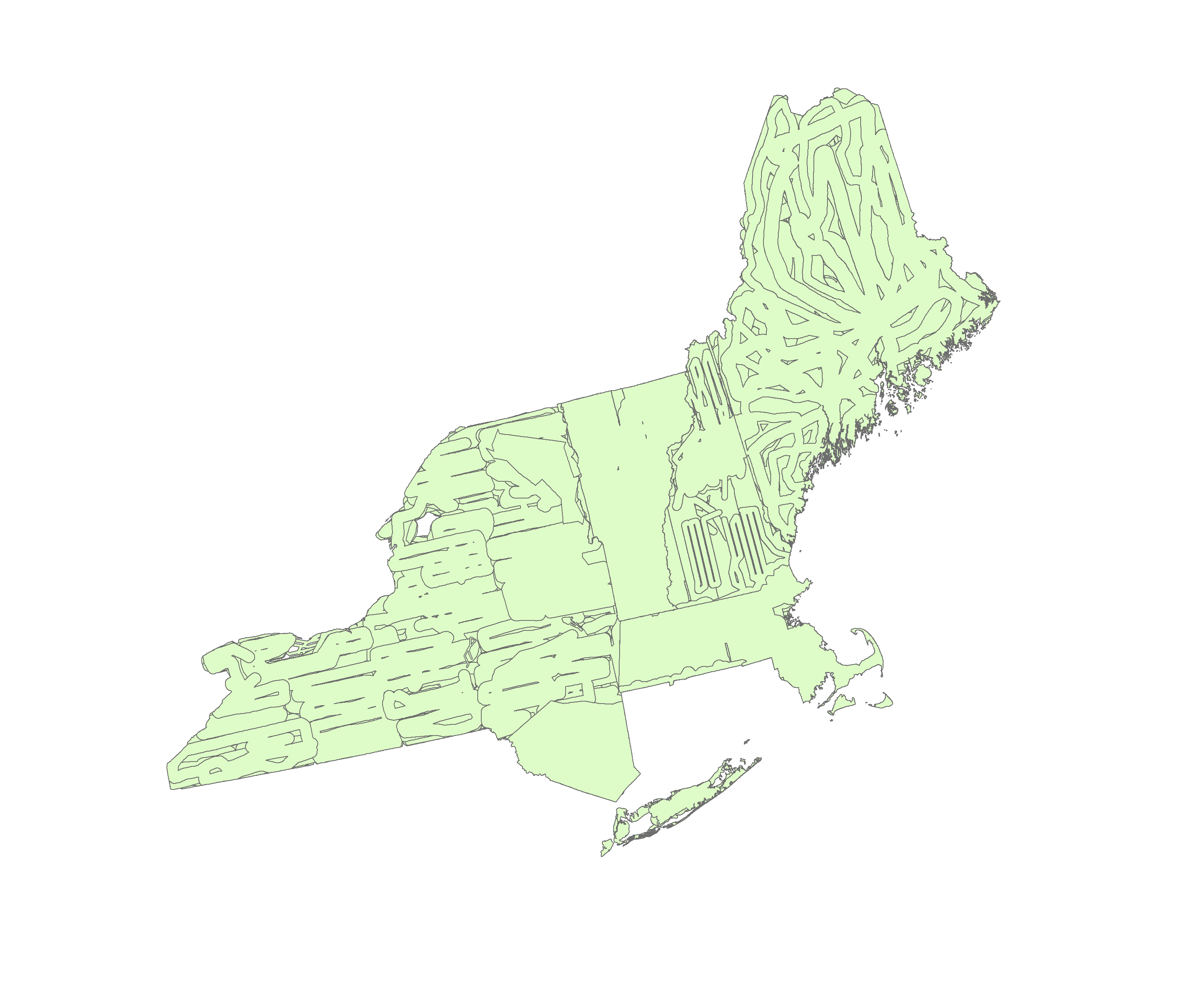
Monitoring forest condition in the states of NY, VT, NH, ME, CT, RI and MA.
- Version Name
- CombinedRegionalADS_1918_2018
- Version Description
- Updated 2017 and 2018 data. Added RI and CT. Fixed no data values
- Version ID
- 3
- Version Type
- Filesystem
- Created Date
- 2019-09-11 15:41:13
- Creator
- Emma Tait
- DOI
- No DOI Assigned
- Download
Available for download
- Data License