Building on top of the FEMC archive, we maintain a number of special collections of datasets and databases that support our partners in academia, state agencies, and federal agencies.
Collections
Catskill Science Collaborative Data Catalog
The Catskill Science Collaborative network has long looked for a place and mechanism to centralize data from a range of monitoring and research programs conducting in the Catksills region of New York. FEMC staff are working with an array of partners to pull together key datasets and make them available through a customized portal for discovery and access.
Environmental Monitoring and Management Alliance Portal
The Environmental Monitoring and Management Alliance (EMMA) is a regional network of land managers and researchers committed to developing standardized methodologies for environmentally relevant research and data collection in the Hudson Valley of New York. Bringing together 10 organizations, they have built up an initial data archive of climate and deer exclosure data, and made it available through the Forest Ecosystem Monitoring Cooperative’s archive. Included are six datasets on deer exclosures, one of which has been in operation since 1992, and eight weather monitoring projects at different sites. Find out more about this great effort and the data they are bringing together.
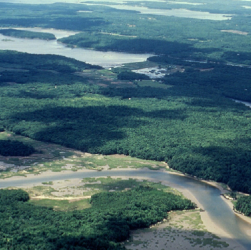
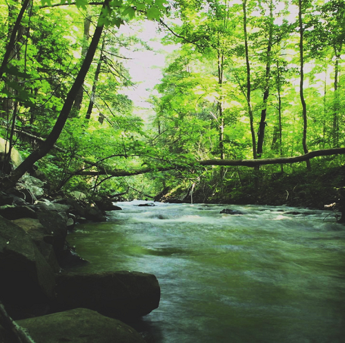
Holt Research Forest
The Holt Research Forest (HRF) is a field station located in southern mid-coastal Maine with a 36-year history of multidisciplinary ecological research. A land base of approximately 125 ha (300 acres) features a red oak-white pine forest ecosystem, an important and relatively understudied forest type in Maine. The vast majority of the property is forested uplands while 20 ha (50 acres) are wetlands of various types, primarily salt marsh. The property is bordered by the Back River, an estuarine tributary of the Kennebec River, on the east. Sewell Pond, the largest pond on Arrowsic Island, forms the western boundary. The northern and southern boundaries of the property are adjacent to largely forested conservation land held by The Nature Conservancy and Maine Department of Inland Fisheries and Wildlife.
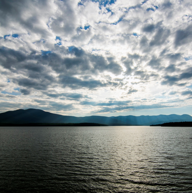
Lake Champlain Sea Grant
Lake Champlain Sea Grant develops and shares science-based knowledge to benefit the environment and economies of the Lake Champlain basin. We support outreach, education, and research for communities and business, state, and local leaders.
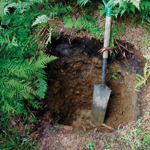
Long-Term Soils Monitoring Database
The Long-Term Soils Monitoring Database started in 2002 with the mission to use soil monitoring as a method of detecting, predicting, and addressing environmental change. The plan is collect a 100 year span of soil data from plots throughout Mount Mansfield and Lye Brook in Vermont. Monitoring occurs on a 5-year cycle.
NSRC Collection
The Northeastern States Research Cooperative (NSRC) is a competitive grant program supporting cross-disciplinary, collaborative research in the Northern Forest—a 30-million-acre working landscape that is home to more than two million residents and stretches from eastern Maine through New Hampshire and Vermont and into northern New York. NSRC addresses the importance of the Northern Forest to society and the need to work collaboratively with the people who live within its boundaries, work with its resources, use its products, visit it, and care about it.
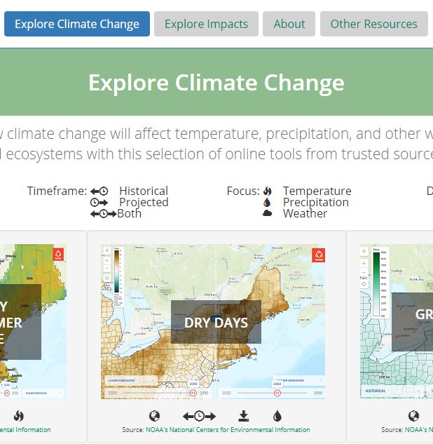
The Climate Connection
As we learn more about climate change and its impacts, a growing wealth of resources are at our fingertips, but finding the right tool for the right question can be a daunting task. The FEMC Climate Connection is an online resource intended for policy makers, researchers, students and natural resource professionals to quickly find the tools needed to explore climate change and how it will impact forests in the Northeast.
The Climate Connection is a point of access for three key resources:
- Tools for exploring how climate change will affect weather, temperature, and precipitation patterns in our region in ecologically meaningful ways.
- Tools for exploring or quantifying the impacts on forest resources that these changes will cause, from driving pest outbreaks to reducing streamflow to changing in the timing of key seasonal events.
- A collection of research on climate change in the Northeast found in the FEMC data archive.
The DendroEcological Network
The study of tree rings (dendrochronology) provides a powerful tool to understand tree growth and the response of trees to a range of environmental influences. Although useful, collecting and analyzing tree rings can be time consuming and involve the use of highly specialized equipment. To increase the ease and cost-effectiveness of using tree ring information, we created the DendroEcological Network (DEN) to provide an online repository for dendroecological and associated forest ecology data and a cyberinfrastructure for the discovery, exploration, and sharing of those data. The DEN portal is publicly available and anyone with access to the internet can use it.
FEMC built the DEN infrastructure and is currently bringing in data from experts around the region to populate this resource. Data can be access at https:www.uvm.edufemcdendro and work is underway on a user-interface for data upload.
The DEN was first launched in October, 2018.
VT Water Center
The mission of the Vermont Water Resources and Lake Studies Center is to fund research on major water resource issues of concern to the state, to disseminate results from that research, and to help educate students about the nature and value of water resources.