Project Overview
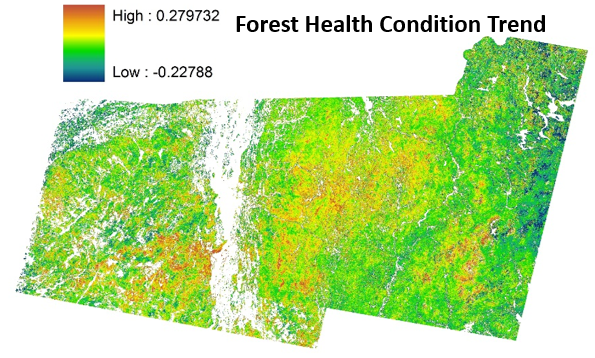
Forest health in the northeast is of increasing concern due to climate change and anthropogenic pressures. In order to monitor canopy condition across the region, this study uses remote sensing images, which can be used to assess the crown condition of forests over long time periods and large areas. A forest health rating based on canopy “greenness”, photosynthetic capacity, canopy density and water content was applied to Landsat TM5 satellite imagery to quantify yearly forest health from 1984 to 2009, as well as changes and trends in health over that time period.
Dataset Availability
Downloadable: 1 dataset
See the full list of available dataTags
Status - Completed
Start date: 2011-01-01
End date: 2012-12-31
Study Area

Loading...