Dataset Overview
Tracking presence-absence of all plant species encountered between each of the 5 sites. A survey of each 50m^2 site was conducted in 2002 to identify all plants to species where possible without recording abundance data. In 2007, using the data collected in 2002, an inventory of plants present across each 50m^2 site was completed in addition to other inventory work. In 2012 the protocol was changed and presence/absence was no longer collected. Instead, the protocol switched to an abundance measure (percent cover) at each of the 10 assigned plots per site for that sampling year.
- Purpose
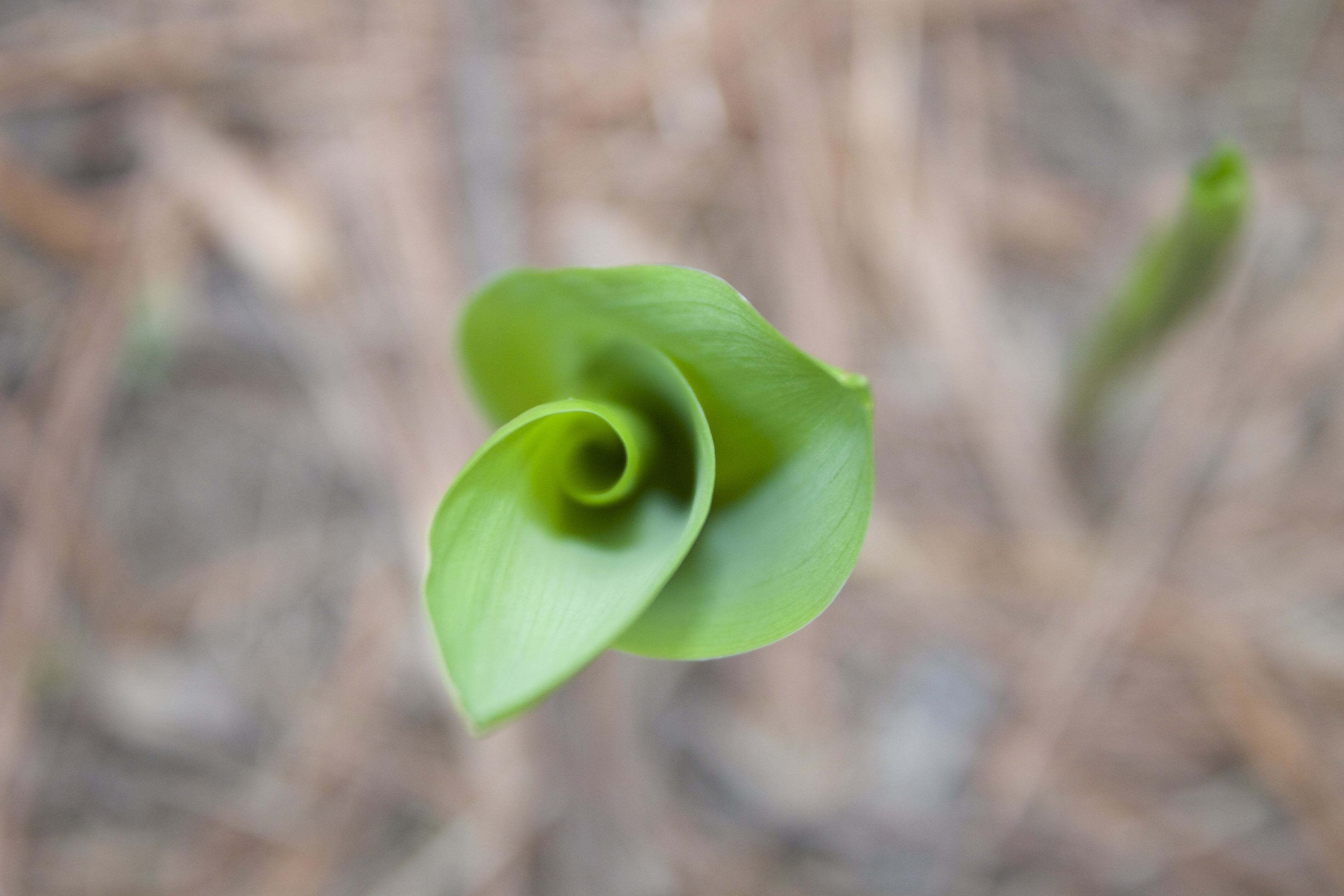
Track presence/absence of vegetative understory within Long-Term Soil Monitoring plot network.
- Data Collection Status
-
Data collection for this dataset is ongoing
- Start date
2002-06-01
- Anticipated end date
2007-06-01
- Contents
650 records with 8 fields
- Data Availability
-
Available for download
- Data License

- Preferred Citation
Natural Resources Conservation Service, Forest Ecosystem Monitoring Cooperative, University of Vermont, USDA Forest Service, Green Mountain National Forest and Northern Research Station, and US Geological Survey (2018) Understory Herbaceous Plant List. FEMC. Available online at: https://www.uvm.edu/femc/data/archive/project/long-term-soil-monitoring/dataset/understory-herbaceous-plant-list
- Update Frequency
As needed
- Maintenance Plan
Sampling began in 2002 and ended in 2007. Protocol changed from absence/presence to abundance cover in 2012.
- Links
-
No links available for this dataset
- Related Datasets
- Determining Dataset Similarity
- Previous Versions
-
- Version 1 - LTSM_UnderstoryPlantList_V1 (created 2018-02-13 by John Truong)