Details and Metadata
Printer-friendly version View XML version Download Ecological Metadata Language file
Methods
The methods followed in the creation of the dataset, including description of field, laboratory and processing steps, and quality control procedures
No methods recorded for this dataset
Dataset Fields
Detailed documentation of the fields comprising the dataset, including the type of measurement, units where applicable, and any controlled vocabularies or code lists present in the data
| Field Name | Caption | Description | Additional Information |
|---|---|---|---|
| enuPurpose | Purpose | Sampling purpose | Nominal |
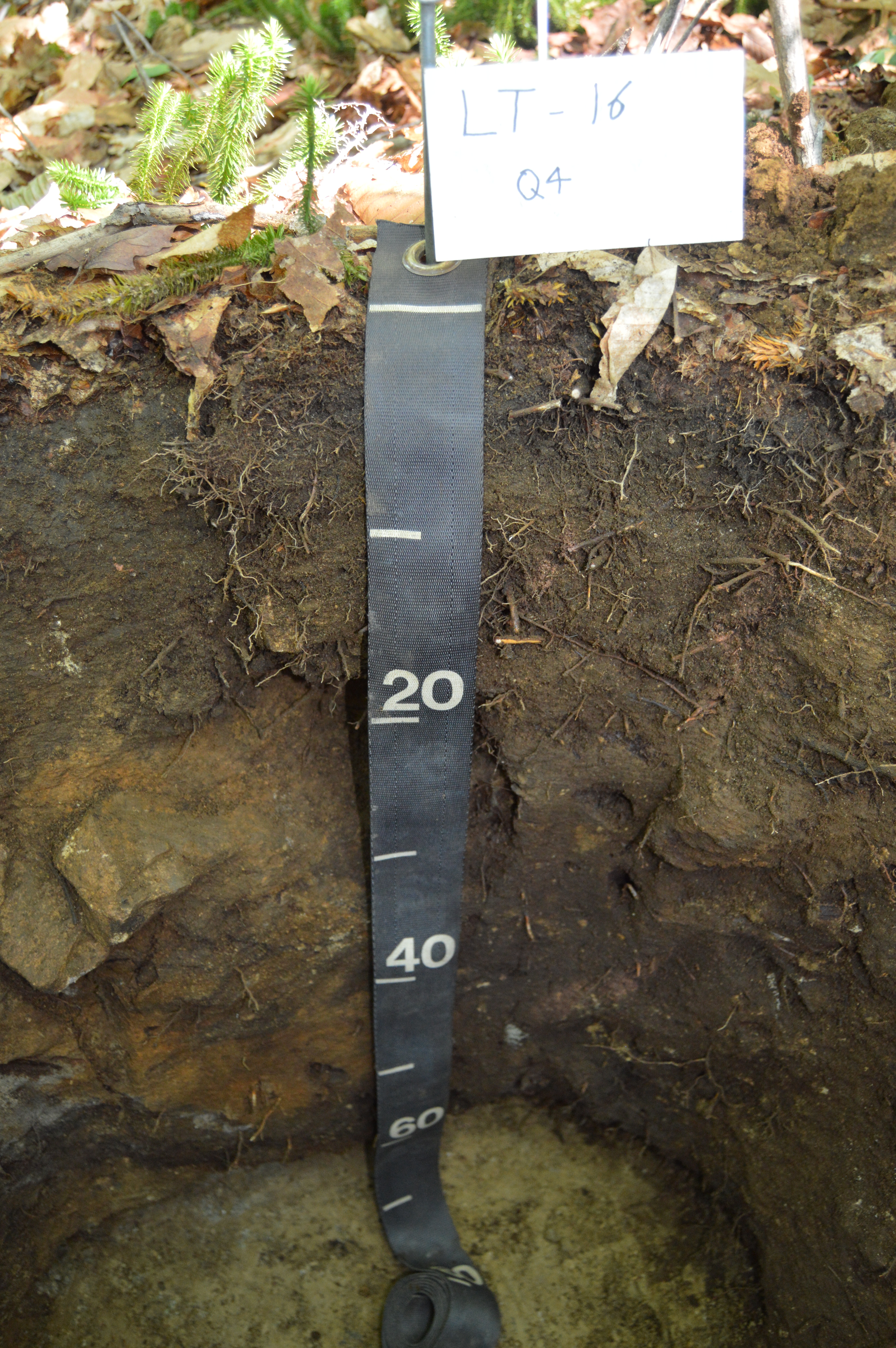
| enuSampleType | Sample Type | Soil sample type (H = Horizon, D = Depth). Sampling was done either based off of horizon or depth. | Nominal |
| fkPlotID | Plot ID | Numerical ID given to each of the 100 plots within each site. | Nominal |
| fkQuadrantID | Quadrant ID | The quadrant of the subdivided pit based on cardinal directions, NE, SE, SW, NW, NA. | Nominal |
| fkSiteID | Site ID | Two letter IDs given to each of the 5 sites. | Nominal |
| fldBagID | Bag ID | Label given to each soil sample collected. The bag id uses the following format, SiteID-SampleYR-SampleID-Horizon/Depth. Sample year was recorded in increments of 5 on bag ids starting at year 0 in 2002. | Nominal |
| fldCollector | Collector | Initials of crew members who collected the sample | Nominal |
| fldNRCSLabID | NRCS Lab ID | NRCS Lab ID | Nominal |
| fldUSFSLabID | USFS Lab ID | USFS Lab ID | Nominal |
| fldYear | Year | Year collected | DateTime Date/Time Format: YYYY |
| pkSoilSampleID | Soil Sample ID | Soil sample ID | Nominal |
Sampling Equipment
Equipment and software used to collect data, including how that equipment was used.
No sampling equipment recorded for this dataset
Site Characteristics
The spatial extent of the dataset site coverage, and descriptions of the spatial extent and context for the data collection
No site characteristics recorded for this dataset