Dataset Overview
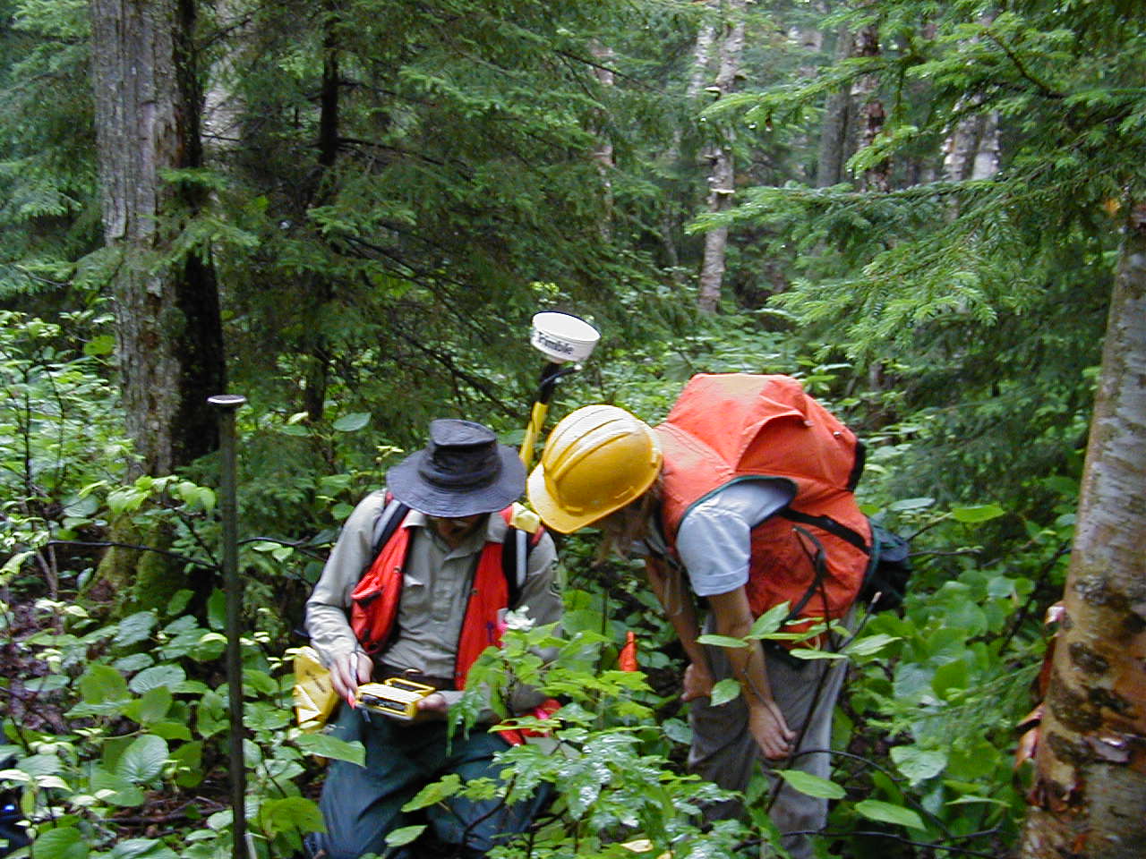
Plot-level information that will aid in the relocation of plots. In 2002 plots corners coordinates were measured using a Trimble. From these plot corner coordinates the center, northeastern, southeastern, southwestern, and northwestern coordinates of the four quadrants in each of the 100 subplots were calculated.
- Purpose
Provide information for relocation of plot quadrants
- Data Collection Status
-
Data collection for this dataset is ongoing
- Start date
2002-01-01
- Contents
1545 records with 15 fields
- Data Availability
-
Data are available upon request
- Preferred Citation
Natural Resources Conservation Service, Forest Ecosystem Monitoring Cooperative, University of Vermont, USDA Forest Service, Green Mountain National Forest and Northern Research Station, and US Geological Survey. (2018) Plot Identifying Information. FEMC. Available online at: https://www.uvm.edu/femc/data/archive/project/long-term-soil-monitoring/dataset/plot-identifying-information-2
- Update Frequency
As needed
- Maintenance Plan
Sampling began in 2002 and is done every 5 years.
- Links
-
No links available for this dataset
- Related Datasets
- Determining Dataset Similarity
- Previous Versions
-
- Version 1 - LTSM_PlotInfo_V1 (created 2018-02-12 by John Truong)