Dataset Overview
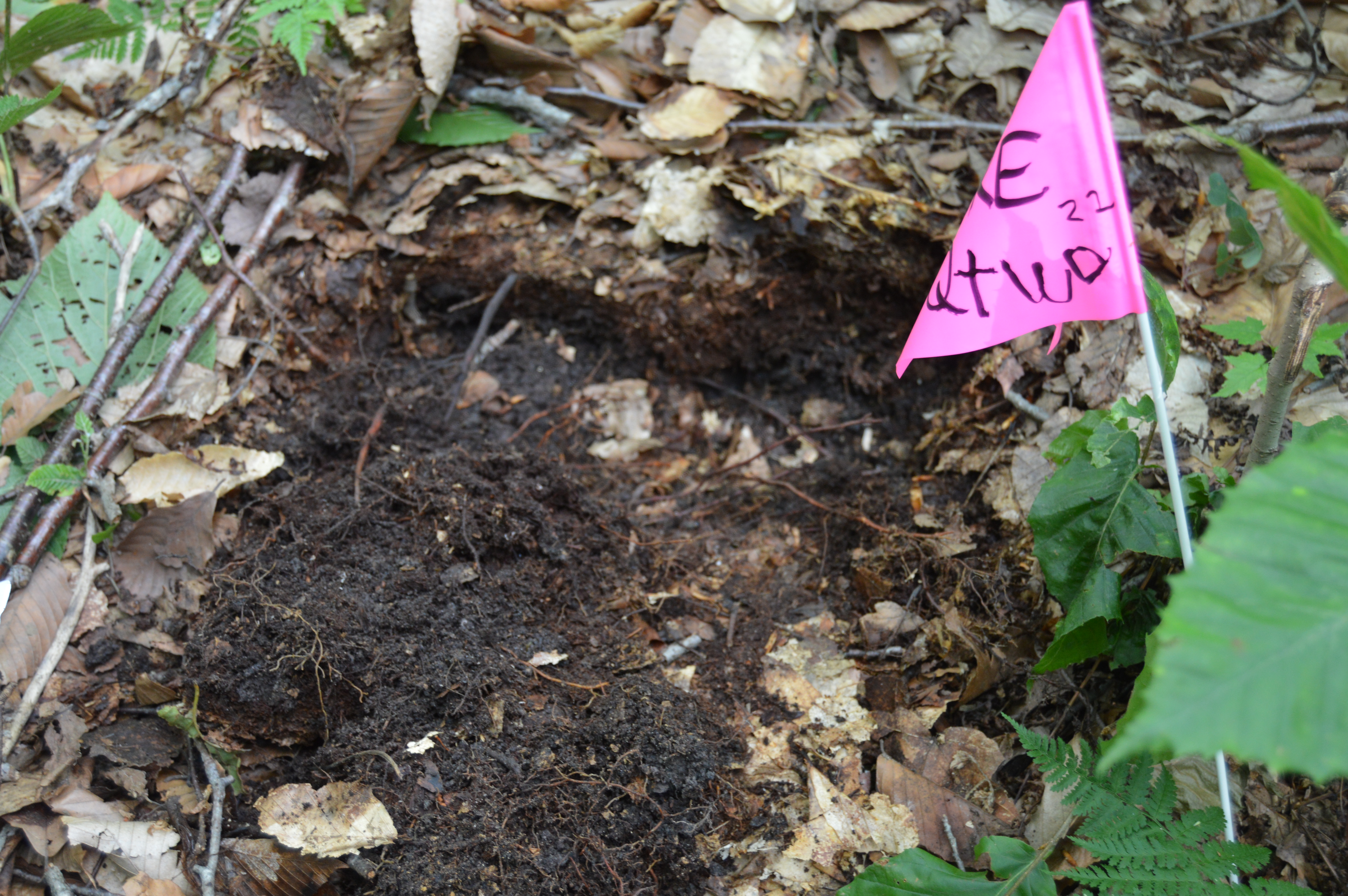
As part of a 200-year forest soil monitoring study, soil samples are taken from 5 different locations (three sites in Mt. Mansfield in northern Vermont and two sites in the Lye Brook Wilderness Area in southern Vermont) every 5 years. At each of the five sites 1 50m x 50m plot has been permanently established, with 100 5m x 5m subplots. Samples were taken from the side of the pit that was described, using a knife and trowel. If Oe was sampled, a larger area of soil surface was peeled backward and “mined”. All samples were collected into 60-ounce clear polyethylene sterile bags (Fisher Scientific) and labeled with soil site, soil pit number, and date. Samples collected for mercury analysis were collected using sampling methods that prevent atmospheric contamination. Samples were sent to labs belonging to NRCS, USFS, and UVM for analysis.
- Purpose
A 200-year forest soil monitoring study that will aid future efforts to detect changes in forest soil properties, essential plant nutrient, mineral, trace element concentrations, soil morphology and soil taxonomy.
- Data Collection Status
-
Data collection for this dataset is ongoing
- Start date
2002-06-01
- Anticipated end date
2202-06-01
- Contents
1121 records with 26 fields
- Data Availability
-
This dataset is not publicly available
- Preferred Citation
John Truong (2018) Core Soil Chemistry. FEMC. Available online at: https://www.uvm.edu/femc/data/archive/project/long-term-soil-monitoring/dataset/core-soil-chemistry
- Update Frequency
As needed
- Maintenance Plan
Sampling started in 2002 and will continue every 5 years until the year 2202.
- Links
-
No links available for this dataset
- Related Datasets
- Determining Dataset Similarity
- Previous Versions
-
- Version 1 - LTSM_CoreSoilChem_V1 (created 2018-02-12 by John Truong)