Project Overview
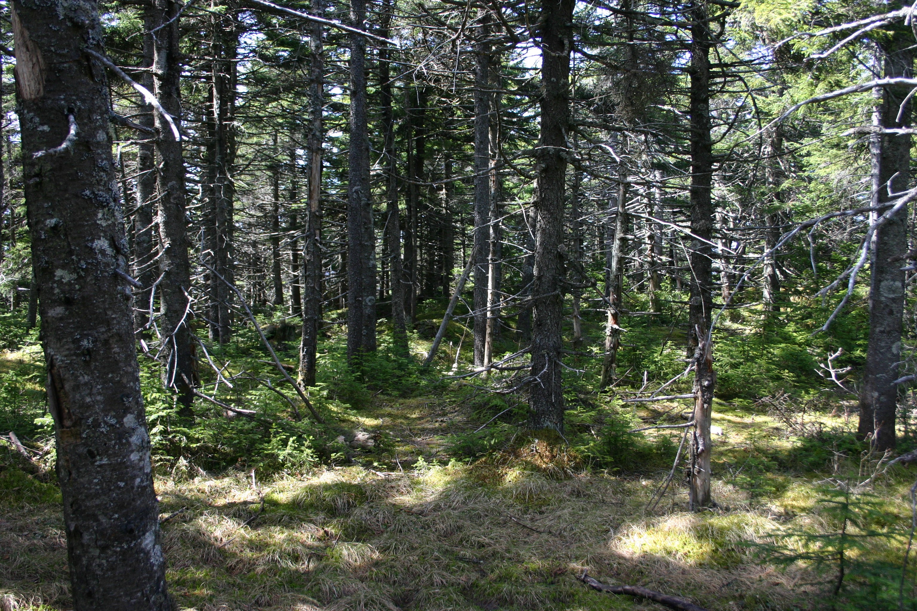
Forest plot sampling of 13 watersheds across the Catskill Mountains, New York. Data for this project was collected as part of a larger-scale effort to document the distribution of forest types within the Catskills using three similar methods of determining relative basal area for all canopy species.
Objectives
The objective of this project was to explore the link between watershed vegetation and soil and stream chemistry, and to ground-truth for Landsat imagery vegetation mapping.
Dataset Availability
Downloadable: 2 datasets
See the full list of available dataTags
Status - Completed
Start date: 1997-01-01
End date: 2000-12-31
Study Area

Loading...