Details and Metadata
Printer-friendly version View XML version Download Ecological Metadata Language file
Methods
The methods followed in the creation of the dataset, including description of field, laboratory and processing steps, and quality control procedures
Current Methods
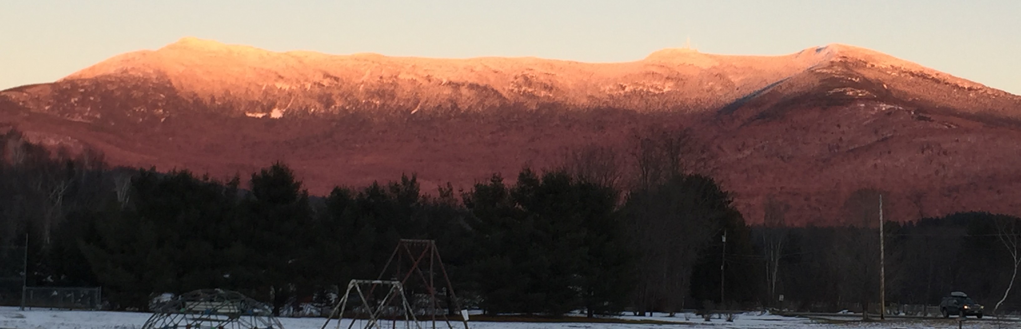
Mapping of Mount Mansfield quadrant
Started: 1993-06-01Over a 3-4 year period, mapping of the Mount Mansfield quadrant will be conducted using trails, brooks, ridgelines and compass bearings to examine natural bedrock exposures.
Dataset Fields
Detailed documentation of the fields comprising the dataset, including the type of measurement, units where applicable, and any controlled vocabularies or code lists present in the data
Field Name Caption Description Additional Information Angle to horizontal Angle to horizontal (DIP) Angle to horizontal (DIP)
Azimuth Azimuth Azimuth
Designated Age Designated Age Designated Age
DIP Direction DIP Direction DIP Direction
Ductile Faults Ductile Faults Ductile Faults
Lithologic Units Lithologic Units Lithologic Units
Marker Type Marker Type Marker Type
Outcrops Outcrops Outcrops
Relative Age Relative Age Relative Age
Rotation Trend Rotation Trend Rotation Trend
Subtype Subtype Subtype
Symbol Angle Symbol Angle Symbol Angle
Type Type Type
Sampling Equipment
Equipment and software used to collect data, including how that equipment was used.
No sampling equipment recorded for this dataset
Site Characteristics
The spatial extent of the dataset site coverage, and descriptions of the spatial extent and context for the data collection
- Site Description