Areas of expertise
FAA Part 107 certified UAS pilot
BIO
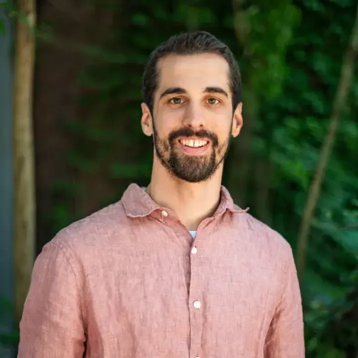
Daniel joined the Spatial Analysis Lab in 2022 while participating in the Geographic Information Systems and Data Communication professional certificate at UVM. He started as temporary technician and moved quickly to full-time staff. In addition to assisting in supervising the SAL’s student and temporary technicians, Daniel is a FAA Part 107 certified UAS pilot and works with the UAS team on a variety of projects. He also works in preparing data to be used in mapping and analyses. He has a wealth of experience with a variety of mapping projects and imagery, including small town Urban Tree Canopy assessments, regional full land cover mapping, and green roofs mapping. When not at work, he enjoys climbing, hiking, reading, and cross-country skiing.
Bio
Daniel joined the Spatial Analysis Lab in 2022 while participating in the Geographic Information Systems and Data Communication professional certificate at UVM. He started as temporary technician and moved quickly to full-time staff. In addition to assisting in supervising the SAL’s student and temporary technicians, Daniel is a FAA Part 107 certified UAS pilot and works with the UAS team on a variety of projects. He also works in preparing data to be used in mapping and analyses. He has a wealth of experience with a variety of mapping projects and imagery, including small town Urban Tree Canopy assessments, regional full land cover mapping, and green roofs mapping. When not at work, he enjoys climbing, hiking, reading, and cross-country skiing.
