South Burlington
Plant Communities
The forests, wetlands and fields of South Burlington are classic examples of
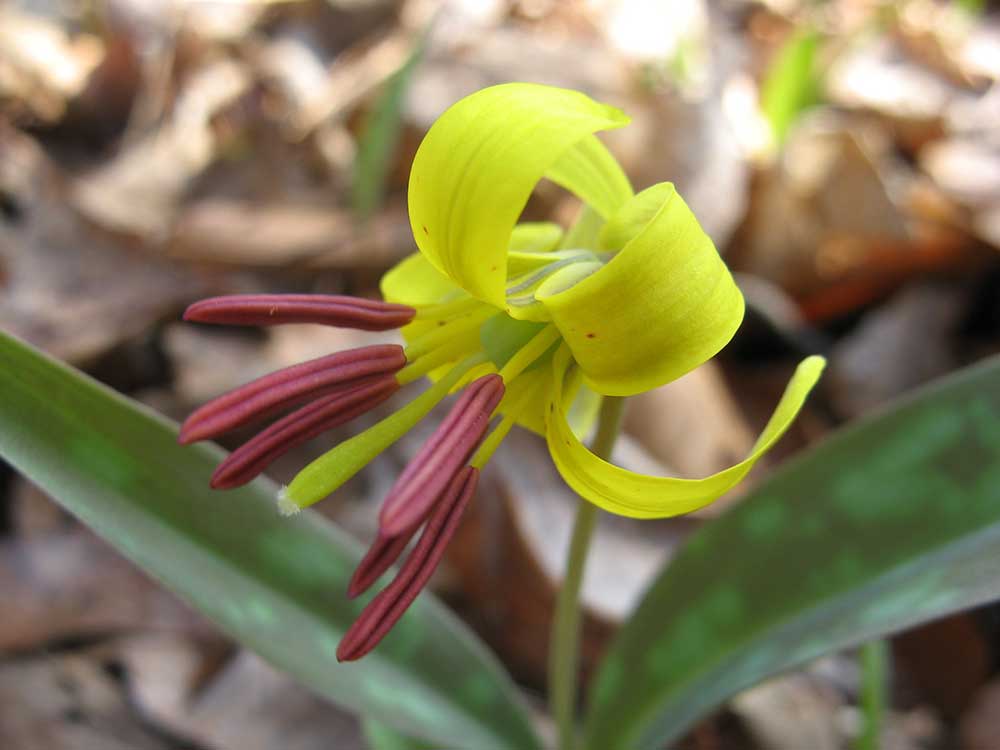 Trout Lily
A number of variables are required to explain why a certain plant grows in a certain spot. Climate is at the top of that hierarchy of variables, controlling the regional distribution of plants and natural communities. The Champlain Valley has a warm, dry climate; it is jokingly nicknamed the “banana belt” of Vermont. Lake Champlain has a mitigating effect on the extreme New England
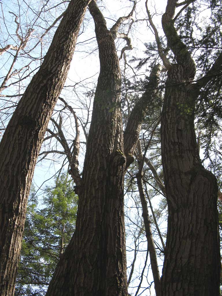 Red Oak
NATURAL COMMUNITY - VALLEY CLAYPLAIN FOREST
Zooming in from the regional climate, substrate and soils determine the distribution of plants and natural communities on a finer scale. In South Burlington, geologic history has draped the land with rich clay soils. Following the retreat of the Wisconsin Ice Sheet, glacial Lake Vermont filled the entire Champlain Valley and melt-water rushed in from the swollen rivers. These rivers were full of debris - rocks, till, sand, and fine clay particles roared into Lake Vermont.
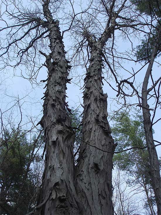 Shagbark Hickory
While climate and clay shaped the natural vegetation of South Burlington over thousands of years, culture has more recently influenced natural communities here. The Abenaki and first white settlers were guided by the natural vegetation; rich clay soils led to good agricultural yields and shallow rocky soils did not. But as much as the land influenced the settlers, the settlers exerted control on the land. Homesteaders introduced vegetation from southern New England and Europe, for example, planting stands of black locust trees to be harvested and used as fence posts. They also brought unintentional species: earthworms, invasive grasses, and pathogens. Their stonewalls and barbed wire divided the land and changed the shape of the landscape from a nebulous patchwork of natural communities to one of right angles, open fields, and pastures. While many of those field and pastures are no longer in use, they leave behind a legacy of cleared land and old field succession. The matrix community or dominant vegetation in South Burlington used to be Valley Clayplain Forests. Today there is an abundance of white pine, a species closely associated with abandoned fields and pastures.