Dataset Overview
Polygon delineations of 50-foot riparian buffers and metrics of projected HWA impacts (2013-2027).
- Purpose
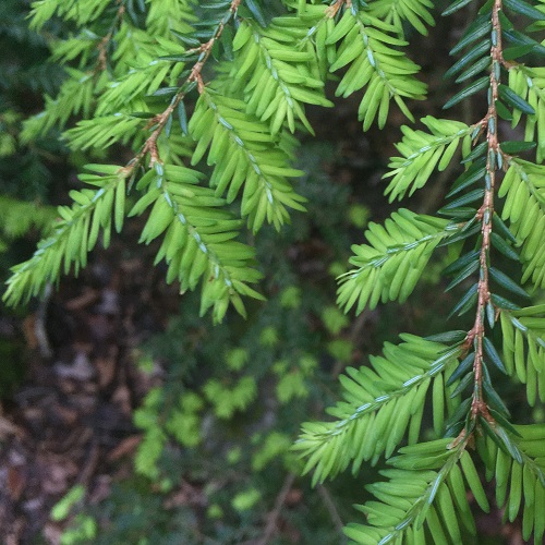
The purpose of this dataset was to compute projected losses of eastern hemlock due to HWA (2013-2027; USFS 2012) in 50-foot riparian buffers to identify 'at risk' locations for monitoring, research, or management.
- Data Collection Status
-
Data collection for this dataset has been completed
- Start date
2018-06-01
- End date
2018-11-01
- Data Availability
-
Available for download
- Data License

- Preferred Citation
Kosiba, AM and Duncan, JA (2018) 50-foot riparian buffers with projected BA losses. FEMC. Available online at: https://www.uvm.edu/femc/data/archive/project/hemlock-woolly-adelgid-riparian-losses-new-york/dataset/50-foot-riparian-cooridors-with-projected
- Update Frequency
Not planned
- Maintenance Plan
Not provided
- Links
-
No links available for this dataset
- Related Datasets
- Determining Dataset Similarity