Details and Metadata
Printer-friendly version View XML version Download Ecological Metadata Language file
Methods
The methods followed in the creation of the dataset, including description of field, laboratory and processing steps, and quality control procedures
Past Methods (No longer in use)
- Night-time road surveys
Started: 1991-04-15
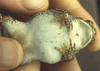
Ended: 1995-07-01Night-time road surveys are done on rainy nights in early spring to identify all amphibians seen on roads and calling in the vicinity of roads. A constant speed of 10 mph is used to estimate abundance and location of breeding sites
Dataset Fields
Detailed documentation of the fields comprising the dataset, including the type of measurement, units where applicable, and any controlled vocabularies or code lists present in the data
| Field Name | Caption | Description | Additional Information |
|---|---|---|---|
| Year | Year | The year in which the survey was conducted | DateTime Date/Time Format: YYYY |
| Species | Species | Species detected during night-time road survey | Nominal |
| # per NTRS | Number per night-time road survey | The number of each species detected during a night-time road survey | Interval Units: Precision: 0.1 |
Sampling Equipment
Equipment and software used to collect data, including how that equipment was used.
No sampling equipment recorded for this dataset
Site Characteristics
The spatial extent of the dataset site coverage, and descriptions of the spatial extent and context for the data collection
- Site Description
Roads in Underhill Center, Vermont
Minimum Altitude: 1000 feet
Maximum Altitude: 2000 feet