
Details and Metadata
Printer-friendly version View XML version Download Ecological Metadata Language file
Methods
The methods followed in the creation of the dataset, including description of field, laboratory and processing steps, and quality control procedures
Current Methods
Fence locations
Started: 1991-04-01On Mansfield, drift fences located in the Browns River drainage. Two fences at 1200' (Proctor Maple Research Center) (1) in mixed northern hardwoods, (2) in hemlock stand; 2200' (off CCC road in Underhill State Park) in mixed northern hardwoods; and at 3200' (off Sunset Ridge Trail) in spruce and fir forest. No data collected in 2009.
Monitoring sites
Started: 2008-04-01At Lye Brook, monitoring restarted with three drift fences located outside of the north and south ends of wilderness area used for monitoring: 860' fence near Lye Brook Falls Access area, 2400' and 2700' fence off Branch Pond Road
Preparation and sampling
Started: 1991-04-01Drift fence bucket lids removed the day prior to anticipated heavy rain events, with samples collected after rain. Sampling done approximately 3 times per month, April through October.
Length measurements
Started: 1994-04-01At each drift fence, length measurements were taken only on the first three individuals from each size class and species. Total length of specimens measured from the tip of the nose to the tip of the body or tail. Snout-to-vent length also measured as length from tip of snout to vent or cloacal opening.
Past Methods (No longer in use)
- Drift fence locations
Started: 1993-04-01
Ended: 2002-10-31At Lye Brook, drift fences located outside of the north and south ends of wilderness area used for inventory: 860' fence near Lye Brook Falls Access area, 2400' and 2700' fence off Branch Pond Road.
- Drift fence location distinction
Started: 1995-04-01
Ended: 2002-10-31At Lye Brook, only the lower elevation drift fence (860') was used for inventory, the two upper elevation (2400' and 2700') were used for monitoring
Dataset Fields
Detailed documentation of the fields comprising the dataset, including the type of measurement, units where applicable, and any controlled vocabularies or code lists present in the data
Field Name Caption Description Additional Information #_Field_workers #_Field_workers Air_Temp Air_Temp Common_name Common_name Nominal Date_Entered Date_Entered DateTime Date/Time Format: MM/DD/YYYY Ending_time Ending_time DateTime Date/Time Format: hh:mm Info_ Info_ Nominal Large_Block Large_Block Nominal Latin_name Latin_name Nominal Latitude_in_dec__degrees Latitude_in_dec__degrees Longitude_in_dec__degrees Longitude_in_dec__degrees Number_egg_masses Number_egg_masses Nominal Number_total Number_total Num_Field_workers Num_Field_workers Observation_ID Observation_ID Other_species Other_species Nominal Other_species__ Other_species__ Nominal Other_species___ Other_species___ Nominal Physical_info Physical_info Nominal Site_notes Site_notes Nominal Site_notes__ Site_notes__ Nominal Site_notes___ Site_notes___ Nominal Specific_loc Specific_loc Nominal Starting_time Starting_time DateTime Date/Time Format: hh:mm SV_value SV_value Total_time Total_time Total_value Total_value County County county in which animal was identified or collected
Nominal Town Town The town in which sampling occurred
Nominal Large Block Block information The name of the larger block within which sampling was done
Nominal Date Date of collection The date of the collection
DateTime Date/Time Format: YYYY-MM-DD Site Site information The site within the block that was being sampled
Nominal Latin name Scientific name The scientific (Latin) name of the individual captured
NominalAmphibian Survey and Monitoring Drift Fence Species Codes
+ showAppears in data as Meaning Ambystoma maculatum (Ambystoma maculatum) - View ITIS Record Pseudacris crucifer (Pseudacris crucifer) - View ITIS Record Lithobates sylvaticus Wood Frog (Lithobates sylvaticus) - View ITIS Record Lithobates palustris Pickerel Frog (Lithobates palustris) - View ITIS Record Eurycea bislineata (Eurycea bislineata) - View ITIS Record Anaxyrus americanus American Toad (Anaxyrus americanus) - View ITIS Record Gyrinophilus porphyriticus Spring Salamander; salamandre pourpre (Gyrinophilus porphyriticus) - View ITIS Record Desmognathus fuscus Northern Dusky Salamander; Dusky Salamander; salamandre sombre du nord (Desmognathus fuscus) - View ITIS Record Thamnophis sirtalis (Thamnophis sirtalis) - View ITIS Record Notophthalmus viridescens Eastern Newt; triton vert (Notophthalmus viridescens) - View ITIS Record Pletodon cinereus (Plethodon cinereus) - View ITIS Record Lithobates clamitans Green Frog (Lithobates clamitans) - View ITIS Record Hyla versicolor Gray Treefrog (Hyla versicolor) - View ITIS Record Common name Common name The common name for the individual
Nominal Number total Total number captured The total number of individuals captured
Ratio Units: dimensionless
Precision: 1SV value Snout to vent length standard length measurement for amphibians (tip of snout to end of vent)
Ratio
Unit: millimeter
Precision: 0.1Total value Total length The total length of the specimen
Ratio
Unit: millimeter
Precision: 0.1Physical info Physical information Physical information about the species
Nominal Specific loc Specific location The specific location of the data collection
Nominal Status Visit status The outcome of the search in terms of species detection
Nominal Info General information General information about the specific visit
Nominal Weather Weather on search date Description of the weather on search date
Nominal Air Temp Air temperature Air temperature at time of data collection
Interval
Unit: celsuis
Precision: 0.01Method Method of capture How the specimen was captured
Nominal Starting time Starting time The time when the search begain
DateTime Date/Time Format: hh:mm Ending time Ending time The time when the search was ended
DateTime Date/Time Format: hh:mm Total time Total time Total time spent searching on this date
Ratio
Unit: minute
Precision: 1Names Names of field workers The names of field workers
Nominal Num field workers Number of field workers The number of workers collecting data for this survey (indicator of search intensity)
Ratio Units: dimensionless
Precision: 1Site notes Site notes Notes about the site at the time of collection
Nominal Other species Other species observed Other species observed during the visit
Nominal Class Species class Common name of the species class, reptile or amphibian
Nominal Order Species order The scientific name of the order of the specimen
Nominal Date Entered Date entered Date the data was originally entered
DateTime Date/Time Format: YYYY-MM-DD Observation ID Observation ID A unique record identifying the particular observation
Nominal Sampling Equipment
Equipment and software used to collect data, including how that equipment was used.
Past Sampling Equipment (No longer in use)
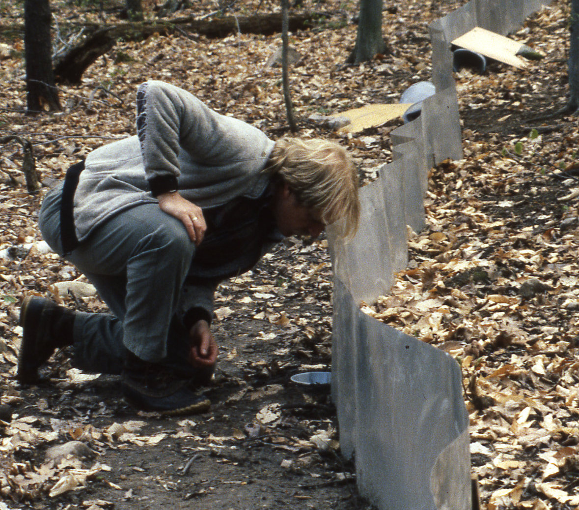
Drift fences, buckets, snake traps
Started: 1993-04-01
Ended: 1995-10-31At Lye Brook, 3 drift fences constructed of straight sections of 30-meter lengths of aluminum flashing. 17-liter plastic buckets were placed at the end, with #10 tin cans with funnel tops in the middle. Screen "snake" traps also used.
Site Characteristics
The spatial extent of the dataset site coverage, and descriptions of the spatial extent and context for the data collection
- Site Description
At Lye Brook Area, includes Lye Brook access area (840') and Branch Pond Road (2400' and 2700').
Minimum Altitude: 840 feet
Maximum Altitude: 2700 feet
- Site Description
West slope of Mount Mansfield at 3 elevations: 1200', 2200' and 3200'
Minimum Altitude: 1200 feet
Maximum Altitude: 3200 feet