Despite their name, each winter, Vermont’s Green Mountains trade their distinct hues for a softer and more crystalline palette. From November through April, snow blankets the peaks in glistening whites and grays, drawing skiers and snowboarders from far and wide to the region’s renowned slopes.
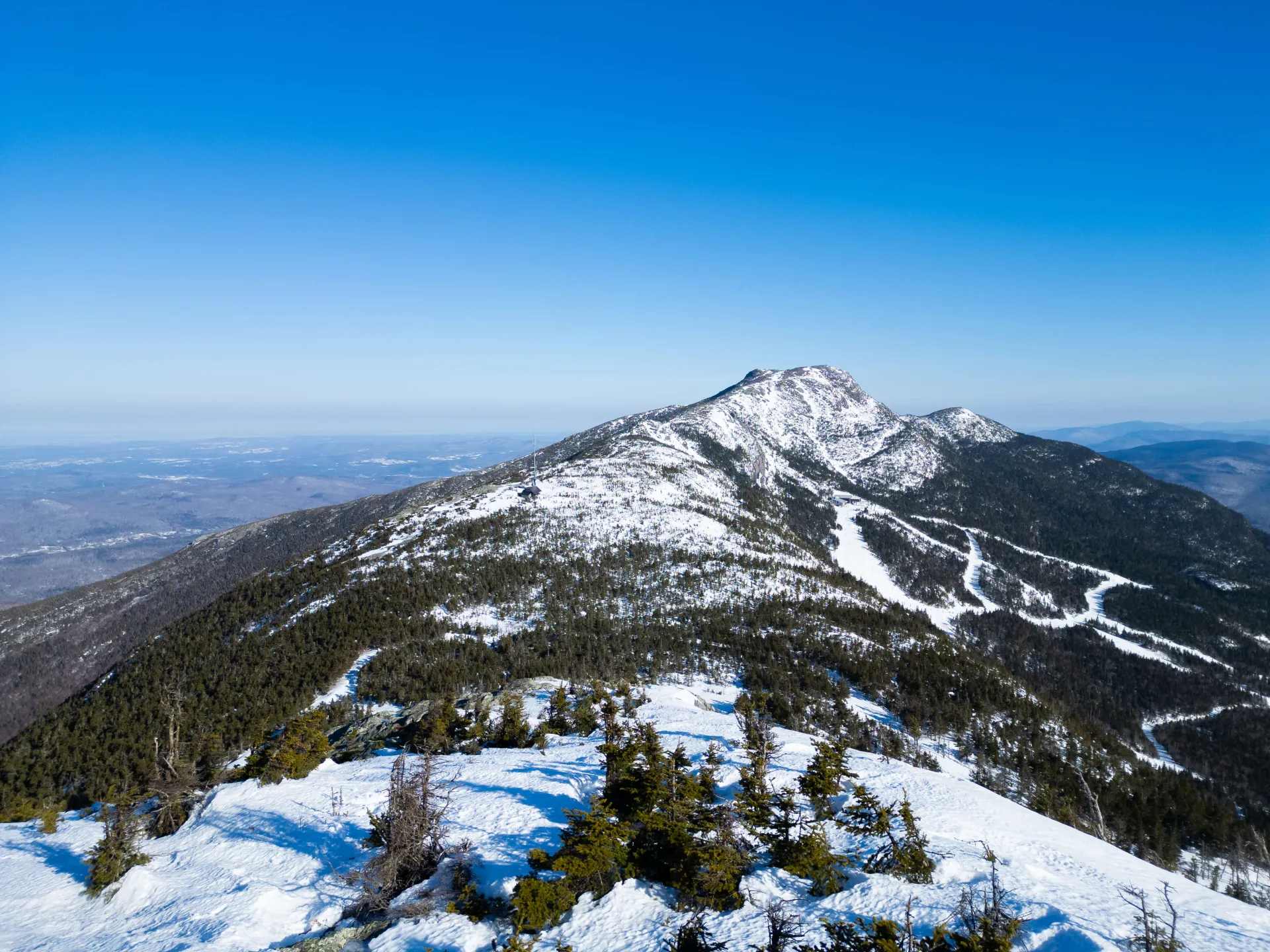
Mount Mansfield, the state’s tallest peak and home to Stowe Mountain Resort, sits at 4,393 feet. Known for its crimson red gondolas, steep, technical runs, and scenic ridgelines, the mountain has long been sought after by recreationalists. Yet, beyond its reputation as a world-class resort, Mount Mansfield also serves as a critical hub for research.
Snow is far more than a winter wonder—it is both a product and driver of the regional climate, shaping recreation, local economies, infrastructure, soil health, and aquatic ecosystems. The snowpack plays a critical role in sustaining water resources, regulating the climate, and impacting human activities, affecting the Northeast long after winter has passed.
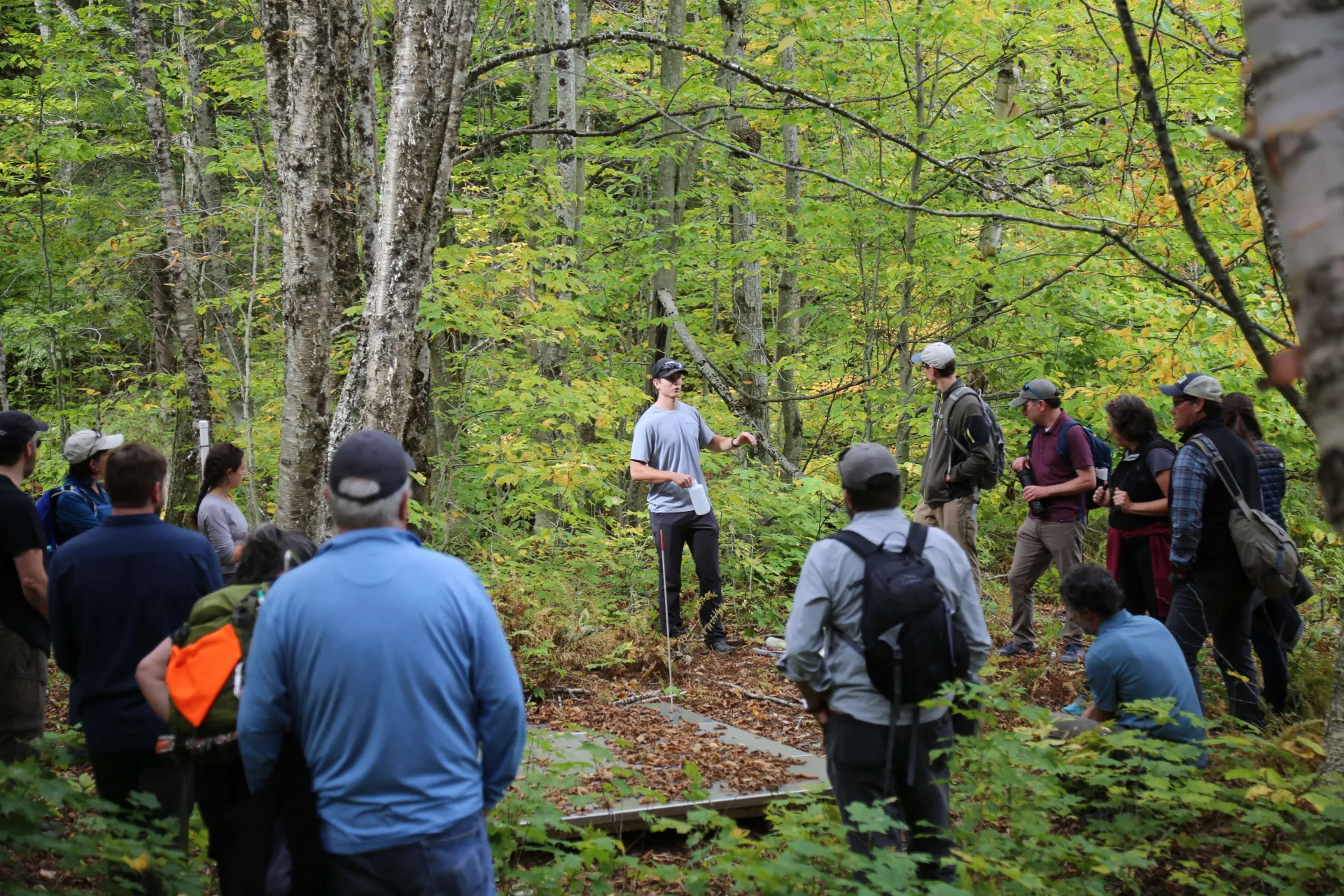
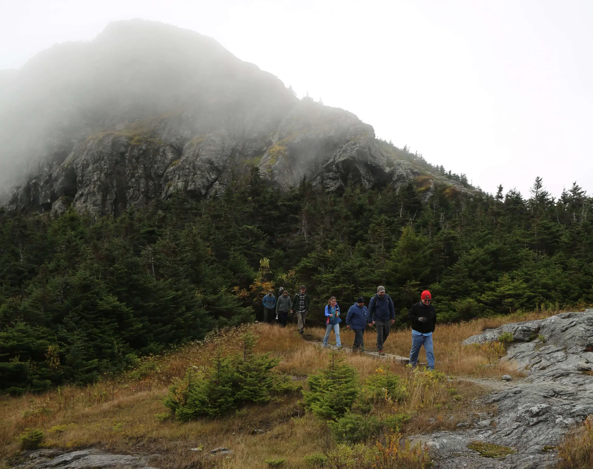
The University of Vermont (UVM) owns and conserves nearly four hundred acres that make up the summit ridgeline of Mount Mansfield. This mountain preserve provides a wealth of opportunities for students and educators to research subjects such as alpine plant ecology, snow hydrology, meteorology, ornithology, recreation, and more.
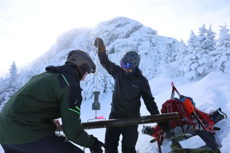
Back in 2000, two streamflow monitoring stations were established on streams of the eastern slopes of the mountain. These gages, along with the iconic National Weather Service (NWS) snow stake, provide multi-decade records of snow depth and runoff, allowing researchers to uncover long-term trends in the northeastern snowpack.
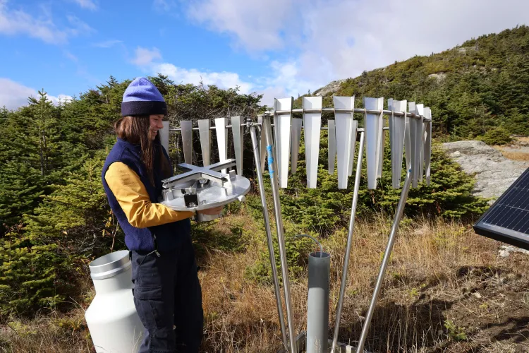
However, despite these records, there is a lack of distributed weather data in the Northeast, particularly in the winter. The Summit to Shore (S2S) Environmental Monitoring Network, originally funded by the US Army Corps of Engineers Cold Regions Research and Engineering Laboratory (CRREL), is an observation network aiming to fill this gap.
15 weather and snow monitoring stations are situated on the mountain as part of the S2S Network, providing key snow and meteorological instrumentation where the most rain and snowfall occur. As the Northeast mountains are highly sensitive to temperature changes, the snowpack has the potential to drive flooding events downstream.
Unfortunately, unlike the western states, our region doesn’t have effective snow monitoring coverage to help forecasters predict these flooding events. The initial S2S pilot for these stations in the high-elevation environment of Mount Mansfield has aided a collaborative initiative to develop a coordinated snow monitoring network across the northeastern United States.
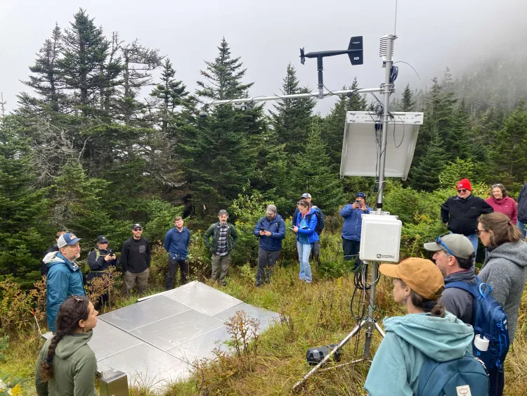
The Northeast Snow Survey (NESS) feasibility study, funded through the US Department of Agriculture Natural Resources Conservation Service, aims to architect a coordinated, automated snowpack and climate monitoring network across Vermont, New Hampshire, and Maine. The goal of NESS is to improve regional flood forecasting, enhance long-term ecological research, and support local recreation economies. The infrastructure on Mount Mansfield serves as an indicator for this network for what types of equipment work well in our region’s harsh winter conditions.
Beyond the NESS feasibility study, the S2S network is already integrating its automated instrumentation regionally and even globally. Joshua Beneš, the Associate Director of UVM’s Water Resources Institute, has been leading an effort with partners across the region to incorporate real-time weather and snow monitoring data on Mount Mansfield into a new Northeast Network of Mountain Observatories (NENMO).
Mount Mansfield is joining prominent regional mountain observatory partners like the Mount Washington Observatory in New Hampshire and the Atmospheric Sciences Research Center’s Whiteface Mountain Field Station in New York. By linking these specific peaks, NENMO establishes a key west-to-east monitoring system that gives meteorologists the data they need to make more informed weather and flood forecasts.
With $500,000 in funding from the Environmental Protection Agency’s Environmental Network Program, all three of these observatories will provide accessible and standardized data needed to improve weather and flood forecasts. Soon, meteorologists and recreationalists alike will be able to access the shared data through a common web portal that showcases the collective weather conditions across all the mountain observatories.
This regional collaboration, in turn, is directly contributing to the development of the global Unified High Elevation Observing Platform (UHOP). UHOP is being developed by international partners through the Mountain Research Initiative out of Switzerland. The NENMO network is now serving as a regional case study for UHOP, which aims to establish international standardized protocols for observing weather and climate across elevational gradients.
By collaborating with these international partners, Mount Mansfield is being showcased as a critical testbed for monitoring elevation-dependent climate impacts alongside other mountains like Kilimanjaro and Mount Everest—putting Vermont’s peak “on the map."
Learn more about the monitoring infrastructure on Mount Mansfield at the Water Resources Institute’s upcoming talk and walk in Stowe, Vermont. Register here.