
Details and Metadata
Printer-friendly version View XML version Download Ecological Metadata Language file
Methods
The methods followed in the creation of the dataset, including description of field, laboratory and processing steps, and quality control procedures
Current Methods
Sample collection
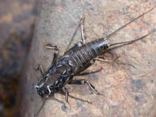
Started: 2000-01-01Vermont DEC collects macroinvertebrate community samples during an annual index period that runs from September 1st through mid-October. Samples are collected from riffle habitats, and sorted and identified in the laboratory. DEC biologists use population data, as well as a number of community variables (called metrics) to assess stream health.
Dataset Fields
Detailed documentation of the fields comprising the dataset, including the type of measurement, units where applicable, and any controlled vocabularies or code lists present in the data
Field Name Caption Description Additional Information 30DayMedian 30DayMedian Ratio Units:
Precision: 0.01Annual Peak Discharge Annual Peak Discharge Interval Units: Annual_Peak_Discharge Annual_Peak_Discharge CommunityAssessment CommunityAssessment Nominal CPOM CPOM Nominal Date Date DateTime Date/Time Format: M/DD/YYYY hh:mm:ss DayIntoIndex DayIntoIndex Ordinal DrainageArea DrainageArea Ratio Units:
Precision: 0.001Elevation Elevation Interval Units: LabID LabID Nominal Latitude Latitude Ratio Units: Location Location Nominal Longitude Longitude Ratio Units: MeanBaetidae% MeanBaetidae% Ratio Units: MeanDensity MeanDensity Ratio Units: MeanEPT/EPT+Chiro MeanEPT/EPT+Chiro Ratio Units: MeanEPTRichness MeanEPTRichness Ratio Units: MeanNew_BI MeanNew_BI Ratio Units: MeanOligochaeta% MeanOligochaeta% Ratio Units: MeanRichness MeanRichness Ratio Units: MeanShredderDetritus% MeanShredderDetritus% Ratio Units: ModelTypeID1 ModelTypeID1 Nominal PMA-O1 PMA-O1 Ratio Units: PPCS-1 PPCS-1 Ratio Units: SiteID SiteID Nominal Station Station Nominal Sampling Equipment
Equipment and software used to collect data, including how that equipment was used.
No sampling equipment recorded for this dataset
Site Characteristics
The spatial extent of the dataset site coverage, and descriptions of the spatial extent and context for the data collection
- Site Description
The DEC (Vermont Department of Environmental Conservation) conducts long term monitoring within twelve "sentinel" streams in Vermont. These reference streams vary widely in size (4.6 - 510km^2). One of the longest running sentinel monitoring stations is at Ranch Brook near Stowe, VT. Ranch Brook has a drainage area of 10 km^2 and an elevation of 378m.
Minimum Altitude: 33 meters
Maximum Altitude: 585 meters