
Details and Metadata
Printer-friendly version View XML version Download Ecological Metadata Language file
Methods
The methods followed in the creation of the dataset, including description of field, laboratory and processing steps, and quality control procedures
Current Methods
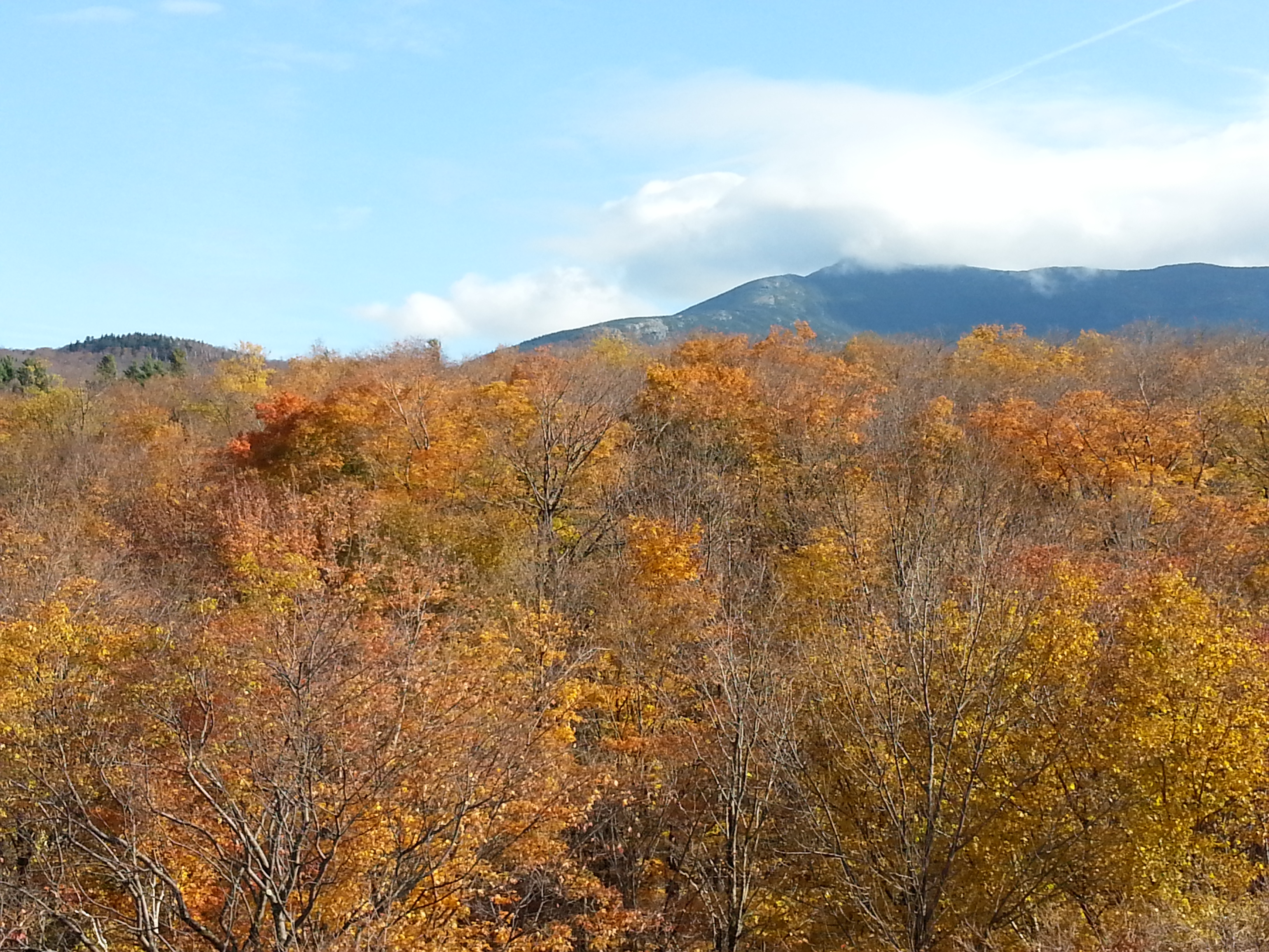
Canopy photography
Started: 1991-06-26A canopy photography technique for monitoring stand condition was developed to allow comparisons with forest health survey plots.
Photo points
Started: 1993-07-0124-25 permanent photo points per forest health plot (North American Maple Project plot and 2 Forest Health Monitoring plots at 1400 and 2200 ft).
Camera set up
Started: 1991-06-26True color slides using wide angle lens on 35mm camera mounted vertically from a tripod at a height of 1 m from the ground.
Time frame
Started: 1993-07-01Slides are taken in late July to early August.
Image analysis
Started: 1991-06-26Image analysis is done with either a computerized image analysis (Swath Kit) or through manual projections.
Percent canopy
Started: 1991-06-26Percent canopy cover is measured.
Dataset Fields
Detailed documentation of the fields comprising the dataset, including the type of measurement, units where applicable, and any controlled vocabularies or code lists present in the data
Field Name Caption Description Additional Information Can_Cover Canopy Cover Canopy cover (percent of sky not obscured by vegetation) measured from hemispherical fixed plot image
Measurement type: Ratio
Units:
Precision: 0.00001Date Date Date
Measurement type: DateTime
Date/Time Format: DD/MM/YYYYPlot Plot Plot
Measurement type: Nominal Plot_mean Plot mean Mean of canopy cover for each plot
Measurement type: Ratio
Units:
Precision: 0.00001Site Site Location of photo plot
Measurement type: Nominal Swath_kit Swath kit Computer generated canopy measurement
Measurement type: Ratio
Units:
Precision: 0.01Sampling Equipment
Equipment and software used to collect data, including how that equipment was used.
Current Equipment
Camera,
35 mm camera with a 17 mm wide angle lens; Ektachrome slides (ISO200); tripod. plumb bob; bubble level
Site Characteristics
The spatial extent of the dataset site coverage, and descriptions of the spatial extent and context for the data collection
- Site Description
Browns River drainage at 1400 and 2200 feet.
- Site Description
Northern hardwood forests.