Project Overview
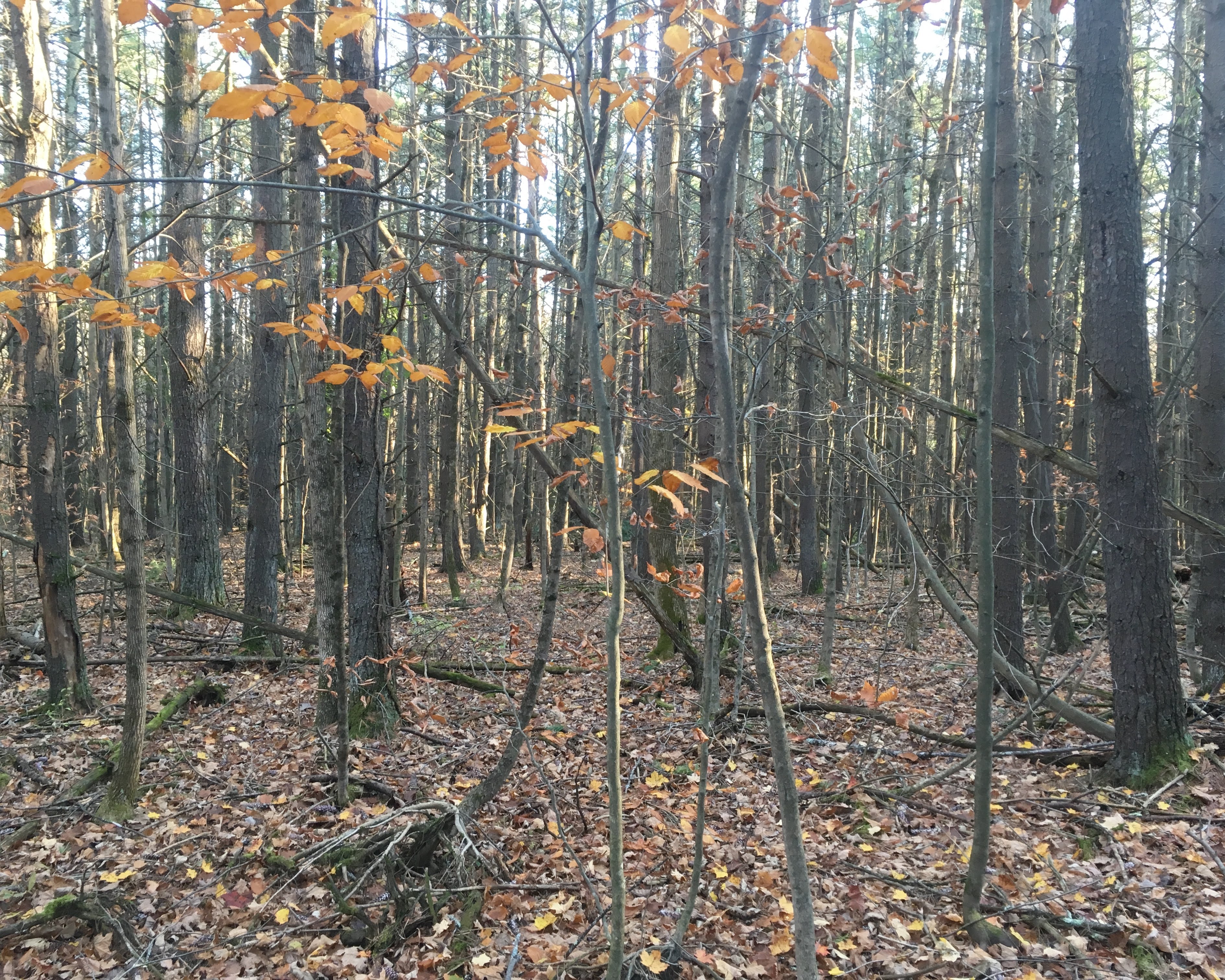
Delineation data of forest stands in watershed lands located to the east and west of the Hudson River, NY. Stand delineation data are updated routinely as new lands are acquired and as stand boundaries change due to a shift in forest structure (e.g., management activities, disturbance). Variables collected for each forest stand are land cover (Anderson 1979 methodology) and area.
Objectives
The goal of this project is to delineate forest stands in watersheds on either side of the Hudson River, NY, for forest management purposes.
Dataset Availability
By request: 1 dataset
See the full list of available dataTags
Status - Active
Start date: 2003-01-01
Study Area

Loading...