
Details and Metadata
Printer-friendly version View XML version Download Ecological Metadata Language file
Methods
The methods followed in the creation of the dataset, including description of field, laboratory and processing steps, and quality control procedures
Current Methods
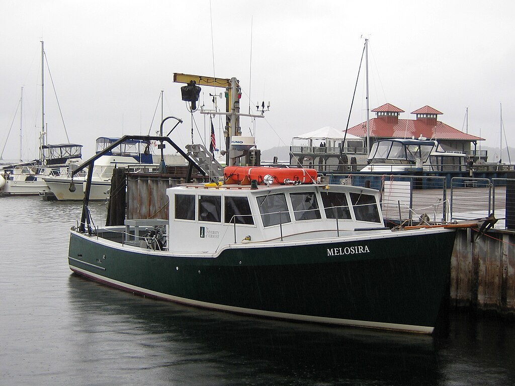
Collect profile data w/ SeaBird
Deploy SeaBird CTD from ship
Instrumentation: SeaBird SBE 19Plus
Software: Seaterm and SBEDataProcessing (free download from Seabird website)
Process data
Process data by creating 1-m depth bins and saving as a .cnv file
Instrumentation: SeaBird SBE 19Plus
Software: Seaterm and SBEDataProcessing (free download from Seabird website)
Check & combine data in R
Import .cnv files, extract metadata, check water column data, and save combined, larger dataframes as .csv files
Software: R with 2 scripts
Upload data into Access
Import .csv files into two Access tables: metadata (1 row per cast) and water column data (each measurement of the cast)
Software: Microsoft Access
Export full dataset into Excel
In Access, we fully join metadata and profile data, where each single measurement is associated with metadata. Export into Excel for easier sharing.
Software: Microsoft Excel
Dataset Fields
Detailed documentation of the fields comprising the dataset, including the type of measurement, units where applicable, and any controlled vocabularies or code lists present in the data
Field Name Caption Description Additional Information file_name file_name File name to link the metadata & profile data extracted from each cast's raw data (.CNV) file
Nominal sampleID sampleID Unique sample ID based on the gear type, date, and CTD cast within that date in the format CTD_MMDDYYYY_#. Example: The third cast of the day on October 7, 2015 would have the sampleID CTD_10072015_3.
Nominal Year Year Year cast was taken
DateTime Date/Time Format: YYYY date_start Date Date the CTD cast was taken
DateTime Date/Time Format: MM/DD/YY Time Time Start time of cast, local time
DateTime Date/Time Format: hh:mm:ss Basin Basin Lake Champlain major basin: Main Lake, Malletts Bay, or Inland Sea
Nominal Region Region Lake Champlain region based on coordinates and/or field notes: North, Central, or South Main Lake; Inland Sea; Malletts Bay
Nominal MajorManag Major management basin Numeric description of major basin in Lake Champlain
Nominal MinorManag Minor management basin Numeric description of minor basin (within major basin) in Lake Champlain
Nominal Lat_DD Latitude Latitude in decimal degrees (WGS84) for CTD cast; reported to 6 decimal places but may have been recorded to as few as 3 decimal places
Interval Units: decimal degrees
Precision: 0.001Long_DD Longitude Longitude in decimal degrees (WGS84) for CTD cast; reported to 6 decimal places but may have been recorded to as few as 3 decimal places
Ratio Units: decimal degrees
Precision: 0.001Estimated_Coordinates Estimated Coordinates A value of 1 indicates missing coordinates which were estimated based on site descriptions from R/V Melosira ship logs.
Nominal depFM Depth [fresh water, m] Depth in meters from the water surface. Measurements taken at negative depths (above water surface) have been removed.
Ratio Units: Meters
Precision: 0.001c0mS_cm Conductivity [mS/cm] Conductivity measured in milliSiemens per centimeter
Ratio Units: milliSiemens per centimeter
Precision: 0.000001dz_dtM Descent Rate [m/s] Rate CTD descended in water column
Ratio
Unit: metersPerSecond
Precision: 0.001timeS Time, Elapsed [seconds] Time in seconds since start of CTD cast
Ratio Units: Seconds
Precision: 0.01sal00 Salinity, Practical [PSU] Salinity
Ratio Units: practical salinity units
Precision: 0.0001oxsatML_L Oxygen Saturation, Weiss [mL/L] Recorded on SBE 43 Dissolved Oxygen Sensor
Ratio Units: milliliters per liter
Precision: 0.00001tv290C Temperature [ITS-90, deg C] Water temperature in degrees Celsius
Interval Units: degrees Celsius
Precision: 0.0001par PAR/Irradiance, Biospherical/Licor Measured with LI-193 Spherical Quantum Sensor
Ratio Units:
Precision: 0.000001wetStar Fluorescence, WET Labs WETstar Ratio Units: mg/m^3
Precision: 0.0001Scan Scan Sequential scan number recorded during each cast, as an index for when each row of data was collected. Only present for some years.
Ratio Units: flag Flag Measurements with data outside normal value ranges are flagged with 1.
Nominal Sampling Equipment
Equipment and software used to collect data, including how that equipment was used.
No sampling equipment recorded for this dataset
Site Characteristics
The spatial extent of the dataset site coverage, and descriptions of the spatial extent and context for the data collection
- Site Description
Lake Champlain