 |
Soil Carbon and Other Quality
Indicators in Managed Northern Forests | |||||||||||||||||||||||||||||||||||||||
| Willoughby
State Forest 1 site - map below Elevation: 465 m - 1,526 ft Average aspect: 79° (E-NE) Average slope: 7° | ||||||||||||||||||||||||||||||||||||||||
| WIL- Northern Hardwood Forest | ||||||||||||||||||||||||||||||||||||||||
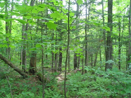 Site History: Willoughby State Forest was heavily logged prior to being acquired by the state of Vermont in the 1960s. The site is located in stand 5; the last harvest at this stand occurred in 1987-1988. WIL - Aboveground Biomass: Average Tree Height: 11.74 m - 38.5 ft Percent of total basal area occupied by each tree species:
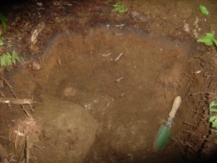
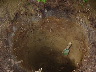
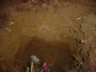
Living tree and sapling biomass (dry weight): 168.6 Mg/ha - 75.2.0 ton/acre Carbon stored in living trees and saplings: 84.3 Mg/ha WIL - Forest Floor and Soil:
| ||||||||||||||||||||||||||||||||||||||||