 |
Soil Carbon and Other Quality
Indicators in Managed Northern Forests | ||||||||||||||||||||||||
| Groton State Forest 1 site - map below GRO- Spruce Fir Forest Elevation: 424 m - 1,391 ft Average aspect: 245° (SW) Average slope: 3° 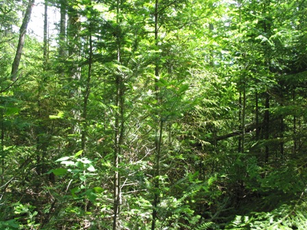 | |||||||||||||||||||||||||
GRO - Aboveground
Biomass: Average Tree Height: 11.24 m - 36.9 ft Percent of total basal area
occupied by each tree species:
Living tree and sapling biomass (dry weight): 128.8 Mg/ha - 57.4 ton/acre Carbon stored in living trees and saplings: 64.4 Mg/ha GRO- Forest
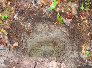
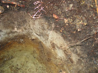
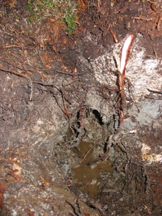
Floor
and Soil:
|
|||||||||||||||||||||||||
Site
Map: 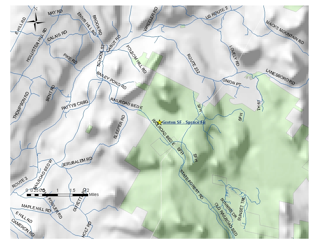 | |||||||||||||||||||||||||
| Home
Page
| Contact Us
| Summary of Results |
Methods ATLAS Land | Coolidge SF | Emerald Lake SP | Green Mountain NF | Groton SF | Hinesburg TF Jericho RF | Marsh-Billings-Rockefeller NP | Starksboro TF | Steam Mill Brook WMA Sterling TF | The Waterworks Property | Willoughby SF | |||||||||||||||||||||||||