 |
Soil Carbon and Other Quality
Indicators in Managed Northern Forests | |||||||||||||||||||||||||||||||||||||
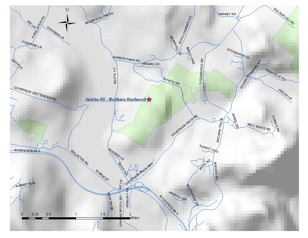
| Jericho
Research Forest 1 site - map below JER (JRF)- Northern Hardwood Forest Elevation: 154 m - 505 ft Average aspect: 269° (SW) Average slope: 18° 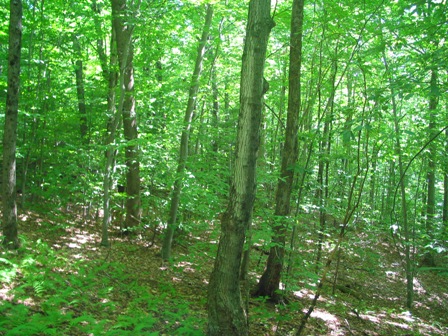 Site History:
The site is located in compartment 1. The land that is now Jericho
Research Forest was used for agriculture from 1790-1939 and was used
for orchards, crop fields, and pastures. Loss of soil fertility led to
the land being abandoned for agriculture. Reforestation started when
the University of Vermont bought the land from the City of Burlington
in 1941.
JER (JRF) - Aboveground Biomass: Average Tree Height: 15.49 m - 50.8 ft Percent of total basal area
occupied by each tree species:
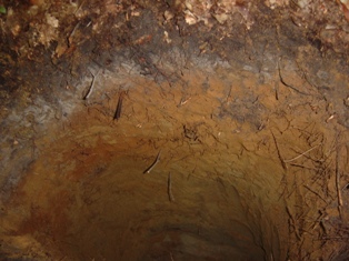
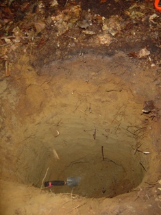
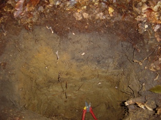
Living tree and sapling biomass (dry weight): 255.6 Mg/ha - 114.0 ton/acre Carbon stored in living trees and saplings: 127.8 Mg/ha JER (JRF)- Forest Floor and Soil:
Site Map: |
||||||||||||||||||||||||||||||||||||||
 | ||||||||||||||||||||||||||||||||||||||