 |
Soil Carbon and Other Quality
Indicators in Managed Northern Forests | ||||||||||||||||||||
| National
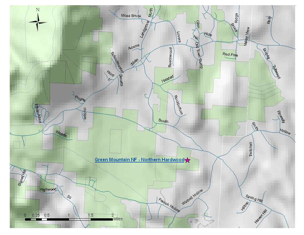
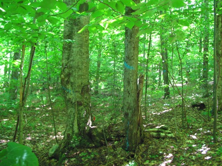
Forest - Stone Culvert Area 1 site - map below Elevation: 493 m - 1,617 ft Average aspect: 50° (NE) Average slope: 14° |
|||||||||||||||||||||
| NFS - Northern Hardwood Forest | |||||||||||||||||||||
 |
|||||||||||||||||||||
| Site History:
This site is part of Stand 20. A reference from 1992 indicates that the
site has been "thinned recently", which probably refers to 1978 when a
firewood sale was offered. No harvest activity has occurred in
stand 20 in the past two decades. The site is scheduled to be harvested
shortly after our sampling. Remnant stone walls indicate that Stand 20
was part of a farm in the recent past. Stand Age: 90 years | |||||||||||||||||||||
| NFS - Aboveground
Biomass: Average Tree Height: 13.68 m - 44.9 ft |
|||||||||||||||||||||
Percent of total basal area
occupied by each tree species:
|
|||||||||||||||||||||
| Living tree and sapling
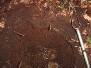
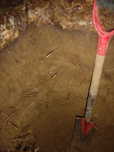
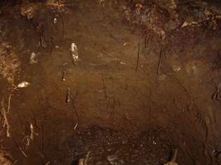
biomass (dry weight): 235.6 Mg/ha - 105.1 ton/acre Carbon stored in living trees and saplings: 117.8 Mg/ha NFS- Forest Floor and Soil: | |||||||||||||||||||||
| |||||||||||||||||||||
|