 |
Soil Carbon and Other Quality
Indicators in Managed Northern Forests | |||||||||||||||||||||||
|
The
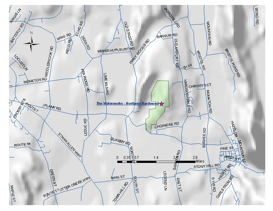
Waterworks Property 1 site - map below Elevation: 237 m - 778 ft Average aspect: 279° (W) Average slope: 18° |
||||||||||||||||||||||||
| WAT - Northern Hardwood Forest | ||||||||||||||||||||||||
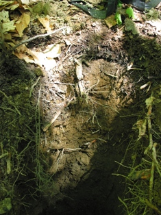
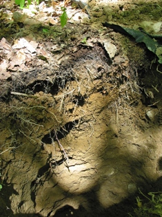
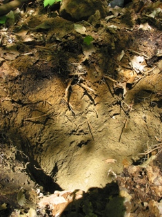
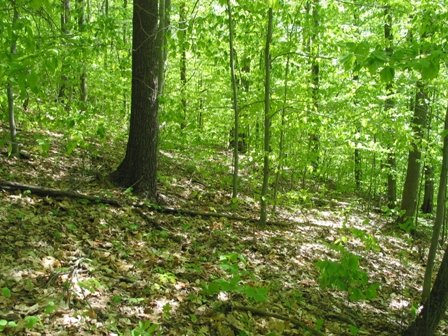 Site History: The Waterworks has a relatively long history of public access. In the 1900s farming was the principal land use, as indicated by stone walls and barbed wire. In the early 1930s the City of Vergennes purchased most of the Watershed land to use as the city watershed. The dam was built in 1935 and used until 1972, subsequently, the forest was managed as a municipal forest. The site, located in Stand 1, is expected to be converted to firewood production. A majority of the stand is classified mesic to xeric. |
||||||||||||||||||||||||
| WAT - Aboveground
Biomass: Average Tree Height: 17.7 m - 58.1 ft |
||||||||||||||||||||||||
Percent of total basal area occupied by each tree species:
|
||||||||||||||||||||||||
| ||||||||||||||||||||||||