Mountain snow in the Northeast is different. The region’s milder, more humid mountain climate shapes winter conditions that are different from those of the Western United States. Yet, snow models don’t always capture those differences.
In a new study published in the journal Water Resources Research, a team led by the University of Vermont (UVM) has improved a snow model to better represent conditions in the Northeast – using it to explore how snowpack and runoff may respond to changing temperature and precipitation.
The snowpack is an important water resource for northeastern ecosystems and communities. As winters continue to become warmer and wetter, it’s important to understand how snow responds to terrain, weather, and climate.
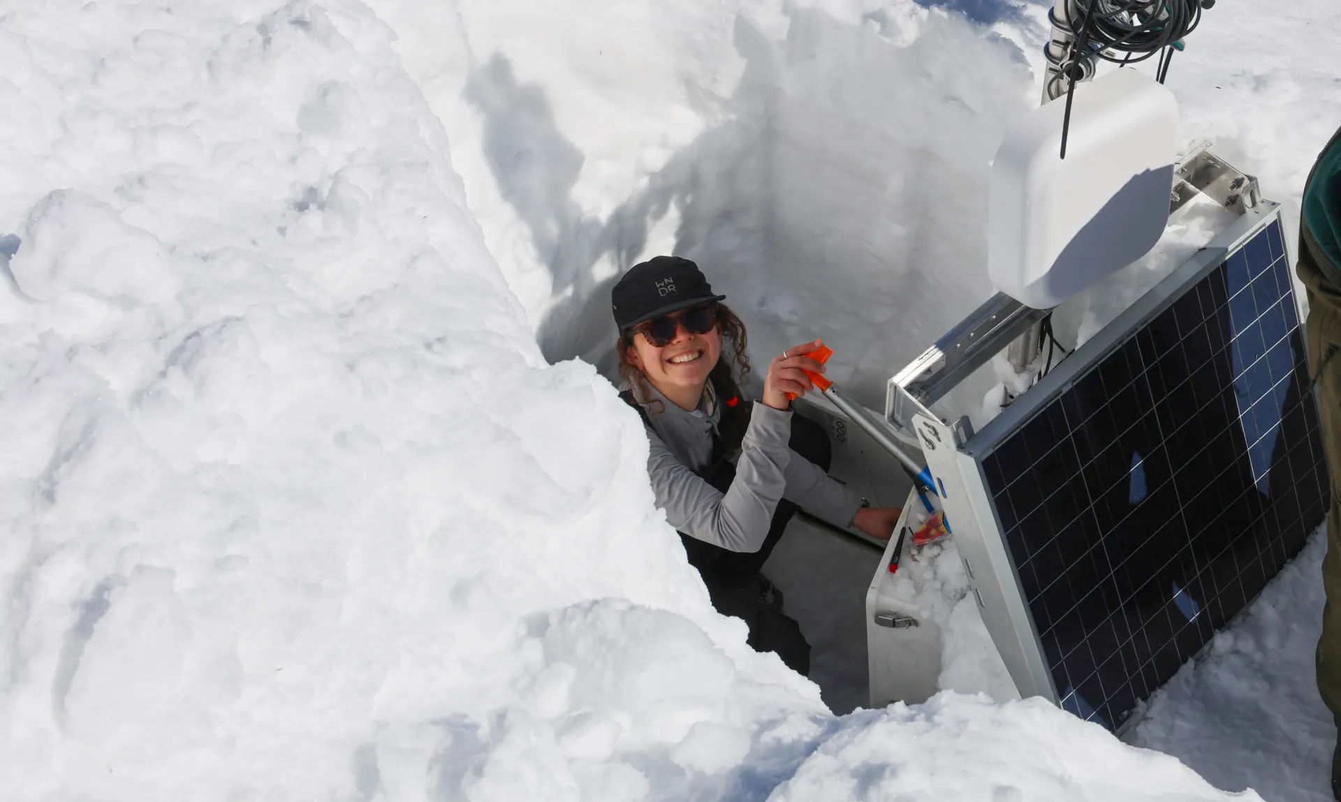
"This study is an important step towards an improved understanding of highly vulnerable snowpacks in the face of climatic changes,” explains Anna Grunes, the study’s lead author and an M.S. graduate in UVM’s Civil and Environmental Engineering Department. “With changes to winters that we are seeing all too fast, the Green Mountains of Vermont offer a valuable laboratory to study this. I'm excited to see how continued work with further monitoring infrastructure will support future snow hydrology research in this region.”
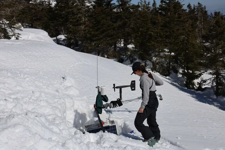
Many of the Northeast mountains are situated at intermediate elevations (between 1000-2000 meters), where snowpacks are dominated by melt-freeze cycles, high-density snow, and midwinter thaws. Snow often accumulates and melts more than once per winter, causing flooding and rain-on-snow events.
However, accurately modeling snowpack dynamics is particularly challenging in these warm, wet, lower-elevation environments, as near-freezing temperatures create uncertainty.
Now, a team of researchers from UVM, the U.S. Geological Survey (USGS), and the University of British Columbia, has applied a physics-based model to improve representation of midwinter runoff and better inform flood analysis in the region.
While these models have been widely tested and implemented in the western US, few studies have tested the physics-based approach in the Northeast.
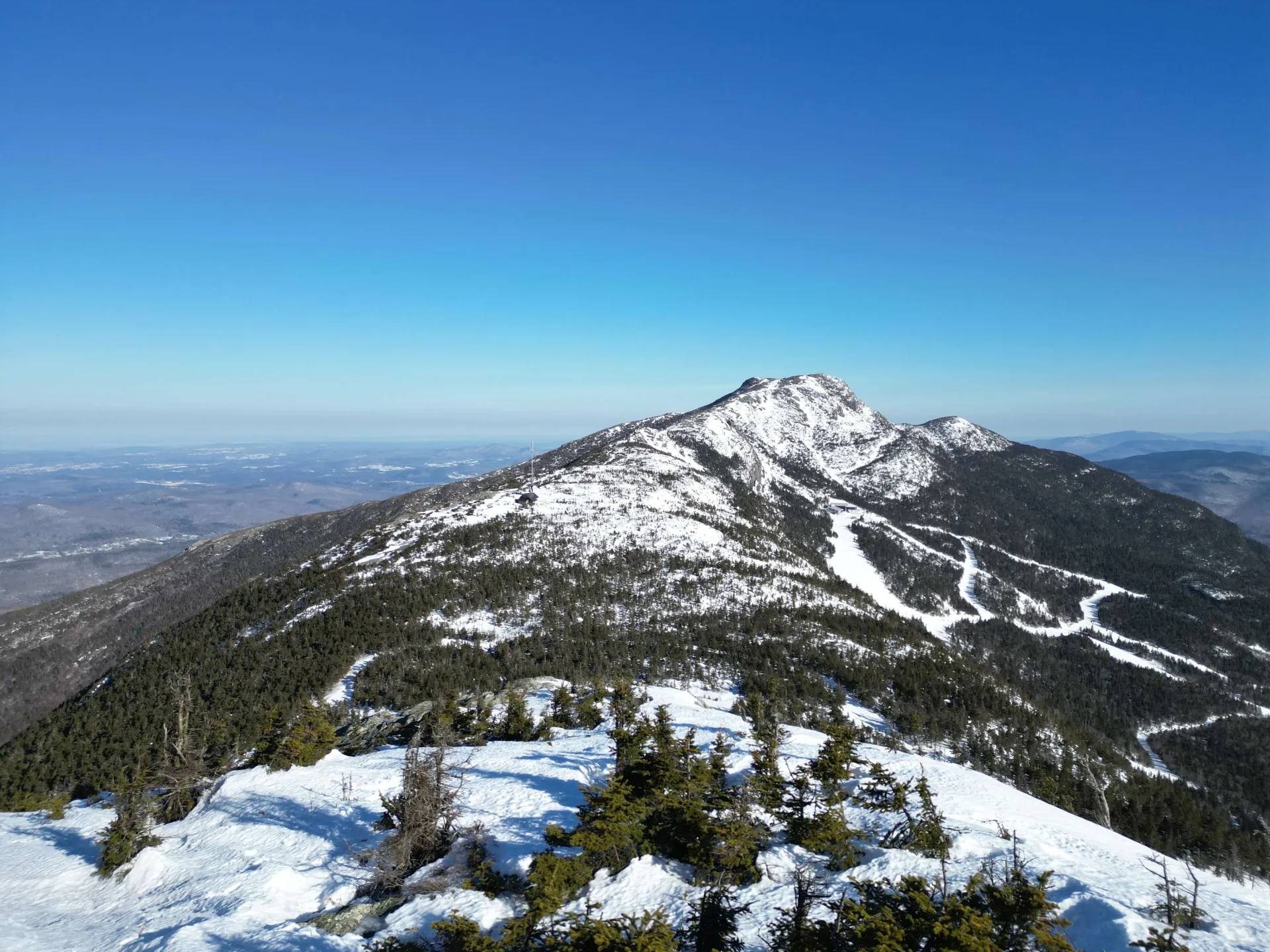
The study focused on Mount Mansfield, the highest peak in Vermont’s Green Mountain range. The domain extended into the Ranch Brook watershed on the eastern slope of Mount Mansfield, the location of long-term hydrological monitoring and a tributary of the Winooski River that drains into Lake Champlain.
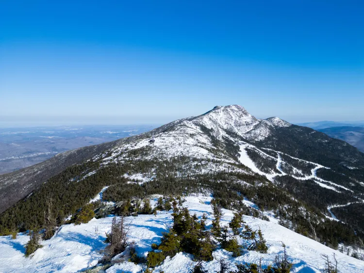
Across this domain, with elevations spanning from 200–1300-meters, the researchers analyzed snowpack and hydrological sensitivity to simulated changes in temperature and precipitation changes.
They discovered that the snowpack is highly sensitive – most notably at middle elevations (700-900 meters). This elevation band often coincides with the rain-snow line and near freezing temperatures, where a temperature shift of +1.1°C can cause a full phase shift from snow to rain, furthering snowmelt.
The team found that the physics-based snow model approach more accurately simulated observations of snow water equivalent (SWE), snow depth, snowpack density, and snowmelt-derived runoff. This approach allows researchers to analyze how future changes may affect the at-risk snowpack and hydrological systems in the region.
“Winter snowfall is vital to the Vermont tourism industry, but the snow season is vulnerable to a fast-changing climate,” says Dr. Jamie Shanley, research hydrologist (emeritus) for the USGS New England Water Science Center. “This study advances our basic understanding of how the snowpack responds to these changes in the Green Mountains and beyond.”
The research team also included Dr. Arne Bomblies, Dr. Donna Rizzo, and Dr. Patrick Clemins in UVM’s College of Engineering and Mathematical Sciences, Dr. Beverley Wemple in UVM’s College of Arts & Sciences, Dr. John Hammond with the USGS, and UVM alumnus Dr. Graham Sexstone, now a research scientist with the USGS.
Understanding how winters in the region respond to a changing climate can help improve snowmelt-driven flood modeling and forecasting, as well as support communities and ecosystems as winter conditions continue to change across the Northeast.
The project was supported by funds from the US Army Corps of Engineers Cold Regions Research and Engineering Lab (CRREL) and the Cooperative Institute for Research to Operations in Hydrology (CIROH).