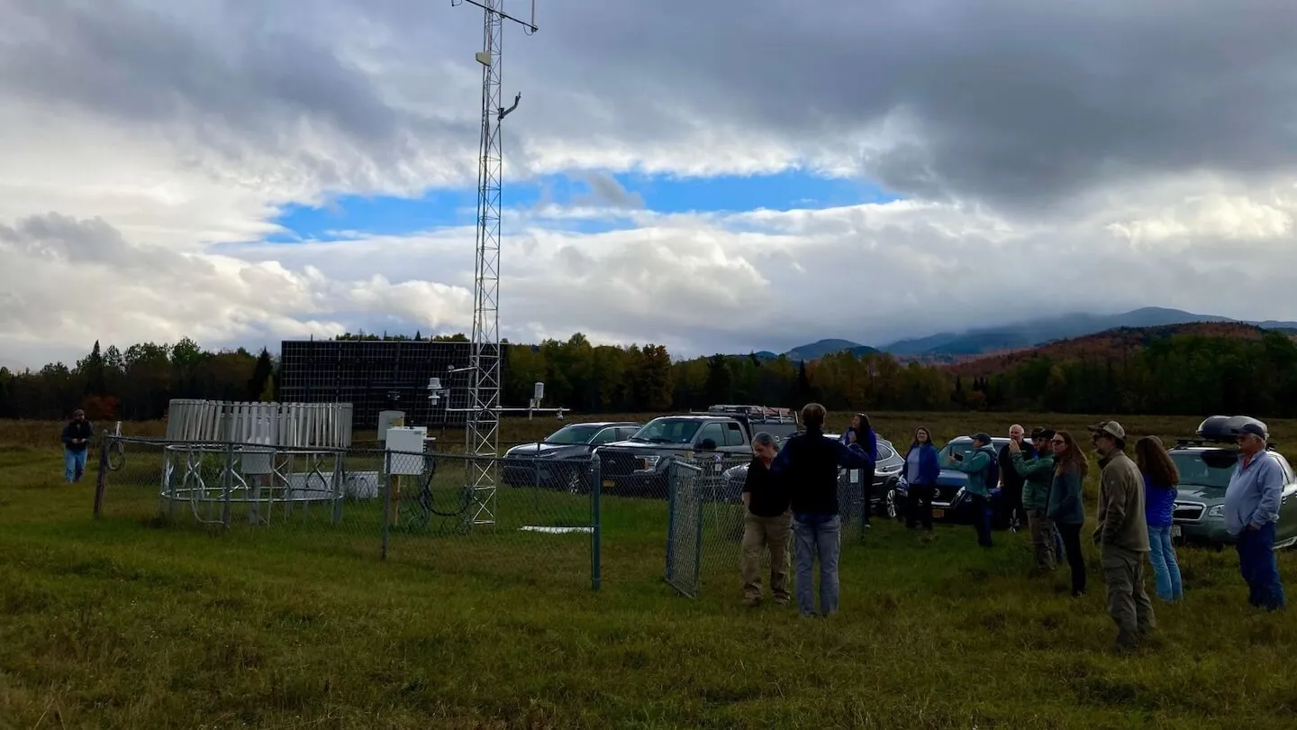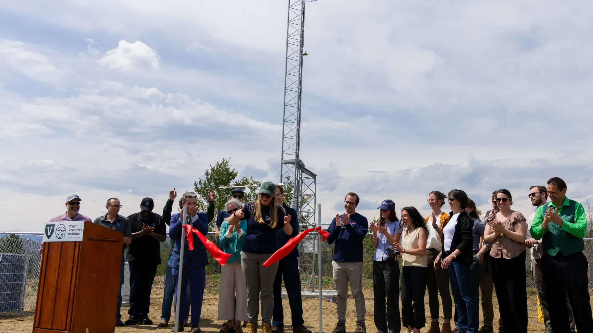
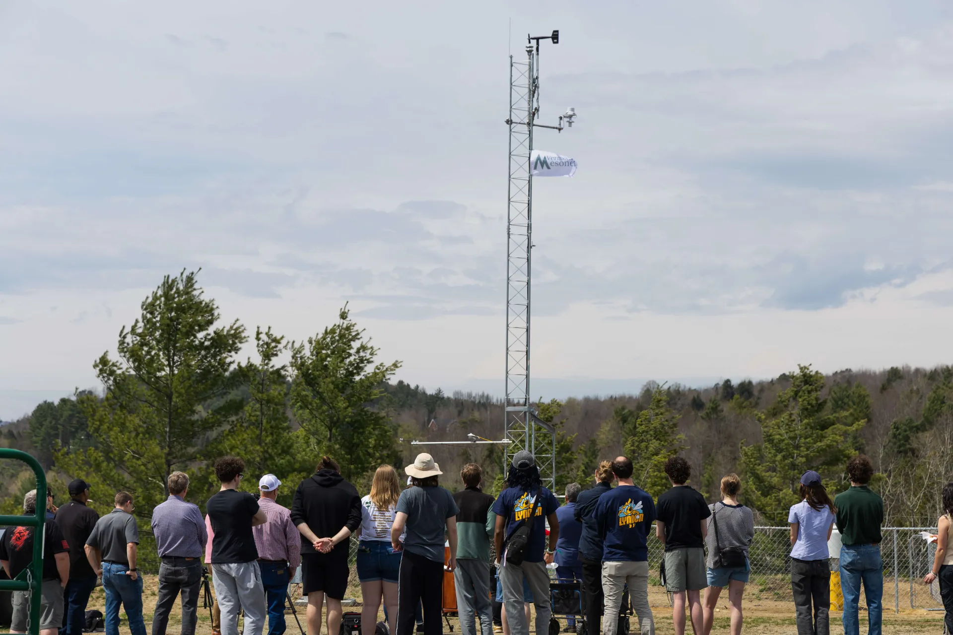
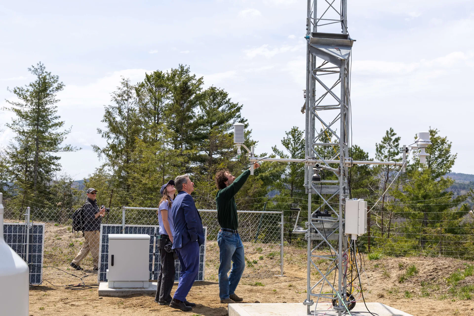
The University of Vermont officially opened the first weather station in the Vermont Mesonet—a planned statewide network of automated weather stations— that will monitor and report real-time data to improve extreme weather preparedness, agricultural planning, and critical research in the Green Mountain State.
“At the University of Vermont, we are committed to researching what matters—addressing the most urgent challenges facing our state and our planet.” said Kirk Dombrowski, UVM’s Vice President for Research and Economic Development. “The devastating flooding events we have recently experienced underscores the need for localized, actionable data to protect our rural communities and our economy. The Vermont Mesonet represents the land-grant mission in its most modern form: leveraging high-impact monitoring and research to build a more resilient future for all Vermonters.”
Led by UVM’s Water Resources Institute, with partners including Vermont State University’s Lyndon Meteorological Program, the Vermont Mesonet aims to reduce significant gaps in the state’s meteorological, river forecasting, and flood warning capabilities. Radars in Chittenden County, for example, are blocked by mountains and do not reach certain rural areas in the state. This can leave forecasters “in the dark” when making some forecasts and supporting flood response efforts.
"Vermont is currently one of only twelve states without a statewide mesonet network," said Joshua Benes, UVM Water Resources Institute’s Associate Director of Research Facilities and Networks. "Just like similar mesonet networks run by universities nationwide, the Vermont Mesonet will send real-time data to the National Weather Service and emergency managers. Given how much Vermonters have dealt with flooding lately, and how critical farming is to the state, this network will fill a major gap by providing the precise, local data needed to protect both.”
With feedback from the National Weather Service, State of Vermont Emergency Management, VTrans, State of Vermont Dam Safety, and other partners, UVM’s Water Resources Institute determined the equipment needs for each station and how stations will be distributed across the state. While other automated weather stations exist in Vermont—focused on aviation or fire safety—UVM aims to develop the state’s first mesonet—a system of automated weather and environmental monitoring stations that observe localized, rapidly changing weather events, from thunderstorms to flooding.
Support for this first weather station came from the Leahy Institute for Rural Partnerships. UVM is now working to develop roughly 20 additional stations across Vermont to improve local flood prediction, support agricultural resilience and utility companies, and serve as a catalyst for research and education across the state.
“The Mesonet will provide real-time data while potentially significant storms are underway—and having a proper understanding of the conditions on the ground will improve the long-term forecasts,” said Gabriel Langbauer, National Weather Service’s Burlington Meteorologist-In-Charge. “Meteorologists can use the data to calibrate estimates coming in from our remote sensing equipment.”
Improved weather forecasting will help the state’s agricultural producers. “Farmers live by the weather—it drives nearly every decision they make. From harvesting hay and growing crops to protecting fruits and planning for a strong maple season, timing is everything,” said Anson Tebbetts, Vermont Secretary of Agriculture, at the event. “Access to real-time weather data gives our farmers a critical edge to better predict, prepare, and succeed.”
Learn more about the Vermont Mesonet here.