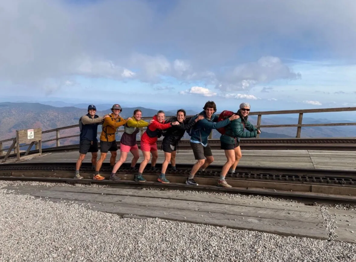
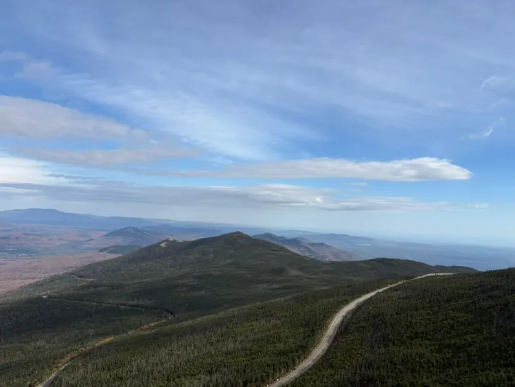
Reaching the summit of Mount Washington is a somewhat surreal experience. The highest peak in the Northeast greets you with crowds of people lined up to take a photograph at the summit. A coal-fired train unloads its passengers while a line of cars winds up the access road, a striking juxtaposition against the raw, high-alpine landscape of the 6,289-foot mountain summit.
My name is Emily Grunes, I am a fourth-year Environmental Engineering student and an intern with the Water Resource Institute. I am working on the Northeast Network of Mountain Observatories (NENMO) project, which aims to better standardize meteorological and hydrological monitoring in the high alpine regions of the Adirondacks, Vermont, and the White Mountains. The monitoring at each location varies slightly, with different focuses on data types and goals. My role in this project is to identify and consolidate the different stakeholders, data collection types, and methods at each location, and to develop an approach to better standardize hydrological monitoring across the different observatories. The first step in my project is to visit each site, see the instrumentation, and learn from the people who manage each site.
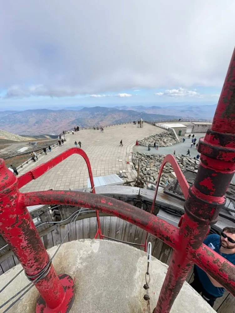
Halfway along the Presidential Traverse (a hiking trek over each of the Presidential peaks in the White Mountains), I reached my destination, the Mount Washington Observatory. This bunker-like building is home to one of the longest alpine climate records in North America, the highest recorded wind speed ever directly observed by humans, and a fluffy gray cat named Nimbus. I was greeted by Jay Broccolo, the Director of Weather Observation at the station, and a close partner of the UVM Water Resources Institute. Jay and I climbed two sets of spiral staircases and a climbing ladder to the top of the climate observatory tower, which looked beyond the crowds of people to a 360° view far into the New Hampshire mountains. He explained each of the highly accurate instruments, including a Pitot tube anemometer for high-speed wind measurements, multiple barometers for pressure, a visibility meter for cloud conditions, a Campbell-Stokes sunshine recorder, and a psychrometer for temperature and humidity.
Many of these analytes are manually recorded every hour of the day and night, even in the harshest weather, by a team of staff and volunteers. These manual data recordings have been ongoing since 1932. A filing cabinet in the observatory houses over a century’s worth of weather and climate data points. The Mount Washington Observatory focuses on climate and atmospheric sciences, with specific interest in extreme weather and climatic changes at high elevations. Jay explained that this type of data is crucial for many different stakeholders, including weather forecasters, climatologists, the defense force, and even insurance companies. In addition to the summit stations, Jay and his team also maintain a series of temperature, wind, and precipitation stations at different elevations descending into the valley of Mount Washington. There is, however, a large gap in surface hydrological monitoring across the White Mountains, with very few stream gauges and little water quality monitoring.
In Vermont, much of our research and hydrological monitoring focuses on water quality, stream flow, and precipitation to better monitor flooding and runoff events. The geography and bedrock of Vermont make our state great for agriculture, but particularly susceptible to large flooding events, as we know all too well. Jay and I discussed ways in which we can leverage current and new instrumentation in the White Mountains to collect a more diverse range of water quality and watershed flow data that can be used to expand and standardize our hydrological monitoring between regions. With only so much daylight in October, I said goodbye to Jay and Nimbus, found my friends, and continued to the remaining five peaks of the traverse.
***
Whiteface Mountain in New York rises just behind Mount Washington in elevation, reaching 4,867 feet at its summit. This striking, sharp-edged peak—visible across the lake from Burlington—hosts one of the most advanced atmospheric monitoring and research stations in the Northeast. Samantha “Sam” Koehler, the Senior Meteorological Technician at UVM’s Water Resources Institute, is spearheading the development of Vermont’s own Mesonet system. Just a week after my trip to Mount Washington, under the glow of the October Harvest Supermoon, Sam and I loaded the bed of our truck with five tons of equipment and drove across the lake toward the Adirondacks.
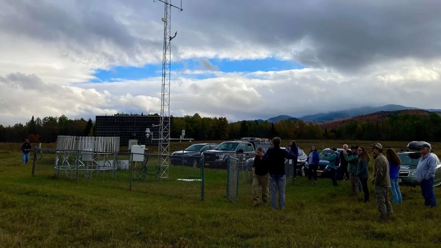
We met Scott McKim, Science Manager at the Atmospheric Sciences Research Center. A 1950s Adirondack-style log cabin, once the original Whiteface Ski Mountain lodge—is now the main office of the research center. Birdie, a black lab with a wagging tail, came running out to greet us, followed by Paul Casson, the site operations manager. Scott is well-known in the weather monitoring world for his profound expertise and unconventional, adventurous methods of accessing his stations. Legend has it that in the depths of winter, Scott would ski to his remote sites before sunrise; his young daughter bundled in a backpack on his shoulders.
With Birdie trailing close behind, Scott gave us a tour of the state-of-the-art monitoring instrumentation recording meteorological elements such as temperature, humidity, wind speed, precipitation, solar radiation, and atmospheric pressure. The station also houses more unique devices measuring snow depth and water equivalent, as well as ones that measure water and air quality and the chemical composition of the atmosphere. His instrumentation and codes act as a model for our Vermont Summit to Shore project field stations on Mount Mansfield. When we met Scott, he was in the middle of digging out a 10-by-10-foot area to be the home of a new snow pillow—or snow scale—to measure the snow water equivalent of the snowpack, that was generously gifted by the Lintilhac Foundation through UVM to support hydrological research across the Lake Champlain Basin. The same snow pillow device on Mount Mansfield will be implemented early next year.

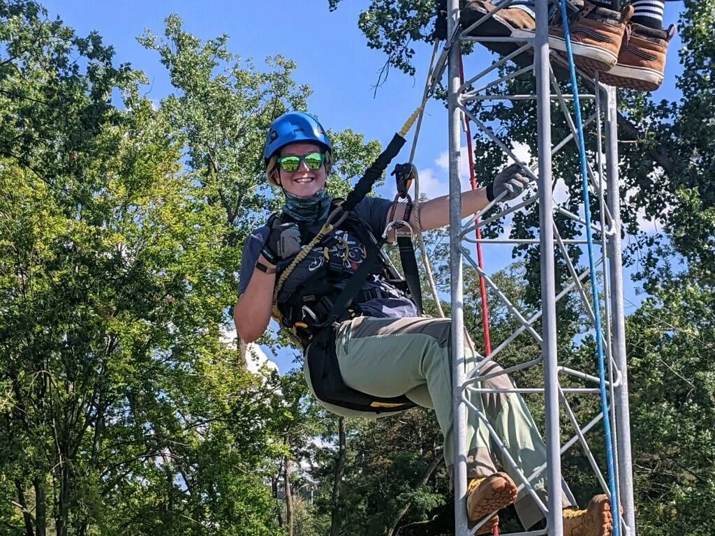
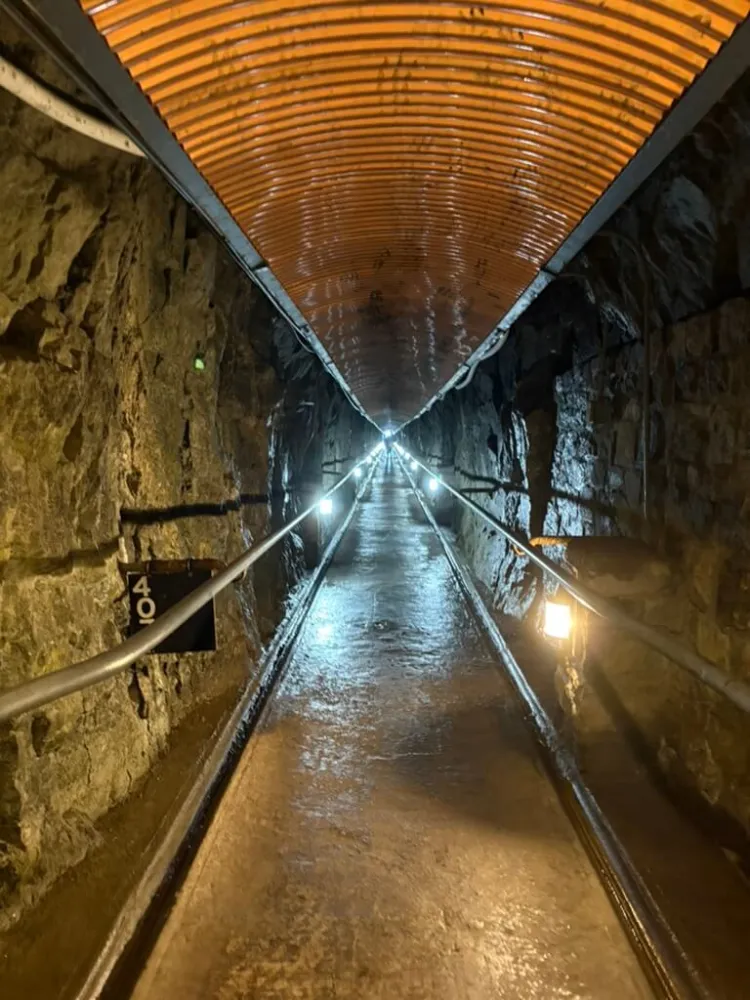
Following our brief meeting, Sam and I got back into the truck and headed up toward the Whiteface Mountain access road. There could not have been a more perfect day to see the summit. With not a cloud in the sky and peak fall foliage surrounding us, we drove the winding road up the mountain. There is an interesting history behind the Whiteface Mountain summit station. The field station was established in 1961 by the Atmospheric Sciences Research Center as a major center for atmospheric and environmental research. A fort-like stone structure at the top of the access road was developed by Franklin D. Roosevelt in the 1930s to accommodate visitors. Arriving at the top of the access road, you walk through a long stone tunnel to the base of an elevator that climbs 27 stories underground to the mountain summit. This wheelchair-accessible access to the summit allowed FDR to visit. From the elevator, Sam and I could see the 27 flights of dark stairs that, when the elevator shuts down in winter, Scott must climb by foot to reach the station.
Once at the top, Sam and I had special access to climb the tower ladder to the top of the observation deck, where we peeked our heads out over the stunning bright autumn colors of the Adirondacks. The research and instrumentation here focus more on-air quality monitoring and atmospheric conditions related to weather and climate, a very different focus than Mount Washington and our Mount Mansfield stations, but home to some incredible devices capable of understanding vital changes in air quality and atmospheric conditions. This is another avenue that our Vermont stations may one day measure as well.
Across New York, Vermont, and New Hampshire, an incredible range of research and monitoring efforts are underway. Together, we aim to build a unified and resilient data system that fosters collaboration across disciplines, advancing our understanding of water, climate, and pollution in pursuit of education and a more resilient future.