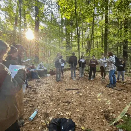
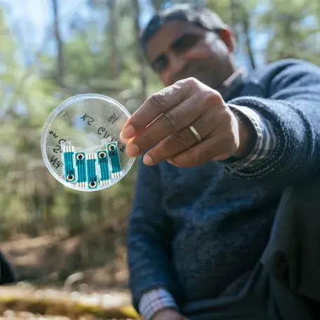
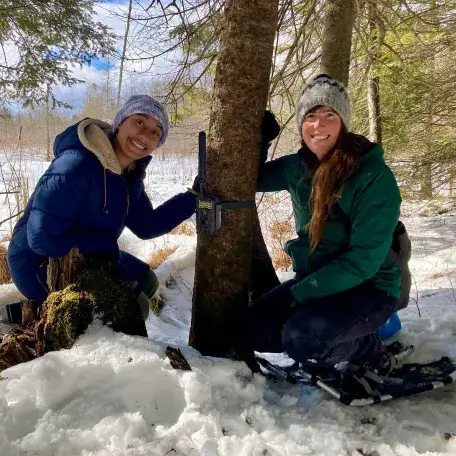
This diversity, combined with proximity to campus, provides educational opportunities for students and researchers of ecology, zoology, botany, natural resource management, geology, climate science, forestry, parks and recreation, wildlife management and other disciplines.
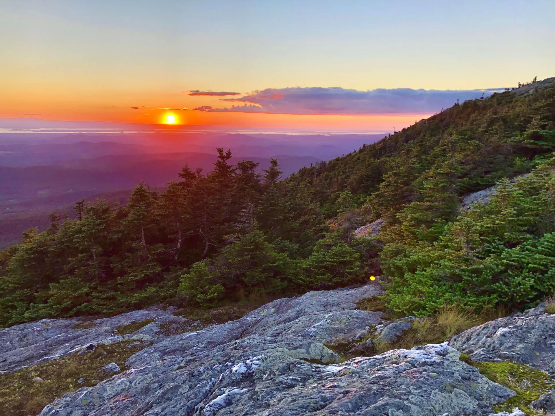
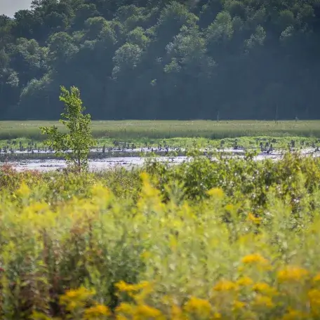
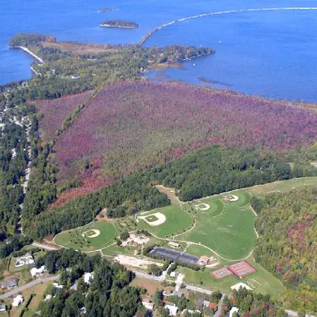
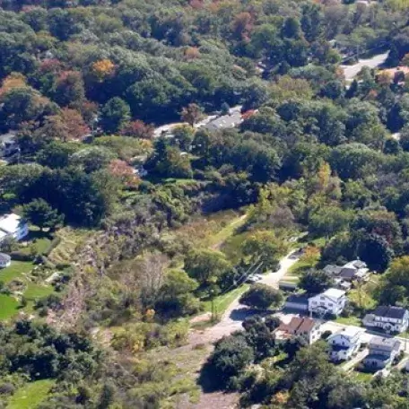
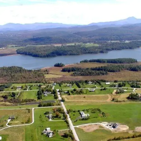
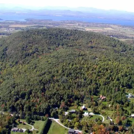
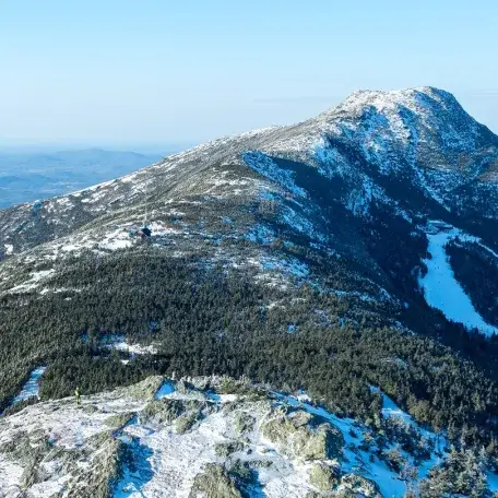
These properties include over 2,400 acres of forest, montane, wetland, and stream habitat including over 40 natural communities, and over 15 miles of trails for public access. The conservation mission of these lands has remained constant since the designation of the UVM Natural Areas System in 1974, “to be preserved to the greatest extent possible in their natural state, and for educational and scientific purposes.” These conservation lands have benefited tens of thousands of UVM students through classes and experiential learning. Many more research and educational opportunities await.
Visit Our Natural Areas
Public Use
Public access is permitted in the Natural Areas for hiking, snow shoeing, cross-country skiing, bird watching, educational purposes, and enjoyment. Hunting is permitted in some of the Natural Area and is subject to the following Hunting Policy. To help protect the ecological value of the natural areas the following activities are not permitted: biking, camping, fires, dumping or disposal of any material, and motorized vehicles. Dogs are allowed on leashes within the Natural Areas. East Woods Natural Area allows dogs off leash but only when kept under strict voice command. Please do not let your dog approach other visitors uninvited. Please do not let your dog harass wildlife.
Celebrate UVM's Natural Areas
UVM Natural Areas 50th Anniversary Symposium was held in November 2024. UVM faculty and historians recounted how the Natural Areas came to be and how they benefit students and the community today.
Watch The Symposium Stay Current - Upcoming Public Events Will Be Posted on Instagram