Williston
Early Settlement
During the 18th century, the Williston landscape changed dramatically. The forests were rapidly cleared for agriculture. By the late 1700s, signs of industry began to appear in the Town’s tax records and the landscape was dotted with numerous subsistence farms. The more affluent farms, as well as much of the town’s early economic activities, occurred in northern part of Town. Its close proximity to the Winooski River and its productive
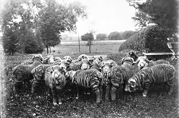
Historic merino sheep photograph courtesy of the Vermont Historical Society - click to view larger image
Many of the differences between the northern and southern parts of town in the cultural landscape are related to glacial history and the physical landscape (see physical landscape section for description).
30’ x 40’ barn along Oak Hill Road in Williston. This style was used in the early 1800s to house up to ten cattle, and store hay and other supplies. click to view larger image
The railroad was built following the course of the Winooski River, which had long been an important travel corridor for people, as well as wildlife.
The railroad spurred the rise of the village of North Williston where the train station, the gristmill, and many important businesses were located. The sheep craze came to a halt and diversified farming declined during this time period when more productive lands became available elsewhere in places like the newly accessible Midwest. This marked the beginning of Williston’s
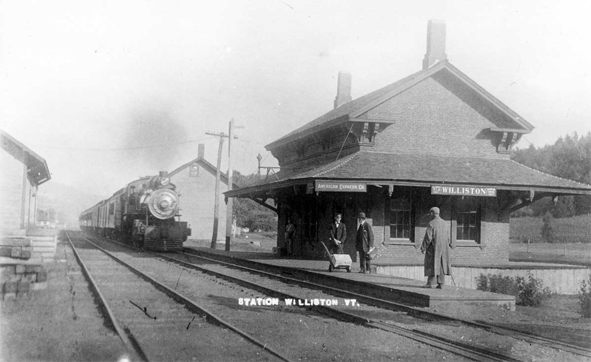
Photograph of the train station in North Williston taken sometime between 1907 and 1915. click to view larger image
In the late 1800s, Vermont experienced a statewide population decline. The railroad had made land out west available and many small farms were no longer economically viable and were subsequently abandoned. In the early 1900s, the dairy era continued, but fluid milk replaced butter and cheese as a principal product. Gambrel-roofed barns and silos that have come to be identified as quintessentially Vermont were built to house and feed much larger herds of cattle. During this era, much land that had previously been cleared for agriculture became re-forested.
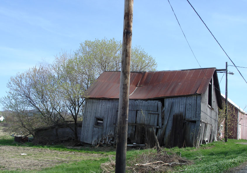
 This bank barn on Oak Hill Road was used to house and feed more than ten cattle in the first part of the dairy era in the late 1800s and early 1900s. click to view larger image
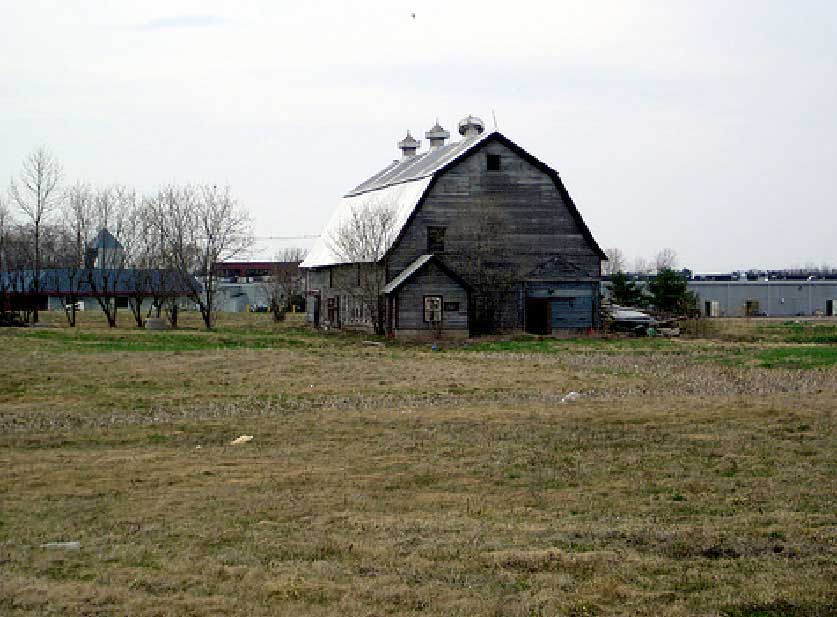 This is a gambrel-roofed barn located near Taft Corners. Gambrel-roofed barns were built in the early 1900s to house and feed many cattle when dairy farmers began producing fluid milk.
click to view larger image
This is a gambrel-roofed barn located near Taft Corners. Gambrel-roofed barns were built in the early 1900s to house and feed many cattle when dairy farmers began producing fluid milk.
click to view larger imageToday Williston’s cultural landscape is in the midst rapid change. The Taft Corners area has become one of Vermont’s most economically active areas and numerous modern sub-divisions have sprung up nearby. Although many people identify present-day Williston by these developments, most of the Town remains rural. Williston’s Comprehensive Plan of 2006 demonstrates the town’s desire to balance its future sub-urban development with its rural character.