The SAL helps clients deliver their GIS and UAS needs by working in close collaboration with them throughout each project timeline. The team consists of professional GIS specialists, UAS pilots, and student employees who deliver high-quality data in a time-efficient and cost-effective manner.
By initiating a project with the SAL, you will receive an excellent data product for the project, a strong financial return, and the opportunity to invest in the future of the GIS workforce as your project provides experiential learning opportunities across UVM. If you have a project requiring the SAL's unique set of skills, contact the business team to discuss an engagement. Email Paige.Brochu@uvm.edu
Services
Data Analysis
Body
- Landcover Mapping
- Tree Canopy Assessments
- Water Resource Data
- Volume Estimation
- Solar PV Panel Defect Inspection-O and M Construction Data
- Construction Monitoring
- Wetland Monitoring
- Public Land Data and Analysis
- Natural Resources
- Forestry
- Agriculture
- Transportation
- Land Cover Mapping
- Habitat Modeling
- Biodiversity Assessment
- Conservation Planning
UAS
Body
- High-Resolution Photogrammetric Imagery (True-Color and Multispectral)
- LiDAR for 3D Modeling and Terrain Mapping
- Volume Estimation
- Infrastructure Inspection
- Thermal Hotspot Detection
- Aerial Photo and Video capture
- Situational Awareness / Search and Rescue
- Additional applications in environmental monitoring, forestry, agriculture, water resources, land management, transportation, construction, disaster response, emergency management, and more
Training
Body
- Professional Training in UAS and GIS
- UAS Educational Outreach: Summer educational programs for middle and high school age groups focused on UAS flight operations and mapping. Regular guest speaker at local middle school, high school, and college level courses.
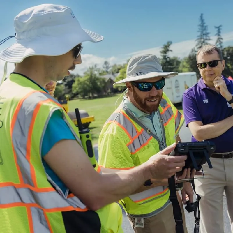
UAS Services
Contact our UAS Team Lead Adam Zylka via the email below for UAS-related services.
Email uas@uvm.eduContact Us

Director, Spatial Analysis Laboratory • Research Assistant Professor • Affiliate, Gund Institute for Environment
pbrochu@uvm.edu