Businesses and researchers have increasingly used computer systems to work with geographic data over the past decade. Students may not know much about it, but the Spatial Analysis Laboratory at UVM is a leader in this trend.
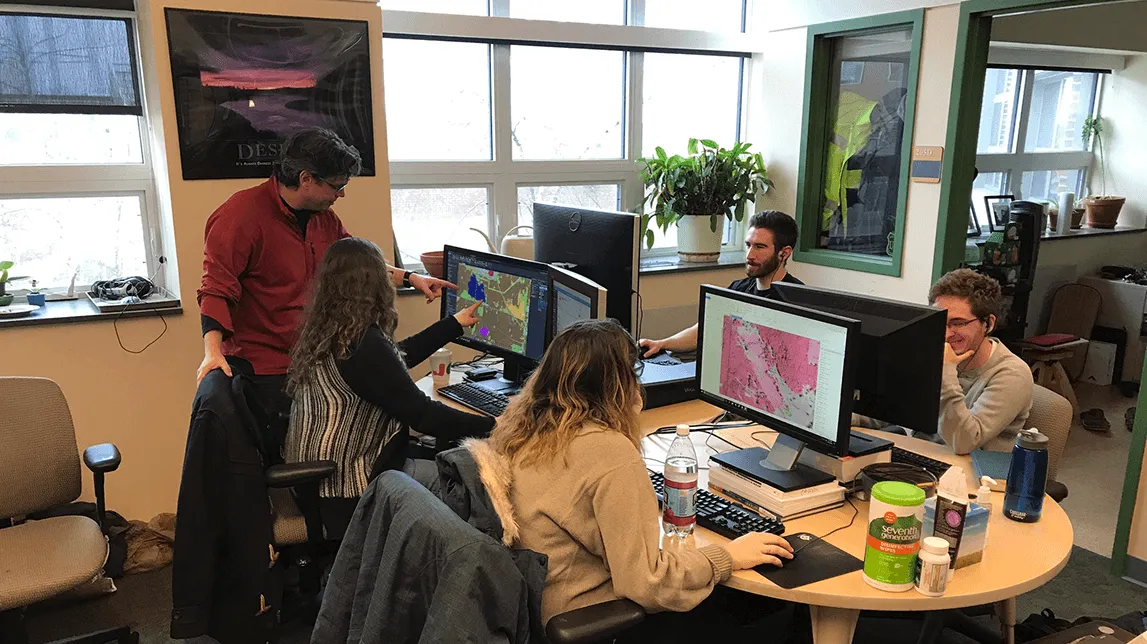
Much of the work done by the Spatial Analysis Laboratory is done for different organizations around the country. The lab team applies innovative techniques in geographic information systems, remote sensing, and spatial statistics to give insight to local officials.
This work includes land cover mapping, conserved lands planning and transportation analysis. Local officials can then use this collected and refined data to inform decisions about future developments, within land conservation, agricultural and infrastructure planning.
The lab trains analysts, many of whom are students, like senior Jason Drebber.
“We take data from different areas of the country,” said Drebber, who among other things is working on a project near Smugglers Notch. “It's mostly stakeholders from cities or towns that are interested in understanding more about the area that they're managing. And we process land cover data for them and produce metrics that will tell them, like, the amount of tree canopy that they have or the percent of impervious surfaces that are in their town or their area.”
Some of Drebber’s work involves correcting and managing that data, much of which is initially produced through automated computer programs. Those programs don’t always produce perfect results, he said, and that’s where he comes in.
Drebber explained that much of his work entails this type of data management, along with collecting aerial drone imagery. For many this might seem extremely dry and tedious, but not for Drebber. He enjoys getting to make sure measurements are correct and accurate.
Aside from managing and processing data for different groups, the lab also has certified FAA drone pilots and multiple small, unoccupied aircraft to collect aerial imagery and LiDAR data — a method that uses light in the form of a pulsed laser to measure ranges from Earth. It’s pretty much radar, but with light.
“We're able to collect really, really high-resolution LiDAR, way higher resolution than satellite (imagery),” said Drebber.
Many of these data-collecting flights occur locally around the state, but some lab employees have traveled out of state to meet with stakeholders or collect data.
One project Drebber has been working on alongside Department of Geology professor Keith Klepeis is a LiDAR dataset from the Smugglers Notch area. The project comes in the wake of a summer 2020 rockslide that caused car-sized boulders to tumble down and block the famous Smugglers Notch Road.
The landslide has mobilized different departments in the state, specifically the state transportation department, and researchers set on helping them. Using this innovative technique of unoccupied drones, analysts can collect better, more efficient LiDAR data to further identify prone rock fractures within the notch. Unoccupied drones allow for this collection of data; it would be impossible to do with a small aircraft.
All that data gives researchers across disciplines a chance to analyze what’s going on geologically.
“And with that, we gave them this data set that they can use, that they're hopefully going to be able to identify specific fractures and look at areas that might be at risk of future rock falls,” Drebber said.