Viewing a version of dataset "Standardized Regional Aerial Detection Survey Disturbance Tabular Data"
Version name: 2025 Standardized Regional Aerial Detection Survey Disturbance Tabular Data Update 06/23/2026
This page provides information about a version of dataset "Standardized Regional Aerial Detection Survey Disturbance Tabular Data" that was created. This version information can be used to accurately cite the dataset at a particular point in time, and to define dynamic subsets of data as they were used in publications or reports.
This approach to creating versions is built upon the Dynamic Data Citation best practices recommendations of the Research Data Alliance
- Purpose
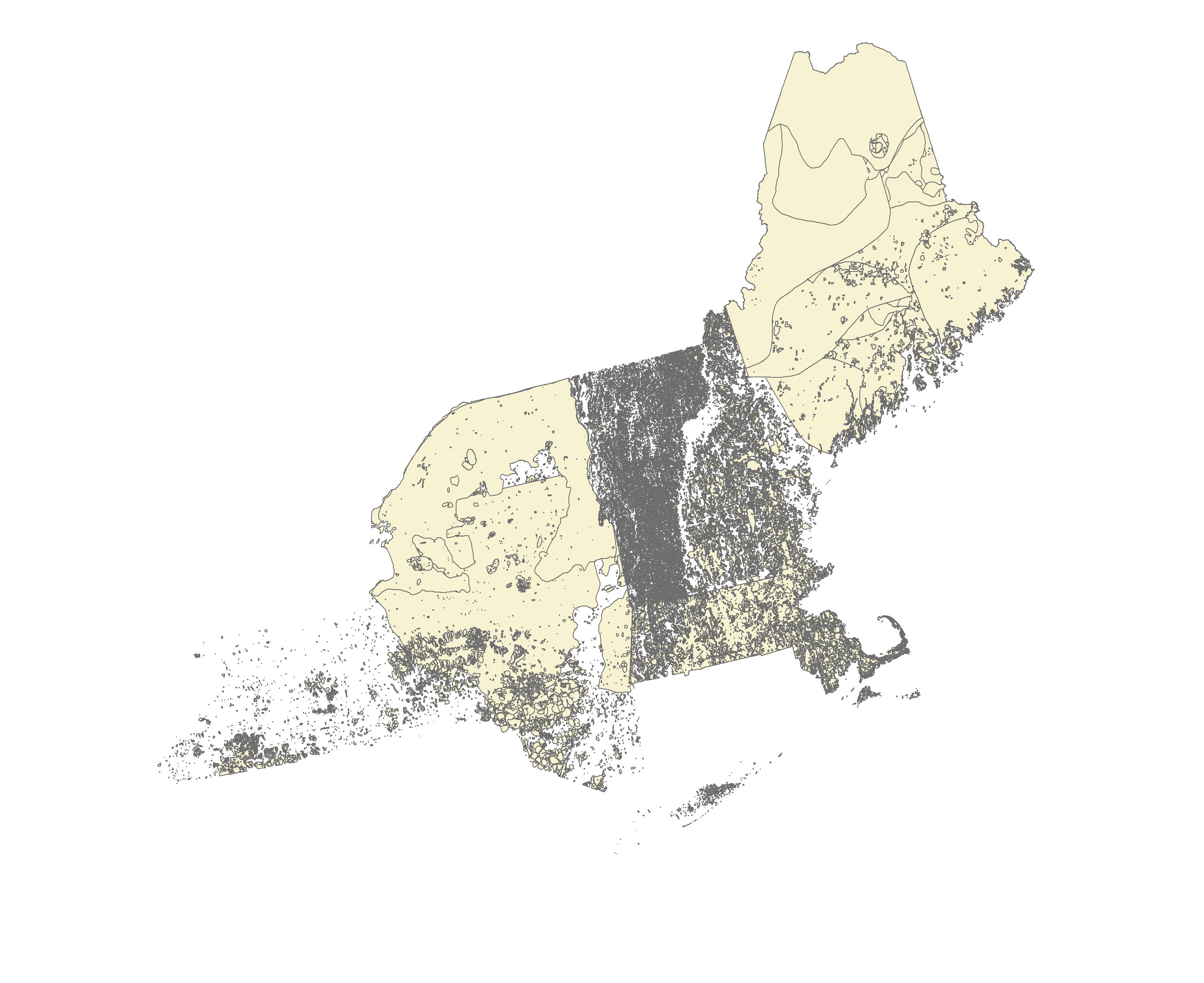
Monitoring forest health issues in the northeastern region.
- Version Name
- 2025 Standardized Regional Aerial Detection Survey Disturbance Tabular Data Update 06/23/2026
- Version Description
- 2025 Standardized Regional Aerial Detection Survey Disturbance Tabular Data Update 06/23/2026 Data type fix
- Version ID
- 19
- Version Type
- Edit
- Created Date
- 2026-06-23 14:34:21
- Creator
- Soren Donisvitch
- DOI
- No DOI Assigned
- Download
Available for download
- Data License

- Related Subsets
- Subset of Version 19 - Vermont 2025 Standardized Regional Aerial Detection Survey Disturbance Tabular Data Update 06/23/2026 (created 2026-06-23 by Soren Donisvitch)