Browse by Topic: Planning

Filter by subtopic. Click here to search all resources with more filters (e.g. production type, state, issue).

  • Planning, Adaptation Practices

    Adaptation Resources for Agriculture
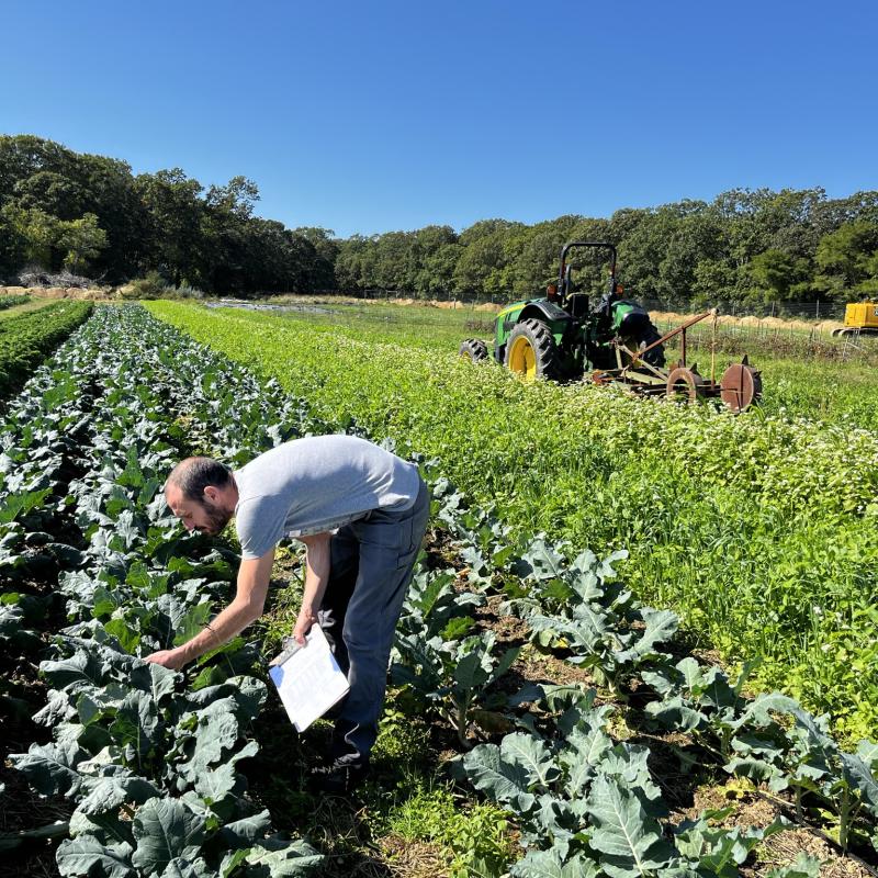
    November 21, 2019 • USDA

    This technical bulletin contains information and resources designed to help agricultural producers, service providers, and educators in the Midwest and Northeast regions of the United States integrate climate change considerations and action-oriented decisions into existing farm and conservation plans. An Adaptation Workbook provides producers a flexible, structured process to identify and assess climate change impacts, challenges, opportunities, and farm-level adaptation tactics and continuously evaluate adaptation actions for improving responses to extreme and uncertain conditions. A synthesis of Adaptation Strategies and Approaches serves as a “menu” of potential responses organized to provide a clear rationale for making decisions by connecting planned actions to broad adaptation concepts.

  • Planning

    AgBufferBuilder

    September 4, 2025 • USDA Forest Service

    A GIS-based computer program for precision design of vegetative filter strips around agricultural fields. The tool analyses the terrain for spatial patterns of overland runoff and designs a variable-width configuration that matches those patterns to provide a constant, user-selected, level of performance along the field margin. The tool also can assess the performance level of existing or hypothetical configurations.

  • Planning

    Agricultural Emissions by State

    September 4, 2025 • Climate Adaptation Fellowship

    Bar and pie-graphs representing GHG emissions by state, broken down by sector.

  • Planning

    AirNow

    September 4, 2025 • AirNow

    Air quality current and forecasted data by location. Also includes historical archives, fire information, and the option to sign up for alerts.

  • Planning

    Automated Access to Free NOAA Weather Data for Use in Ag Decision Models

    November 23, 2019 • USDA Northeast Climate Hub

    Participants will learn how to use available UNIX-based scripts to automate access to free weather data from NOAA/NWS databases, as well as examples of how such data can be translated into weather-based farm management decisions by automated analysis and export of presentation graphics through Microsoft Excel.

  • Planning

    CAMF Planning Tool

    September 4, 2025 • Climate Adaptation and Mitigation Fellowship

    The main questions this tool helps the user answer are: 1) What are the climate adaptation and/or mitigation strategies that might be most appropriate for my operation? 2) How should I make decisions about implementing these strategies? 3) How will I know if I have achieved success with a given strategy? This tool is designed as a template, or “open workbench” for the user to enter information based on their operation and goals. The tool is not a diagnostic tool and does not recommend specific solutions for a given climate related production issue. The tool can be used across any farming system and allows you to choose strategies based on your own ideas and research, reflecting the realities of your farm system, location, microclimate, local markets, or other relevant variables.

  • Adaptation Practices, Planning

    Climate Adaptation Resources for Northern New England Farmers

    February 26, 2024 • USDA, UVM Extension, and University of Maine

    The economic tools, visualizations, and resources on this website were designed with and for small, medium, and beginning farmers and ranchers in New England to help address their unique challenges in adapting to a changing climate. These resources are available for three agricultural practices - silvopasture, irrigation, and tarping - that were identified as areas of particular interest and need among New England farmers.

  • Planning

    Climate at a Glance

    September 4, 2025 • National Centers for Environmental Information and NOAA

    This tool provides near real-time analysis of monthly temperature and precipitation for the globe and is intended for the study of climate variability. Data is provided globally, by hemisphere, by regions, and by land and ocean surface components. The interactive mapping tool allows analysis of the spatial patterns of global and regional analysis. Recently, various parameters (e.g. heating/cooling degree days and drought indicators), expanded regional options (e.g. counties, river basins, agricultural belts, etc.) and new analyses (e.g. Haywood plots and climatological rankings) have been added to enhance and broaden the capabilities of this tool.

  • Planning

    Climate Reanalyzer

    September 4, 2025 • Climate Change Institute and University of Maine

    A platform for visualizing climate and weather forecast models. Site content is organized into three general categories: Weather Forecasts, Climate Charts, and Research Tools. Pages within the first two groups are the easiest to use and include maps, map animations, and interactive time series charts (with data export options). Research Tools include pages for generating custom maps, time series, and linear correlations from monthly climate reanalysis, gridded data, and climate models.

  • Planning

    Climate Smart Farming Tools

    September 4, 2025 • Cornell Climate Smart Farming Program

    An online toolkit is designed to help farmers from the Northeast US improve their productivity and resiliency in the face of a changing climate by using decision support tools for growing degree days, water deficits, and planting schedules.

  • Planning

    Climate Smart Farming Workbook: Adaptation Strategies for Farmers in the Northeastern U.S.

    September 4, 2025 • Elaina Alzaibak, Sarah Ficken, and Allison Chatrchyan • Cornell Climate Smart Farming Program

    A short guide to climate change, Climate Smart Farming, and potential climate adaptations along with worksheets to aid in assessment, selection, and implementation of strategies. By using this workbook, producers can expect to have a better understanding of vulnerable areas to climate change and strategies to mitigate those risks on their farm.

  • Planning, Adaptation Practices

    Cover Crop Decision Tool

    September 4, 2025 • Northeast Cover Crops Council

    Tools to explore cover crops in the Northeast, select species, calculate nitrogen credits, and more. Cover crop selector tool gives recommendations based on your specific site and soil conditions. Website also includes further cover crop resources.

  • Planning, Adaptation Practices

    Cover Crop Nitrogen Calculator

    September 4, 2025 • Precision Sustainable Agriculture

    This calculator aids farmers with decision support regarding cover crop residue persistence, as well as the amount and timing of nitrogen availability.

  • Planning, Adaptation Practices

    Crop Rotation on Organic Farms: A Planning Manuel

    September 4, 2025 • SARE

    The purpose of this book is to help growers and farm advisors understand the management of crop rotations; avoid crop rotation problems; and use crop rotation to build better soil, control pests, and develop profitable farms that support satisfied families.

  • Planning

    Farm Emergency Planning

    September 11, 2025 • Megan Megrath • Massachusetts Department of Agricultural Resources

    A template for creating a farm emergency plan. Includes emergency contact info, farm maps, animal census, biosecurity assessment, generator information, and overall emergency plan.

  • Funding, Planning

    Farm First: Resources & Support for Farmers

    September 4, 2025 • State of Vermont

    A free and confidential service for Vermont farmers and their family members, providing help with personal or work-related issues that cause stress. We will connect you to resources that can help your farm to thrive, and to counselors and other folks in your farming community who can help you find tools to deal with the uncertainty and frustrations that are a part of farming. State of Vermont website also includes links to Agricultural Development, the Dairy Business Innovation Center (DBIC), and much more.

  • Planning

    FARMDATA Web-Based Organic Vegetable Farm Data Entry and Reporting

    September 4, 2025 • SARE

    An online recordkeeping system designed especially for organic vegetable producers that allows users to keep production records related to seeding, transplanting, harvest, cover crops, compost, fertilization, irrigation, pest scouting, spray activities, packing, distribution and customer invoicing.

  • Planning

    First and Last Frost Dates by Zip Code

    September 4, 2025 • Almanac

    Enter your ZIP or Postal code to see the average first and last frost dates for your location (based on the nearest weather station), as well as the length of your growing season based on frost dates.

  • Planning

    Five Steps to Your Regenerative Climate Resilience Plan

    September 4, 2025 • Laura Lengnick • The Glynwood Center for Regional Food and Farming

    A DIY whole farm planning process designed especially for small- and mid-scale diversified operations that will help you reduce the risks and capture new opportunities created by more variable weather and extremes.

  • Planning

    Freeze Date Tool

    September 4, 2025 • USDA Agricultural Research Service

    An excellent visual and numeric tool organized by county that displays first and last freeze dates as well as growing season data for the last century and clearly represents averages. Can also be used in table format.

  • Planning

    Fruit & Nut Compass

    September 4, 2025 • University of Wisconsin-Madison

    The Fruit & Nut Compass is a farm business planning tool to help both new and experienced producers project the financial costs and returns from an enterprise focused on perennial crops.The Fruit & Nut Compass is very different than a standard crop enterprise budget because it enables a person to examine the complete costs and expected returns of up to 12 crops, simultaneously, as part of an integrated farm plan over a 15 year time period. The tool is designed as an “open workbench” where the user enters information based on their specific plans to assess whether their enterprise will be profitable. It does NOT include any assumptions about crops, yields, costs or selling prices…those are all data entry tasks for the user. The main questions this tool helps the user answer are: how deep of a financial hole will I be digging and when might my perennial crop farm become profitable?

  • Planning

    Interactive Climate Atlas

    September 4, 2025 • National Climate Assessment

    An interactive map tool to check climate conditions across the US projected through the end of the century.

  • Planning

    Introduction to Risk Management: Understanding Agricultural Risk

    September 4, 2025 • Extension Risk Management Education and Risk Management Agency

    Understanding agricultural risk in production, marketing, financial, legal, and human areas.

  • Adaptation Practices, Planning

    Irrigation Pays in Protecting Vegetable Crop Revenues in the Northeast U.S.

    November 23, 2019 • USDA Northeast Climate Hub

    A cost benefit analysis of irrigation at Intervale Community Farm in Burlington, VT, calculated using records from 2006 to 2016.