Planning
Freeze Date Tool
An excellent visual and numeric tool organized by county that displays first and last freeze dates as well as growing season data for the last century and clearly represents averages. Can also be used in table format.
Filter by subtopic. Click here to search all resources with more filters (e.g. production type, state, issue).
Planning
An excellent visual and numeric tool organized by county that displays first and last freeze dates as well as growing season data for the last century and clearly represents averages. Can also be used in table format.
Planning
The Fruit & Nut Compass is a business planning tool to help new and experienced producers project financial costs and returns for a perennial crop enterprise. The tool is designed as an “open workbench” for user-entered information to assess profitability.
Planning, Adaptation Practices, Climate Impacts
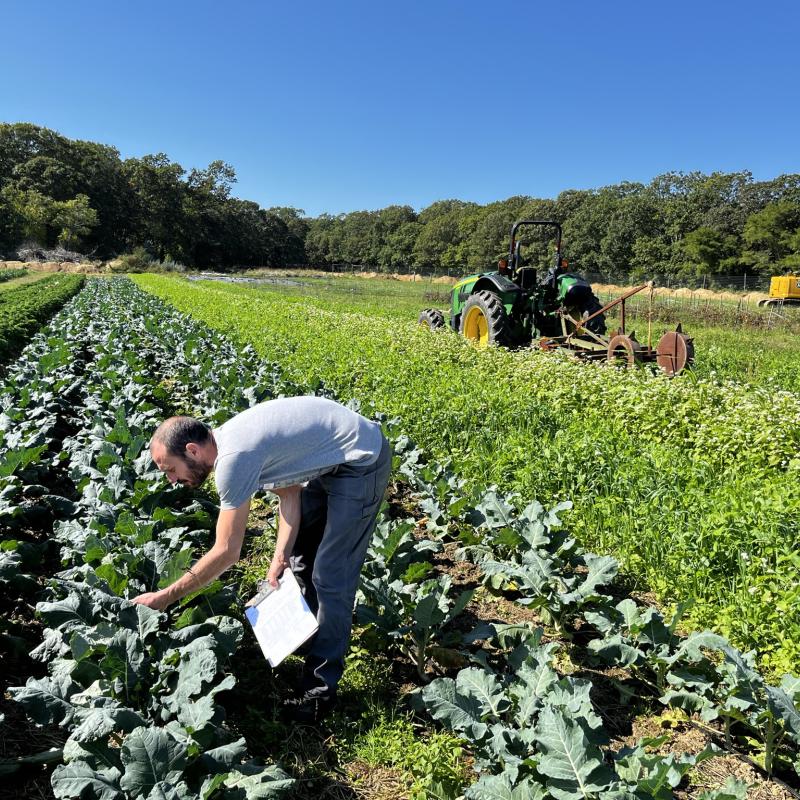
When considering new practices, you need a way of knowing if the effects that you observe are a result of changing practices. This resource sheet will guide you through setting up on-farm research projects to demonstrate new practice effectiveness.
Planning
An interactive map tool to check climate conditions across the US projected through the end of the century.
Planning
Understanding agricultural risk in production, marketing, financial, legal, and human areas.
Adaptation Practices, Planning
A cost benefit analysis of irrigation at Intervale Community Farm in Burlington, VT, calculated using records from 2006 to 2016.
Planning, Adaptation Practices, Climate Impacts
This series of articles covers key topics for launching a new agroforestry project with a guided step-by-step process to evaluate your goals, assess the opportunities on your site, and get your trees off to the best possible start.
Planning
This service helps landowners make smart, sustainable decisions about their land through the promotion and protection of wetlands, forests, farms, endangered species habitats, and other open spaces.
Planning
A free GPS-based app to track conditions and changes in land use, soil conditions, slope, and management activities such as rainfall, tillage, fertilizer, and harvests with a calendar-based interface.
Planning
Livestock Compass is a decision support tool that helps diversified livestock farmers analyze costs and profitability of animal enterprises, supporting data-driven decisions to improve efficiency and improve the feasibility of animal enterprises.
Planning
This is a checklist intended to help coastal Maine community members identify and adapt to flood risks.
Planning, Adaptation Practices
The Pest Report is a weekly or biweekly report summarizing current and emerging pests, their biology, crop impacts, and recommended management strategies. Short discussions include pests and diseases that are present and recommended solutions.
Planning, Adaptation Practices, Climate Impacts
Illustrated design guidelines for multifunctional buffers are synthesized and developed from a review of 1,900+ research publications. These guidelines are presented as easy-to-understand rules of thumb for facilitating the planning and designing of multifunctional buffers.
Planning
Country-wide weather reports and forecasts.
Planning, Adaptation Practices
Weather and science driven integrated pest management. A site that links data from weather stations across the Northeast. Includes forecasts by crop or by pest. Especially useful for orchards, but there are vegetable pest models as well.
Planning, Adaptation Practices, Climate Impacts
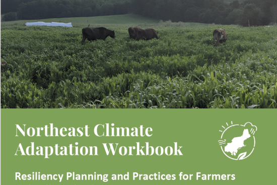
A practical guide for farmers in the Northeast to prepare for a changing climate by developing an Adaptation Plan for their Farm. The workbook introduces the observed and expected changes affecting agriculture, as well as adaptation strategies to consider, and worksheets.
Planning
Maps and current vs historical data for the northeast, including precipitation trends, pest maps, and many more analytical resources.
Adaptation Practices, Planning
NTT is a web-based tool to estimate nutrient and sediment losses under different management scenarios at field or watershed scales. Users define and compare scenarios for a given area of interest to estimate NPK losses, erosion, and crop yields.
Planning
NY FarmNet provides free, confidential financial and personal consulting for New York farmers, farm family, or agribusiness employee, including a 24/7 helpline and on-farm support.
Planning, Adaptation Practices, Climate Impacts
OSHA’s hub for heat safety resources for farmers and workers, including information about employer responsibilities and recommended training materials as well as heat safety resources from multiple federal agencies.
Planning
Explores how encouraging informed dissent during planning improves project success and reduces costly failures.
Planning
An app to determine light and shade levels and quality. Free to use with in-app purchases for advanced features.
Planning, Adaptation Practices, Climate Impacts
The ReadyAG workbook is designed to help farm and ranch owners be better prepared to deal with disasters and catastrophic events that can occur on their farm or ranch.
Planning
A visualization tool showing community impacts of coastal flooding and sea level rise, including vulnerability, wetland loss, and flood frequency.