


World-class Research, World-changing Impact
Research alone can’t solve environmental challenges—we need action. The Gund Institute for Environment unites scholars and leaders to drive solutions.
Research Projects
Stay in Touch
Get the latest news and events from the Gund

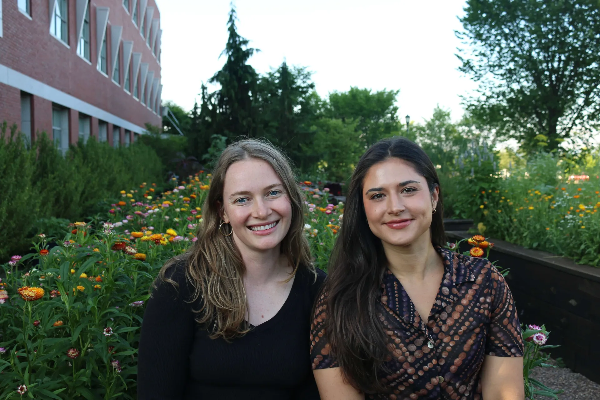
Community Drives Discovery
With expertise spanning science, business, health, tech, engineering, and humanities, the Gund Institute community harnesses a myriad perspectives to drive interdisciplinary solutions.
View Faculty FellowsCommunity Drives Discovery
With expertise spanning science, business, health, tech, engineering, and humanities, the Gund Institute community harnesses a myriad perspectives to drive interdisciplinary solutions.
View Faculty Fellows
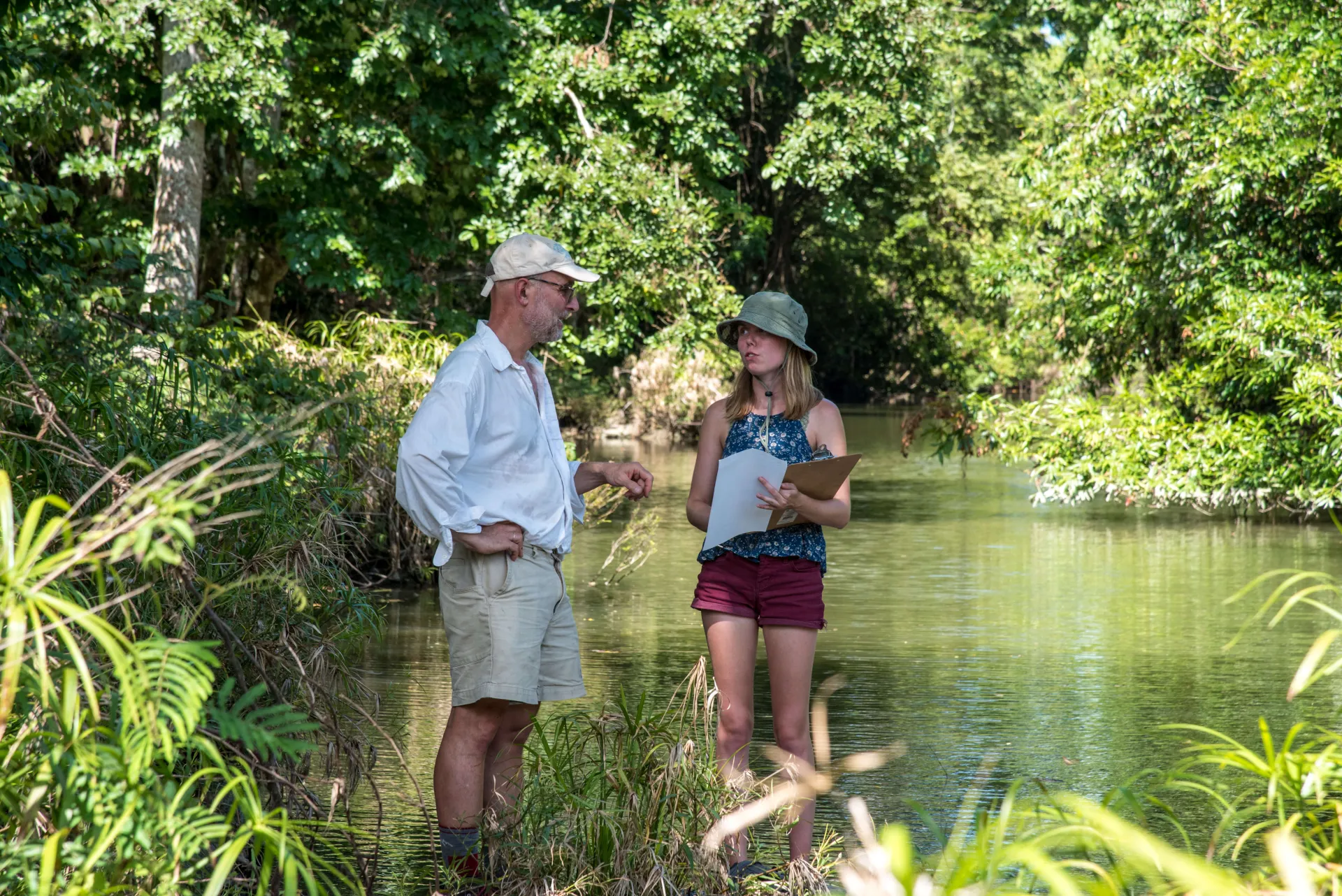
The Planet's Biggest Problem is Pace
We often know what’s needed for people and nature to thrive—the challenge is speed. Tackling global environmental issues requires urgent, cross-sector collaboration. This urgency drives our agile research and strong partnerships focused on delivering real-world impact.
Our Focus on PartnershipsRecent News
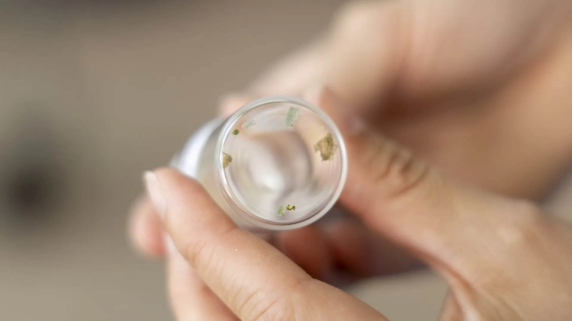
Recycling Food Waste Would Bring Huge Benefits, But Microplastics a Challenge
Two UVM Doctoral Candidates Are Awarded Prestigious USDA Predoctoral Fellowships
Q&A: On Being Open to Possibilities with Gund Alum Mae Kate Campbell
Gund Institute Formalizes Collaboration with the Natural Capital Alliance After Years of Work Together
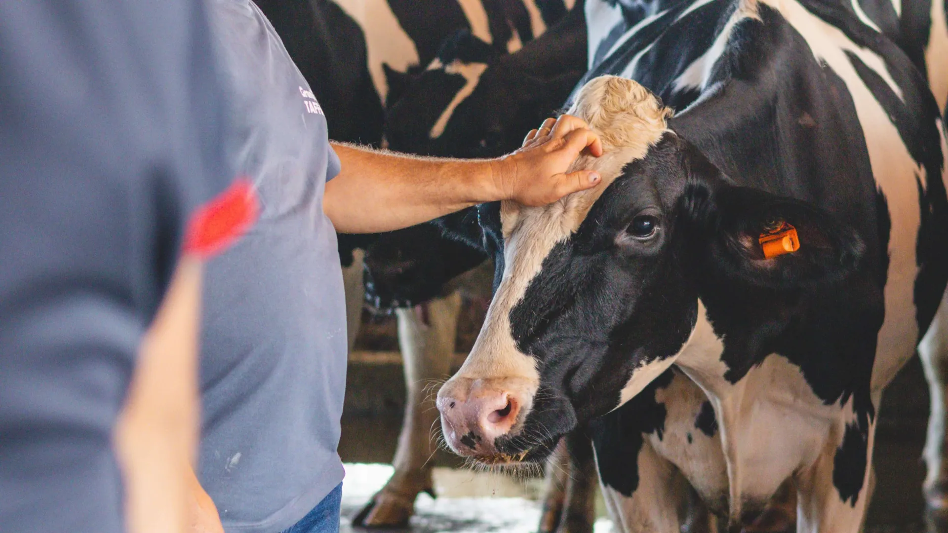
What Proposed Changes to the H-2A Program Could Mean for Vermont Dairy Farms and Workers