Special Data Collection

Holt Research Forest

Holt Research Forest
Long-term Study of an Oak-Pine Forest Ecosystem

About the Holt Research Forest

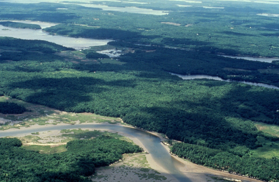
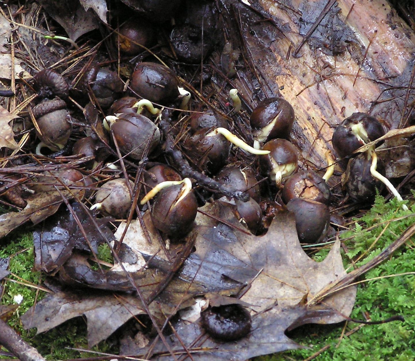
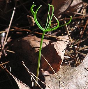
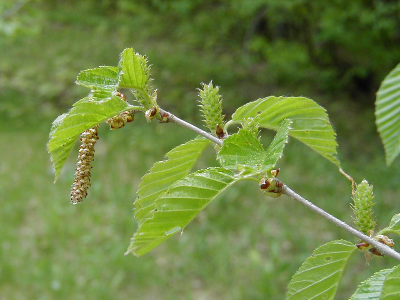
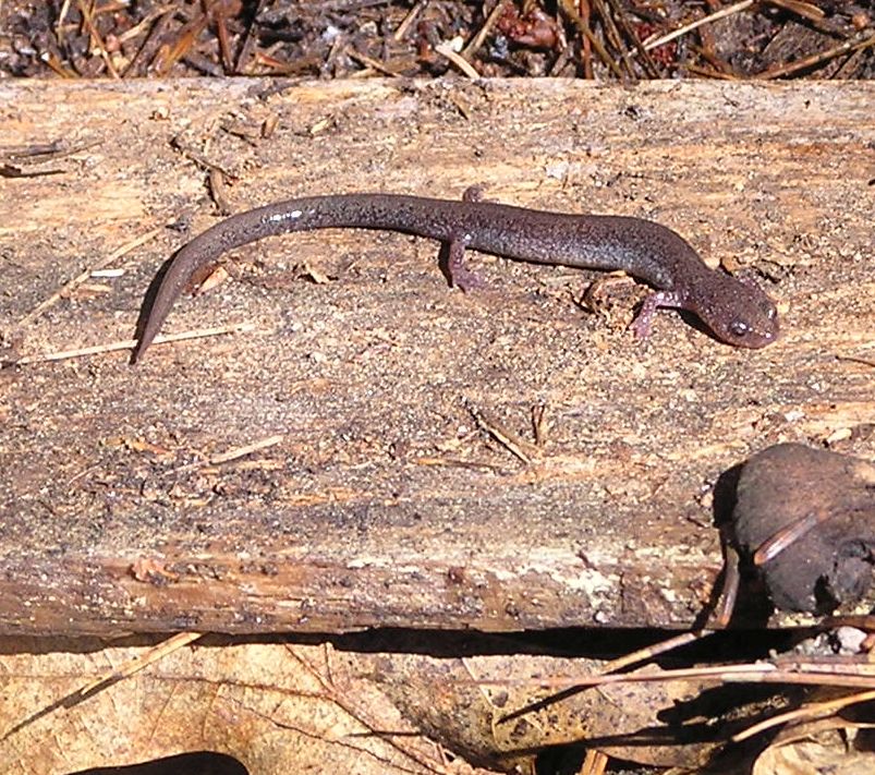
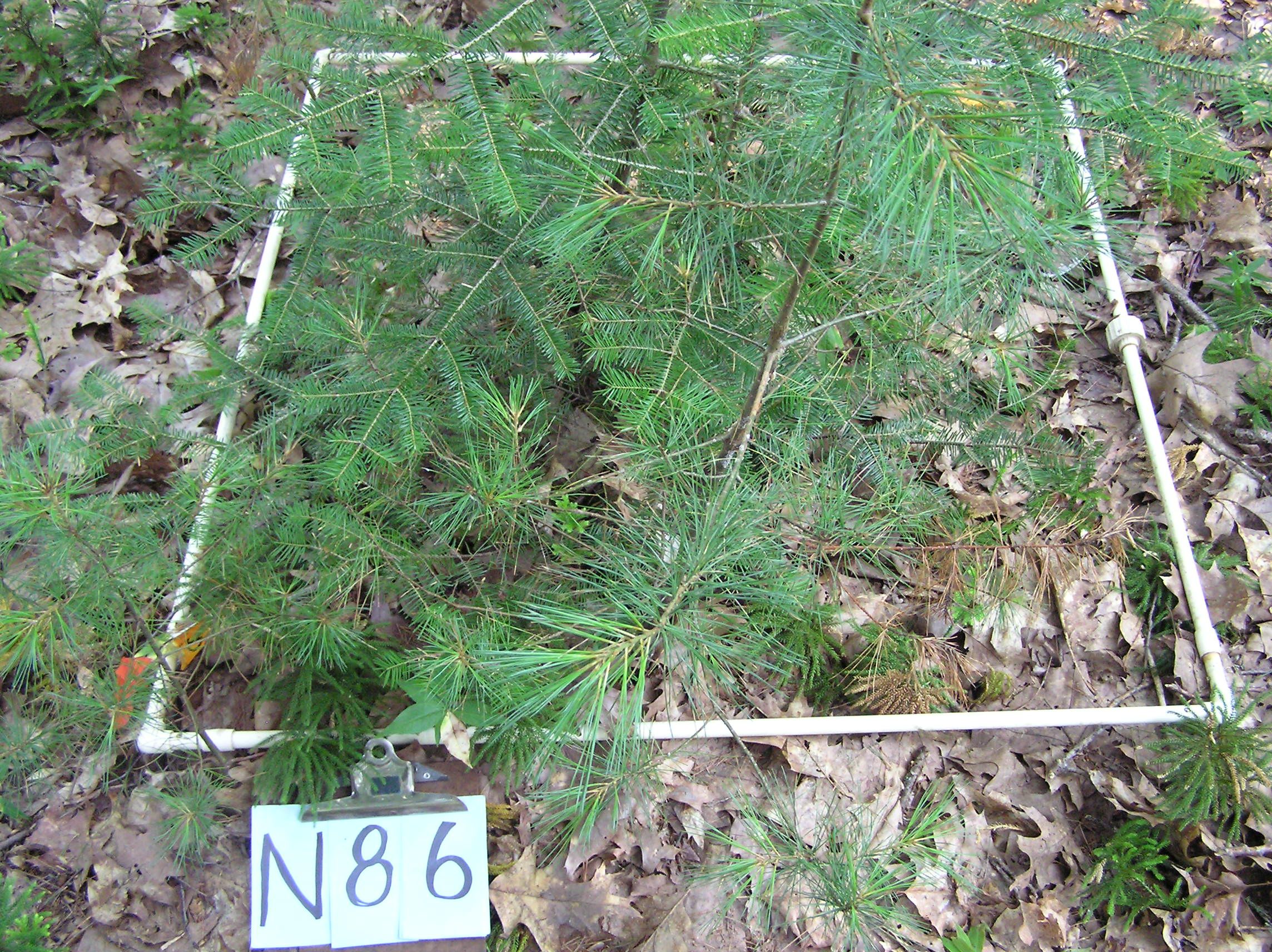
The Holt Research Forest (HRF) is a field station located in southern mid-coastal Maine with a 36-year history of multidisciplinary ecological research. A land base of approximately 125 ha (300 acres) features a red oak-white pine forest ecosystem, an important and relatively understudied forest type in Maine. The vast majority of the property is forested uplands while 20 ha (50 acres) are wetlands of various types, primarily salt marsh. The property is bordered by the Back River, an estuarine tributary of the Kennebec River, on the east. Sewell Pond, the largest pond on Arrowsic Island, forms the western boundary. The northern and southern boundaries of the property are adjacent to largely forested conservation land held by The Nature Conservancy and Maine Department of Inland Fisheries and Wildlife.

Our Mission

To utilize and collect quality long-term multi-taxon data to generate critical synthesis science that will inform and teach forest, wildlife, and watershed scientists, managers, landowners, students, and the public.

Our Vision

To provide research, education, and guidance to ecologically and economically maintain and manage oak-pine forest ecosystems.

Project ID Title Project Description

Unfortunately there are no projects for that theme. Please check back again as we are constantly working to include more resources!

Holt Research Forest From 1983-1990 we assessed annual litter and seed fall using litter traps with 0.5m2 openings (n = 40, collections bimonthly). Since 1988 we have used 0.042m2 traps (n = 264 traps, collections once per year in May before red maple seed fall. Litter collection was dropped because the volume was too great to effectively sort and measure. Seed collection was maintained because seed production relates well to tree recruitment and small mammal abundance.
Status: Active
Duration: 05/01/1983 - Ongoing
Data Availability
Downloadable: 3 datasets

Holt Research Forest S-1 plots are located within and on the southern edge of the S-10 lines. They form two 600 m long strips across the study area, and cover a total of 1200 m2. Plots are numbered from 1 to 600 and listed as being north (quadrats 3E1 to 8E2) or south (quadrats 3I3 to 8I4). A tree seedling count is conducted on the 1m2 plots to provide information on the regeneration of the forest. All S-1 plots were measured in the 1986 field season; every fifth plot (1,6,11, etc.) is measured each subsequent year.
Status: Active
Duration: 05/01/1986 - 05/01/2017
Data Availability
Downloadable: 1 dataset

Holt Research Forest A complete timber inventory is conducted in every block during selected years, to collect new diameter and condition date for numbered trees, to number ingrowth trees, and to record and fallen trees. Inventories taken: 1984 1986 before the 1987 harvest 1988 1996 half of the blocks in 2007 (harvest, E, I)
Status: Active
Duration: 01/01/1984 - Ongoing
Data Availability
Downloadable: 5 datasets

Basic reference materials applying to all studies from Holt Research Forest. This set includes a map of the study area, a guide to the grid system, a list of tree species codes, the techniques manual governing all studies and other information. (All files in Documents/Images)
Status: Active
Duration: 01/01/1983 - Ongoing
Data Availability

Holt Research Forest Survey of redback salamanders (Plethodon cinereus) under artificial cover boards and in 1m2 litter searches.
Status: Active
Duration: 01/01/1987 - Ongoing
Data Availability
Downloadable: 4 datasets
By request: 1 dataset

Holt Research Forest An inventory of timber, vegetation and ground cover in a 200m2 plot centered on the salamander survey stations. The quad* files contain 1994 ground cover and tree inventories for the 1983-95 random plot salamander search stations -- randomly placed 1m2 plots in blocks 3E-8I. The shingle* files contain 1994 ground cover and tree inventories for the 1987-present artificial cover object salamander checks -- stations N5-N580 and S5-S595 (S1 transects), and A-W (Monti transect). In "Documents/Images" we include a pdf of the Holt Research Forest manual chapter describing tree and vegetation inventory methods for the Small Mammal Trapping stations. This Salamander Station Timber Inventory was done the same way.
Status: Completed
Duration: 01/01/1994 - Ongoing
Data Availability
Downloadable: 11 datasets

An inventory of timber, vegetation and ground cover in the small mammal survey stations.
Status: Inactive
Duration: 05/01/1986 - Ongoing
Data Availability
Downloadable: 5 datasets
By request: 1 dataset

A releve assessment of vegetation on 1m2 plots located in harvest gaps, tree gaps, ledge gaps, and control areas (under undisturbed canopy).
Status: Active
Duration: 01/01/1993 - Ongoing
Data Availability
Downloadable: 3 datasets

A releve survey of 1m2 plots along the north and south S1 lines. s1GroundAll.csv contains percentages of ground cover components; s1StrataAll.csv contains percentages of total vegetative cover at three strata (<.25m, .25-1m, 1-5m); s1SpeciesAll.csv contains percentages of cover by species at the same three strata. The years covered are 1986-1996, 2008 and 2011. Species data for 1986 includes all 600 plots; all other data is for every fifth plot (N1, N6, N11...).
Status: Active
Duration: 01/01/1986 - Ongoing
Data Availability
Downloadable: 3 datasets

A releve survey of vegetation per subquadrat (25m x 25m) throughout the study area. In 1985 and 1988 all 640 subquadrats were surveyed; in subsequent years only the 160 #1 subquadrats were surveyed. All plant species were assessed as to foliar coverage in five height classes.
Status: Active
Duration: 01/01/1985 - Ongoing
Data Availability
Downloadable: 2 datasets

A study of oak seedling survival under conditions of heavy browser predation (deer). This study began in 2011 after a heavy oak mast year.
Status: Active
Duration: 01/01/2011 - Ongoing
Data Availability
Downloadable: 1 dataset

A repeated inventory of 2-10cm saplings in 10m strips running the width of the study area along the north and south ends. All saplings present were tagged and recorded for species, dbh, condition and location. Inventory taken in 1986, 1989, 1995, 2003 and 2010. Location was originally recorded as distance and direction from station flag; here these have been converted to XY coordinates.
Status: Active
Duration: 01/01/1986 - Ongoing
Data Availability
Downloadable: 2 datasets

Estimated and measured heights of trees in the study area. During the 1984 inventory every tenth tree's height was estimated and every fortieth tree's height was measured.
Status: Active
Duration: 01/01/1984 - Ongoing
Data Availability
Downloadable: 2 datasets

Tree height and tree crown radii were measured on all S-10 strip trees (DBH>9.5 cm) within the S-10 strip.
Status: Completed
Duration: 01/01/1989 - 01/01/1991
Data Availability
Downloadable: 1 dataset

Survey of tree regeneration throughout the Holt Research Forest study area. Data was taken from 200m2 and 4m2 permanent plots in 1984, 1992, 1997, 2004 and 2009. These plots did not align well with canopy gaps from the 1987 harvest, so a survey of 25m2 plots specifically within and outside the harvest gaps was done in 1997, 2002 and 2010.
Status: Active
Duration: 01/01/1984 - Ongoing
Data Availability
Downloadable: 4 datasets

The main dataset is measurements of tree volume taken with a Barr & Stroud dendrometer in 1984. There also three smaller files of diameter measurements taken at four-foot intervals from storm-downed trees in 2007, 2010 and 2011.
Status: Active
Duration: 01/01/1984 - Ongoing
Data Availability
Downloadable: 4 datasets

Work at the Holt Research Forest is dedicated to Dr. William L. Holt Jr., his wife, Winifred Holt, and their son, F. Rodney Holt. These family members were the impetus for the creation of the Holt Woodlands Research Foundation and the Holt Research Forest. The Holts’ generosity, foresight and commitment to forest research has been demonstrated repeatedly over the many years of this project. Their past support of the Holt Research Forest has and will continue to provide benefits to students, logging, forestry, and wildlife professionals, forest landowners, and forest management in Maine. To this end, they have served us all.

The Holt Woodland Research Foundation (HWRF) owned the HRF property and facilities and supported the research through the University of Maine from its beginnings in 1981. In 2013, HWRF dissolved and turned all assets over to the Maine TREE Foundation (MTF) and they have continued support for the research project and expanded the outreach and education mission at HRF.

At the University of Maine, Holt Research Forest is associated with the Center for Sustainable Forest Research. Additional background on HRF may be found at holtforest.org. Selected publications from HRF may be found at the Northeast Forest Information Source.

Current and Past Investigators from University of Maine Faculty

  • Malcolm L. Hunter Jr., Libra Professor of Conservation Biology and Professor of Wildlife Ecology, Department of Wildlife, Fisheries, and Conservation Biology
  • Laura Kenefic, Research Forester and Team Leader, U.S.D.A. Forest Service, Northern Research Station Northern Forest Science and Applications (RWU-NRS-07) and Faculty Associate, School of Forest Resources
  • Alan J. Kimball, Forest Manager, University Forests and Associate Professor of Forest Resources, School of Forest Resources (now retired)
  • Jessica Leahy, Professor of Human Dimensions of Natural Resources, School of Forest Resources
  • Aaron Weiskittel, Associate Professor of Forest Biometrics and Modeling and Irving Chair of Forest Ecosystem Management, School of Forest Resources
  • Alan S. White, Professor of Forest Ecology, School of Forest Resources (now retired)

Holt Research Forest On-site Staff

  • Jack W. Witham, Associate Scientist, Center for Research on Sustainable Forests