Dataset Overview
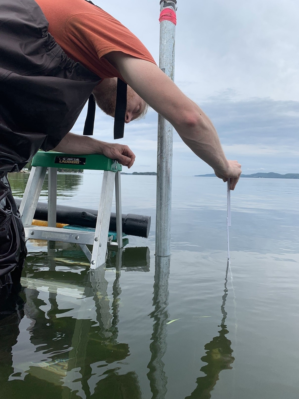
This dataset contains the 10-minute min, max, average of pressure (not excluding atmospheric pressure), temperature and depth from the sensors deployed at the north and south side of the South Hero, VT Rt 2 causeway. This data is a compilation of the data retrieved from the loggers out in the field. The loggers are set to record in 2.5-minute intervals where instantaneous data is recorded and averaged across 10-minute intervals. Depth was calculated by referencing barometric pressure (mbar) from a meteorological station at Colchester Reef ran by the FEMC. The meteorological station is directly 6.21 miles from the depth sensors.
- Purpose
Track water depth trends on the north and south side of the Rt. 2 causeway.
- Data Collection Status
-
Data collection for this dataset is ongoing
- Start date
2019-05-13
- Contents
51951 records with 20 fields
- Data Availability
-
Data are available upon request
- Data License
By request
- Preferred Citation
National Oceanic and Atmospheric Administration, Internation - GLERL and The International Joint Committee (2019) 10-min Pressure, Temperature, and Depths from the North and South Sensors. FEMC. Available online at: https://www.uvm.edu/femc/data/archive/project/noaa_ijc_flood_inundation_study/dataset/raw-pressure-temperature-from-north-south
- Update Frequency
As needed
- Maintenance Plan
Not provided
- Links
-
No links available for this dataset
- Related Datasets
- Determining Dataset Similarity
- Previous Versions
-
- Version 9 - June 2019 - November 2020 Data (created 2021-05-06 by John Truong)
- Version 8 - June 2019 - November 2020 Data (created 2021-05-06 by John Truong)
- Version 7 - Flood Study Data from 05/11/2020 to 07/15/2020 (created 2020-07-29 by Jake Van Deursen)
- Version 6 - It should be saved as South Hero Flood Study Data: June 7 2019 to November 4 2019 (created 2020-02-03 by Jake Van Deursen)
- Version 5 - South Hero Flood Study Data: June 7 2019 to November 4 2019 (created 2020-02-03 by Jake Van Deursen)
- Version 4 - South Hero Flood Study Data June 7 - August 30 (created 2019-10-24 by John Truong)
- Version 3 - Compiled Southhero Flood Data 0607 to 0830 (Errors Found Replaced with V4) (created 2019-09-09 by John Truong)
- Version 2 - South Hero Flood Study Data June 7-July 22 (created 2019-07-25 by John Truong)
- Version 1 - South Hero Flood Study Data June 7 - July 22 (created 2019-07-25 by John Truong)