Dataset Overview
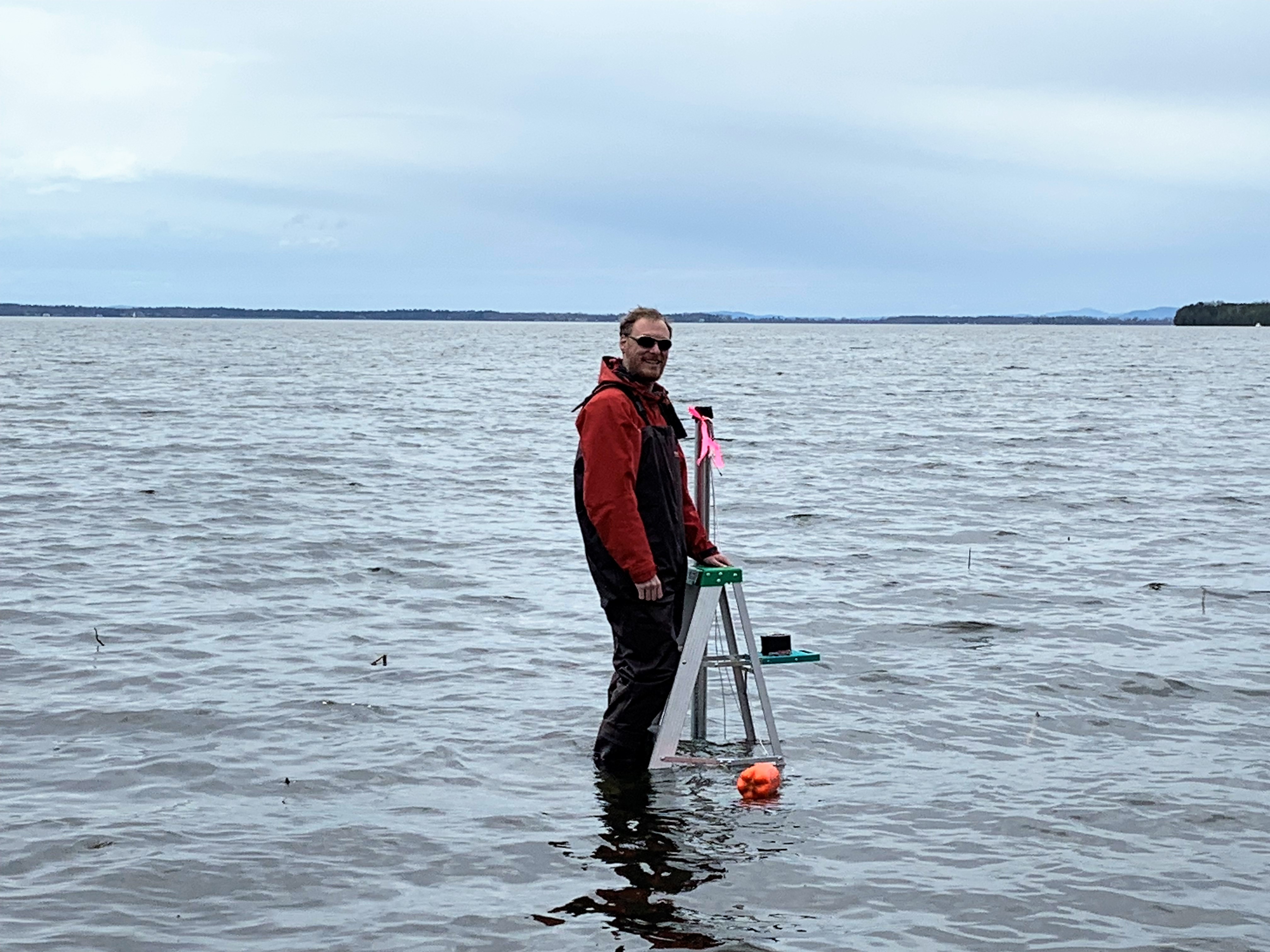
Measurements manually measured at both the north and south deployment sites to use as a reference for the water depth loggers. These measurements are recorded during each site visit.
- Purpose
Manually measure the water depth at both logger deployment sites to use as a comparison to the depth measured by the water depth loggers.
- Data Collection Status
-
Data collection for this dataset is ongoing
- Start date
2019-05-13
- Data Availability
-
This dataset is available for download from the FEMC. The FEMC data may be a duplicate, subset, or copy of the original from a particular point in time. The original dataset is also available for download from the third party that controls the data license.
- Data License
Linked - Third party determines data license
- Preferred Citation
NOAA-GLERL, IJC, and FEMC (2019) Manual Water Depth measurements. Linked. Available online at: https://docs.google.com/spreadsheets/d/1QPMH8OXsPhNM8EvKHZ4KN2WJof61lArd4bXodgTtJpM/edit?usp=sharing
- Update Frequency
As needed
- Maintenance Plan
Not provided
- Links
-
No links available for this dataset
- Related Datasets
- Determining Dataset Similarity
- Previous Versions