Dataset Overview
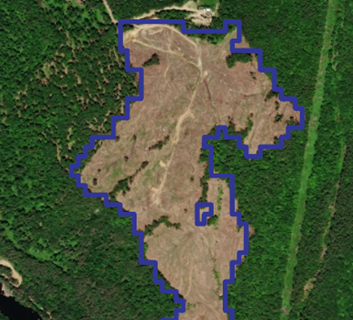
Forest clearing polygons were assigned to a county or land ownership type based on the location of its centroid. We converted the forest cover dataset by Hansen et al. (2013) to create a forest-non/forest image, where pixels with ≥30% tree cover were considered forest. We used this forest cover dataset to estimate the proportion of forestland.
- Purpose
To summarize forest clearing by land ownership type.
- Data Collection Status
-
Data collection for this dataset has been completed
- Start date
2000-01-01
- End date
2018-12-31
- Data Availability
-
Available for download
- Data License

- Preferred Citation
Kosiba AM and Duncan JA (2019) Forest clearing summarized by land ownership type. FEMC. Available online at: https://www.uvm.edu/femc/data/archive/project/NHForestClearing/dataset/forest-loss-summarized-by-land-ownership
- Update Frequency
As needed
- Maintenance Plan
Not provided
- Links
-
No links available for this dataset
- Related Datasets
- Determining Dataset Similarity
- Previous Versions
-
- Version 2 - Forest loss by county v1.1 (created 2020-07-30 by Emma Tait)
- Version 1 - Forest loss by ownership v1 (created 2020-07-30 by Emma Tait)