Forest Cover and Water Quality
Exploring the Connection Between Forest Cover and Water Quality in the Northeast: Standardized Spatial Datasets
The connections between forest cover and water quality are complex and depend on the particular aspects of water quality being considered. FEMC developed an inventory of key forest and water spatial datasets for the northeastern region to provide improved access to analytical information by integrating 30 datasets into a common spatial framework.
About
The connection between forest cover and water quality is complex and depends on the particular aspects of water quality being considered, such as temperature or nutrient loading. However, there remains an interest to better understand and communicate the relationship between forests and water, from understanding impacts of forest networks on sedimentation to the vulnerability of communities to storm events, and others topics.
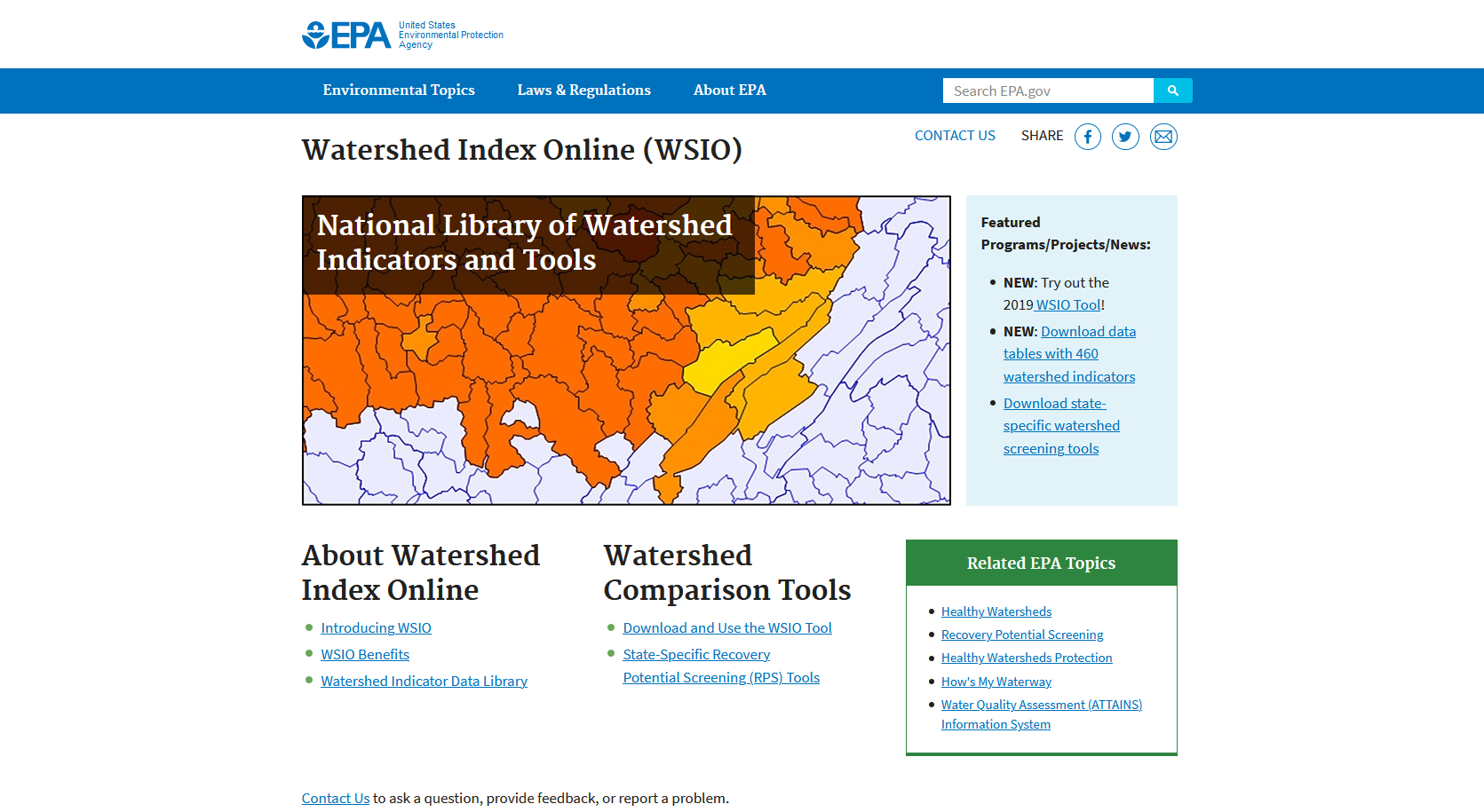
FEMC staff worked with experts to determine key factors in understanding connections between forests and water. FEMC then reviewed both regional and national existing efforts and tools to develop an initial inventory of programs that provide access to data specific to forest-water connections. These programs were assessed for their strengths and limitations to ensure that the work conducted by FEMC would fill a gap in existing tools. Take a look at the other resources to see a full list.
FEMC then worked with collaborators to identify datasets that were key to forest-water analysis that the community would benefit from having in a single location and common spatial framework. Each dataset's processing needs were assessed and the data were transformed into a common spatial framework to make it easier to start working with the data. For the extent, we used the 12-Digit Hydrologic Unit (HUC12) watershed boundaries that overlap the New England/New York region. The projection for the spatial framework is the North American Albers Equal Area Conic. FEMC wrote a set of processing scripts in Google Earth Engine's JavaScript interface and Python to transform these datasets, which are available for reuse.
Through this project we created an inventory of 30 datasets in a common spatial framework. These processed datasets are available on the Forest-Water Spatial Data Inventory. The inventory provides key information on the datasets including a description, years, resolution, units, processing steps and original data source. Datasets can also be downloaded from the inventory. We also created a story map to provide summaries in the trends of long-term datasets by watershed. This work not only improves access to information and integrated data but also gives added capacity of professionals to communicate the importance of forest cover in supporting good water quality.
Project Quick Facts
Start Date:
5/1/2019
End Date:
9/30/2020
Coverage:
New England/New York
Products:
Spatial Data Inventory
Technical Report
Story Map
Processing Scripts
Have Questions?
Contact FEMCProject Products
Explore the products from this project using the shortcuts below or visit the Products tab to get more details on the various products. You will find an embedded version of the Interactive Map there and some pointers on how to use it.
Spatial Data Inventory
Explore and download data included in the Forest-Water Spatial Data Inventory.
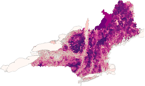
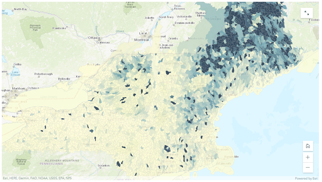
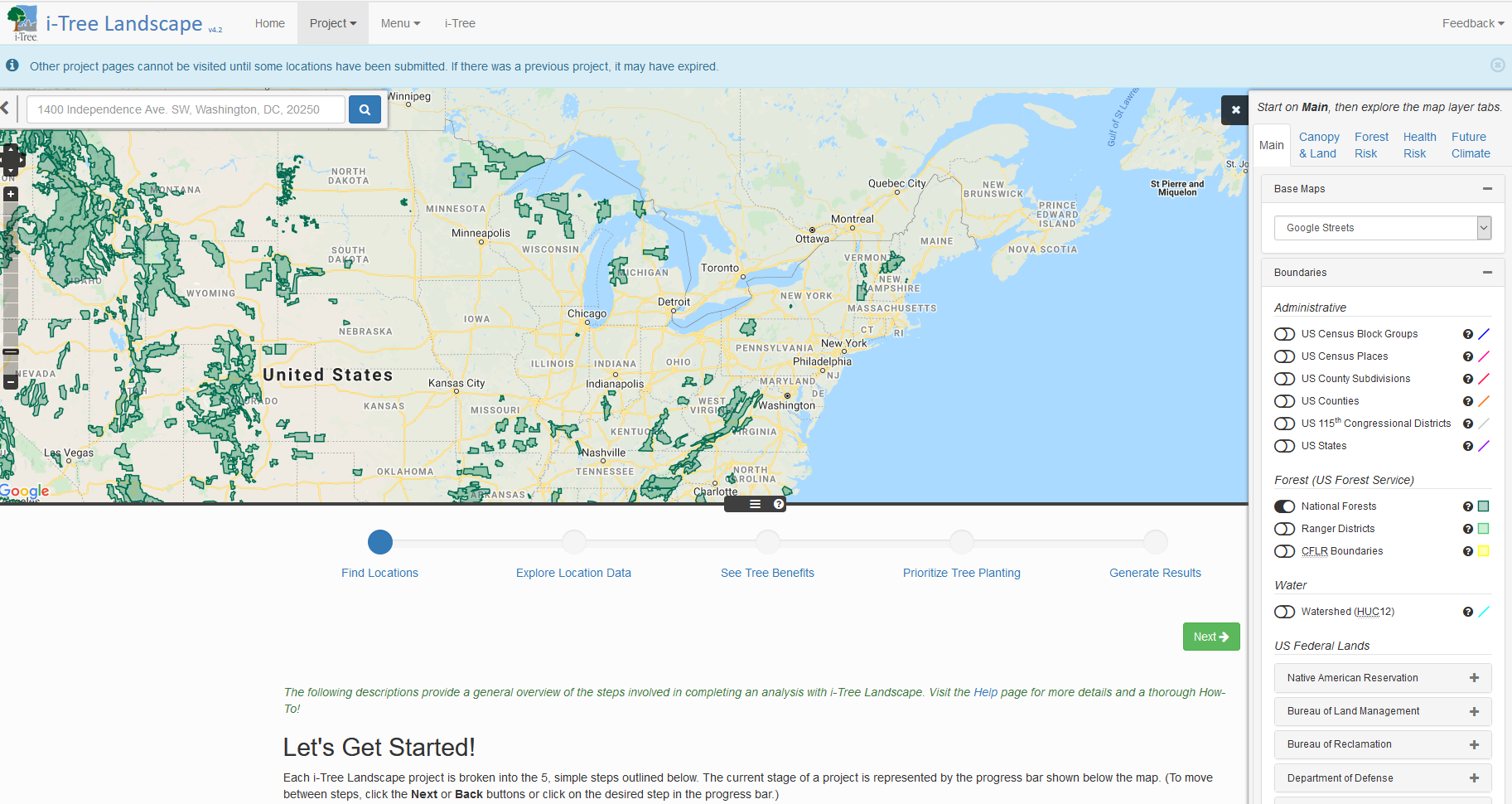
Interactive Map
Use the map to explore trends in some of the long-term datasets included in the Forest-Water Spatial Data Inventory.
Click on the map image or access the map.
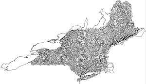
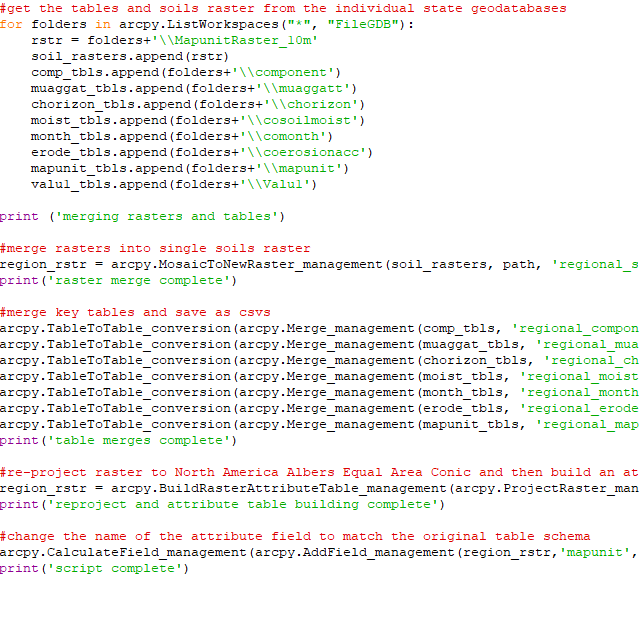
Processing Scripts
A collection of the scripts used to process the datasets into a common spatial framework.
Click on the script image or download scripts.
Acknowledgements
The Forest Ecosystem Monitoring Cooperative (FEMC) would like to acknowledge the contributions of the FEMC’s committees in developing this project. Special thanks to Karl Harkonen (USFS) for providing guidance and feedback on direction of the project. We appreciate the input of Rebecca Lilja (USFS), Marc Companion (VTDEC, UVM), Daniel Kelting (Paul Smiths), Bill Keeton (UVM), Donald Keirstead (NRCS), Kelly JBoland (NRCS), Rick Ellsmore (NRCS), John Campbell (USFS), James Eikenberry (NRCS), Toby Alexander (NRCS), Vicky Drew (NRCS), Joe Buford (NRCS), Beverly Wemple (UVM), Don Ross (UVM), Scott Hamshaw (UVM), Erin Seybold (UVM) and Matt Vaughn (Lake Champlain Basin Program).
This project was possible due to long-term funding provided by the U.S. Department of Agriculture, Forest Service State & Private Forestry, Vermont Agency of Natural Resources and the University of Vermont.
Forest-Water Spatial Data Inventory
This inventory provides access to 30 datasets integrated into a common spatial framework. Descriptions and other metadata are provided for each dataset and the processed datasets can also be downloaded from the inventory. All datasets are projected to North America Albers Equal Area Conic and clipped to a regional 12-digit hydrologic unit watershed boundary covering Connecticut, Maine, Massachusetts, New Hampshire, New York, Rhode Island and Vermont.
| Dataset |
|---|
Additional Forest-Water Resources
The complexity of studying the connection between forest cover and water quality has led to numerous efforts to provide access to and summarize data and information related to this topic. FEMC assessed existing efforts that provide data related to forest-water connections, and provide a list of those important resources below.
Technical Report
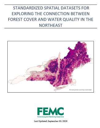
Standardized Spatial Datasets for Exploring the Connection Between Forest Cover and Water Quality in the Northeast
Emma Taitab, David Gudex-Cross c, and James Duncan ab
a Forest Ecosystem Monitoring Cooperative, 705 Spear Street, South Burlington, VT, USA
b University of Vermont, Rubenstein School of Environment and Natural Resources, 81 Carrigan Drive, Burlington, VT, USA
c SILVIS Lab, University of Wisconsin, 1630 Linden Drive, Madison, WI USA
The report provides information about the assessment of existing tools and the development of the spatial data framework. View report.
Interactive Map
Use the map to explore trends in some of the long-term datasets included in the Forest-Water Spatial Data Inventory.
Scripts
Forest-Water Spatial Data Processing Scripts
June 23,2020
A collection of the scripts used to process these datasets into the common spatial framework. Download Scripts.