Special Data Collection

Catskill Science Collaborative

Catskill Science Collaborative Banner.
Facilitating collaboration and outreach in the Catskills, NY region

About the Catskill Science Collaborative

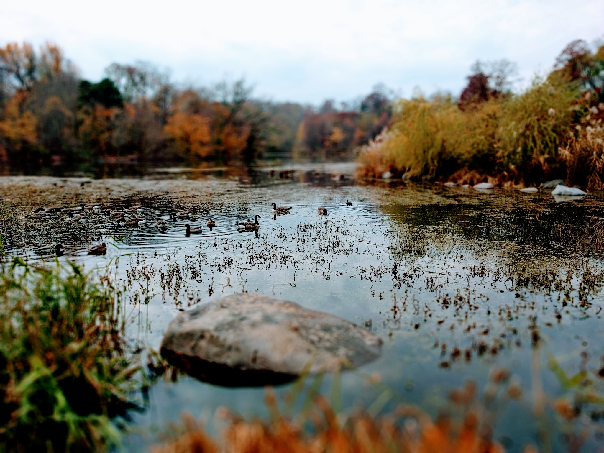
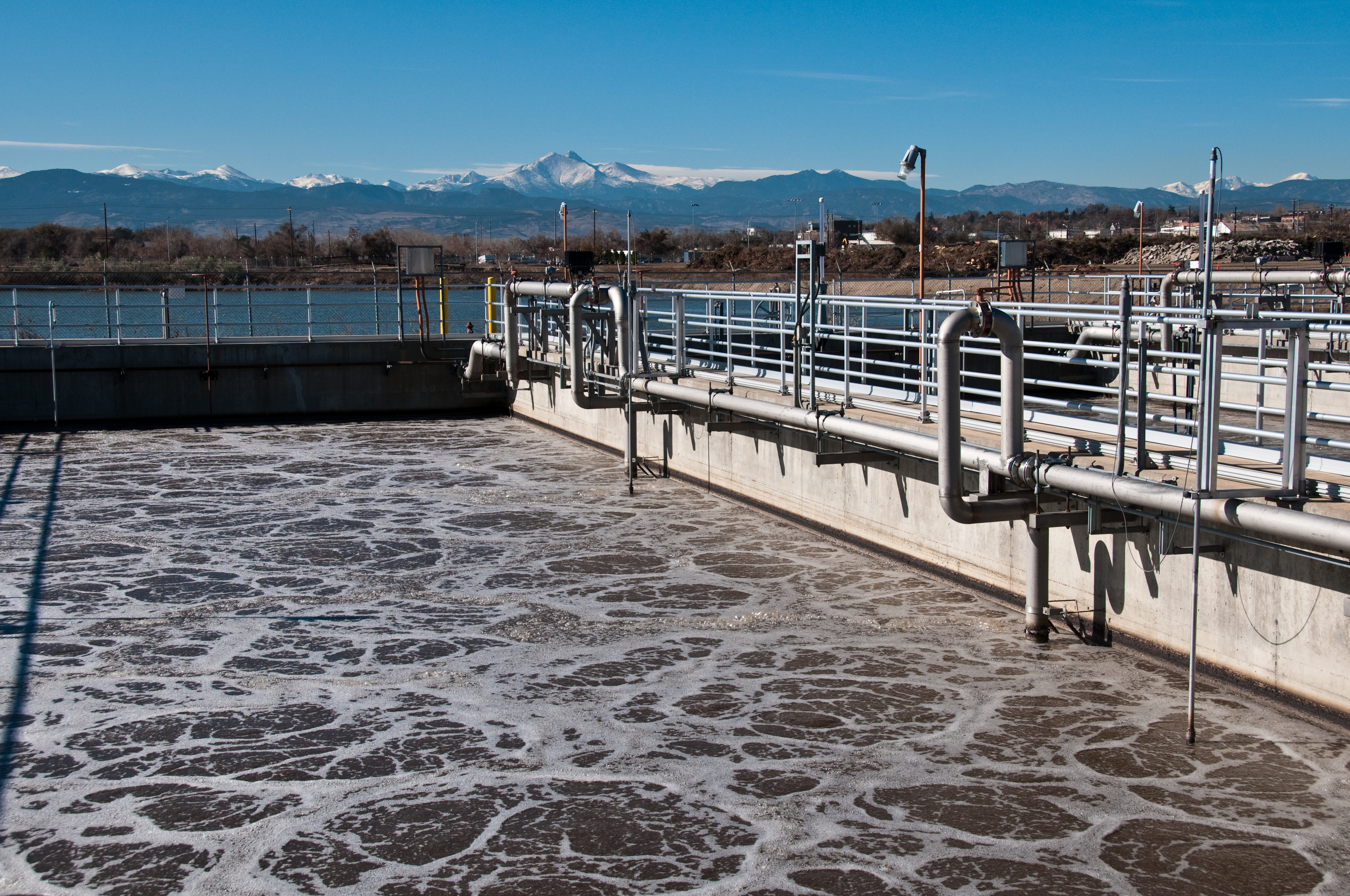
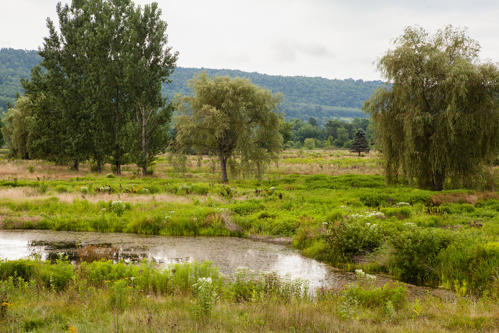
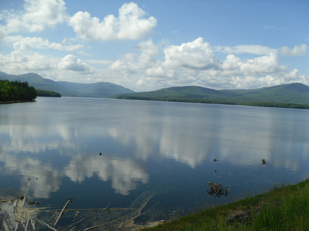
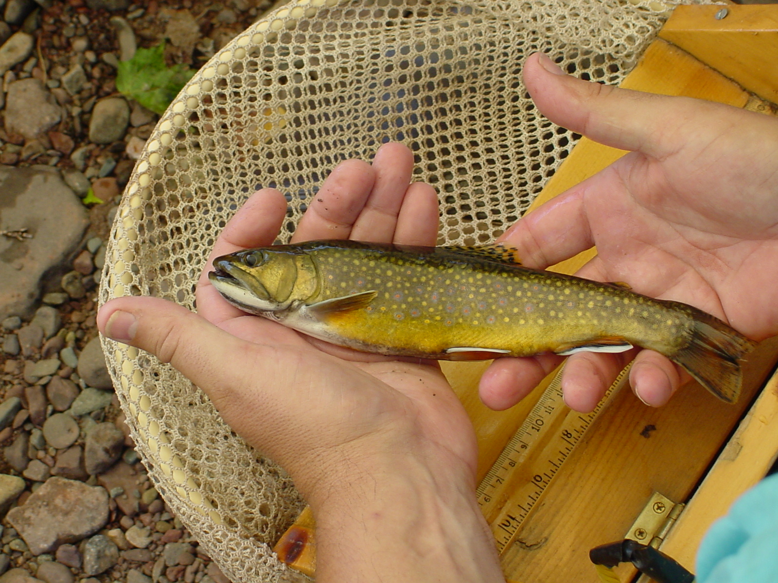
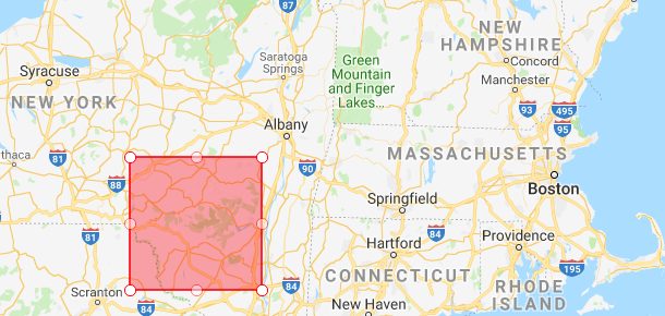
The Catskill Science Collaborative is a group of individuals and institutions dedicated to facilitating collaboration and outreach by those doing environmental research in Catskill Mountain region of New York State. Funded by NY State through Environmental Protection Funds and coordinated by the Cary Institute of Ecosystem Studies, the CSC carries forward the goals of the Catskill Environmental Research and Monitoring (CERM) group, an informal collaboration initiated in 2010. The CSC includes the Cary Institute, the New York State Department of Environmental Conservation (NYSDEC), the New York City Department of Environmental Protection (NYCDEP), Cornell Cooperative Extension of Ulster Country, the US Geological Survey, the NY State Museum, and many other research partners.

Goals

Promote scientific research and environmental monitoring in the Catskill region on topics relevant to natural resource management.

Provide a locus for exchange of information between resource managers (e.g., NYDEC, NYC DEP, private landowners) and scientists.

Promote the development of “scientific infrastructure” (e.g., databases, bibliographies, intensive research sites) that improves the opportunities for collaboration among Catskill researchers.

Visit the Catskill Science Collaborative at: www.catskillscience.org

Project ID Title Project Description

Unfortunately there are no projects for that theme. Please check back again as we are constantly working to include more resources!

Two soil pits were excavated in each of 25 small catchments in the Catskills region in the summer of 2011. One pit was located near the watershed outlet, while the other was located at an elevation approximately half way between the watershed outlet and the watershed crest. Samples were collected from the combined Oi and Oe horizons, the combined Oa and A horizons, the 0-10 cm mineral soil layer, the 10-20 cm mineral soil layer, the layer from 20 cm to bedrock or C horizon, and the C horizon where present. A “quantitive pit” approach was used to determine the mass of soil in each layer per square meter of land surface area. This allowed for the computation of element pools in the soils. Chemical analyses included total C and N, pH, exchangeable cations, organically bound Al and H, and total contents of 26 elements using X-ray fluorescence (XRF) spectrometry. The methods and a summary of the results may be found in Johnson (2013, Annals of the New York Academy of Science, vol. 1298, pp. 30-42). These results are expected to be useful in future monitoring efforts through resampling of the study sites.
Status: Completed
Duration: 06/01/2010 - 05/31/2014
Data Availability
Downloadable: 2 datasets

Delineation data of forest stands in watershed lands located to the east and west of the Hudson River, NY. Stand delineation data are updated routinely as new lands are acquired and as stand boundaries change due to a shift in forest structure (e.g., management activities, disturbance). Variables collected for each forest stand are land cover (Anderson 1979 methodology) and area.
Status: Active
Duration: 01/01/2003 - Ongoing
Data Availability
By request: 1 dataset

Routine, regularly updated hydrology data to monitor the drinking water supply. Variables include many standard water quality analytes.
Status: Active
Duration: 01/01/1987 - Ongoing
Data Availability
By request: 2 datasets

Routine, ongoing, and regularly updated limnology assessments to monitor the drinking water supply in NYCDEP reservoirs.
Status: Active
Duration: 01/01/1987 - Ongoing
Data Availability
By request: 2 datasets

Monthly sampling by NYCDEP at wastewater treatment plants for surveillance, modeling, and compliance.
Status: Inactive
Duration: 01/01/1987 - Ongoing
Data Availability
Description only: 1 dataset

Forest inventory plots collected by NYCDEP contractors on NYC watershed lands. Data includes plot locations (shapefile) and access database with forest inventory variables. Data is summarized at the stand level.
Status: Active
Duration: 01/02/2002 - Ongoing
Data Availability
By request: 2 datasets

Forest plot sampling of 13 watersheds across the Catskill Mountains, New York. Data for this project was collected as part of a larger-scale effort to document the distribution of forest types within the Catskills using three similar methods of determining relative basal area for all canopy species.
Status: Completed
Duration: 01/01/1997 - 12/31/2000
Data Availability
Downloadable: 2 datasets

Collection of baseline water quality, water level, vegetation, and soils data from reference wetlands in the West of Hudson watershed.
Status: Active
Duration: 06/01/2004 - Ongoing
Data Availability
By request: 1 dataset

This project is a common suite of meteorological data for NYCDEP that is regularly updated in one minute time increments spanning from 1996 to present. Variables include: temperature, solar radiation, wind direction and speed, snow depth, pressure and precipitation.
Status: Active
Duration: 01/01/1996 - Ongoing
Data Availability
By request: 1 dataset

Regularly updated, real-time snow depth, snow water equivalence, and snow temperature data collected at bi-weekly or hourly intervals depending on the dataset.
Status: Active
Duration: 01/01/1963 - Ongoing
Data Availability
By request: 2 datasets

Routine limnological monitoring to check for the presence of Zebra Mussels and Spiny Water Fleas, both invasive species, in NYCDEP reservoirs.
Status: Active
Duration: 01/01/1992 - Ongoing
Data Availability
By request: 2 datasets

Collection of data on breeding amphibian populations and their wetland use and apparent health. Water levels and the contributing influences to the hydrologic cycle within small systems. Baseline water quality sampling (Temperature, pH, Dissolved O2, and specific conductivity). and topographic settings of the pools. Kinimetric surveying for horizontal profile analysis of pool basins. Calculations of water budget.
Status: Active
Duration: 04/01/2010 - Ongoing
Data Availability
By request: 1 dataset

Single-species plots of five different tree species were fertilized with nitrogen to determine the impacts of atmospheric deposition on trees and soils.
Status: Completed
Duration: 07/01/1997 - 09/30/2010
Data Availability
Downloadable: 1 dataset

Vegetation cover maps produced for the Catskill Mountains in New York using remotely-sensed Landsat imagery.
Status: Completed
Duration: 01/01/1997 - 08/01/2001
Data Availability
Downloadable: 3 datasets

USGS Stream Gages
Status: Active
Duration: 10/01/1931 - Ongoing
Data Availability
Downloadable: 1 dataset

"The MDN is the only network providing a longterm record of total mercury (Hg) concentration and deposition in precipitation in the United States and Canada. All MDN sites follow standard procedures and have uniform precipitation chemistry collectors and gages." (From Mercury Deposition Network website - see link to left)
Status: Active
Duration: 03/09/2004 - Ongoing
Data Availability
Downloadable: 1 dataset

"Data were collected to assess fish communities and estimate population size and biomass for each species at each sampling site." (From USGS website -see dataset links)
Status: Completed
Duration: 01/01/2012 - 12/31/2017
Data Availability
Downloadable: 1 dataset

"CASTNET is a national monitoring network established to assess trends in pollutant concentrations, atmospheric deposition, and ecological effects due to changes in air pollutant emissions." (from CASTNET website, see link to left)
Status: Active
Duration: 05/01/1994 - Ongoing
Data Availability
Downloadable: 1 dataset

"Land-based observations are collected from instruments sited at locations on every continent. They include temperature, dew point, relative humidity, precipitation, wind speed and direction, visibility, atmospheric pressure, and types of weather occurrences such as hail, fog, and thunder. " https://www.ncdc.noaa.gov/data-access/land-based-station-data (From Land-Based Station Data website to left)
Status: Active
Duration: 06/01/1924 - Ongoing
Data Availability
Downloadable: 1 dataset

A visitor survey conducted at 12 different trailhead locations within the Catskill Park with the goal of better understanding the factors that encourage visitors to use trail registries in the Catskill Park.
Status: Completed
Duration: 05/29/2019 - 08/20/2019
Data Availability
Downloadable: 1 dataset

Using the River Erosion Model (REM) and Dynamic Linear Models (DLMs) to evaluate turbidity reductions from stream restoration projects
Status: Completed
Duration: 05/01/2020 - 12/01/2020
Data Availability
Downloadable: 4 datasets

The purpose of this study is to determine if hydrocarbons related to unconventional oil and gas activities are present in upland groundwater. Water samples from 50 domestic wells located <1 kilometer (km) (proximal) and >1 km (distal) from shale-gas wells in upland areas of the Marcellus Shale region were analyzed for chemical, isotopic and groundwater-age tracers. Uplands were targeted because natural mixing with brine and hydrocarbons from deep formations is less common in those areas compared to valleys. This data release contains isotopic tracer, noble gas, and groundwater-age tracer concentration data collected by the U.S. Geological Survey and data for pH, specific conductance, major ions, and methane collected by Chesapeake Energy Corporation.
Status: Completed
Duration: 06/05/2017 - 09/05/2017
Data Availability

Previous studies have shown that clearcutting of northern hardwood forests mobilizes base cations, inorganic monomeric aluminum (Alim), and nitrate (NO3−-N) from soils to surface waters, but the effects of partial harvests on NO3−-N have been less frequently studied. In this study we describe the effects of a series of partial harvests of varying proportions of basal area removal (22%, 28% and 68%) on Alim, calcium (Ca2+), and NO3−-N concentrations in soil extracts, soil water, and surface water in the Catskill Mountains of New York, USA. Increases in NO3−-N concentrations relative to pre-harvest values were observed within a few months after harvest in soils, soil water, and stream water for all three harvests. Increases in Alim and Ca2+ concentrations were also evident in soil water and stream water over the same time period for all three harvests. The increases in Alim, Ca2+, and NO3−-N concentrations in the 68% harvest were statistically significant as measured by comparing the 18-month pre-harvest period with the 18-month post-harvest period, with fewer significant responses in the two harvests of lowest intensity. All three solutes returned to pre-harvest concentrations in soil water and stream water in the two lowest intensity harvests in 2–3 years compared to a full 3 years in the 68% harvest.
Status: Completed
Duration: 01/01/2003 - 01/01/2009
Data Availability

A collection of lichen specimens including those in the Catskill area.
Status: Active
Duration: 01/01/2016 - Ongoing
Data Availability

A Database that reports on invasive Species in Catskills Area. IMapInvasives is an online, collaborative GIS-based invasive species database and mapping tool used in several jurisdictions across North America. In New York State, iMapInvasives is the official state invasive species database used for reporting invasive species, recording treatment efforts and tracking success, mapping invasive species distributions, data analysis in the web interface and GIS, and creating data summaries and reports.
Status: Active
Duration: 09/01/2009 - Ongoing
Data Availability

Map of the Catskill Science Collaborative Area
Red box denotes the geographic extent of the Catskill Science Collaborative

Principal collaborators in the Catskill Science Collaborative include:

Cary Institute of Ecosystem Studies (https://www.caryinstitute.org/)
Cornell Cooperative Extension of Ulster County (http://ulster.cce.cornell.edu/)
US Geological Survey (https://www.usgs.gov/)
Catskill Institute for the Environment
NYS Energy Research and Devlopment Authority (https://www.nyserda.ny.gov/)
Syracuse University (https://www.syracuse.edu/)
Bard Center for Environmental Policy (http://www.bard.edu/cep/)