Vermont Barn Census
Chittenden County Student Research Project - 2010
|
Vermont Barn CensusChittenden County Student Research Project - 2010 |
|
University of Vermont Historic Preservation
|
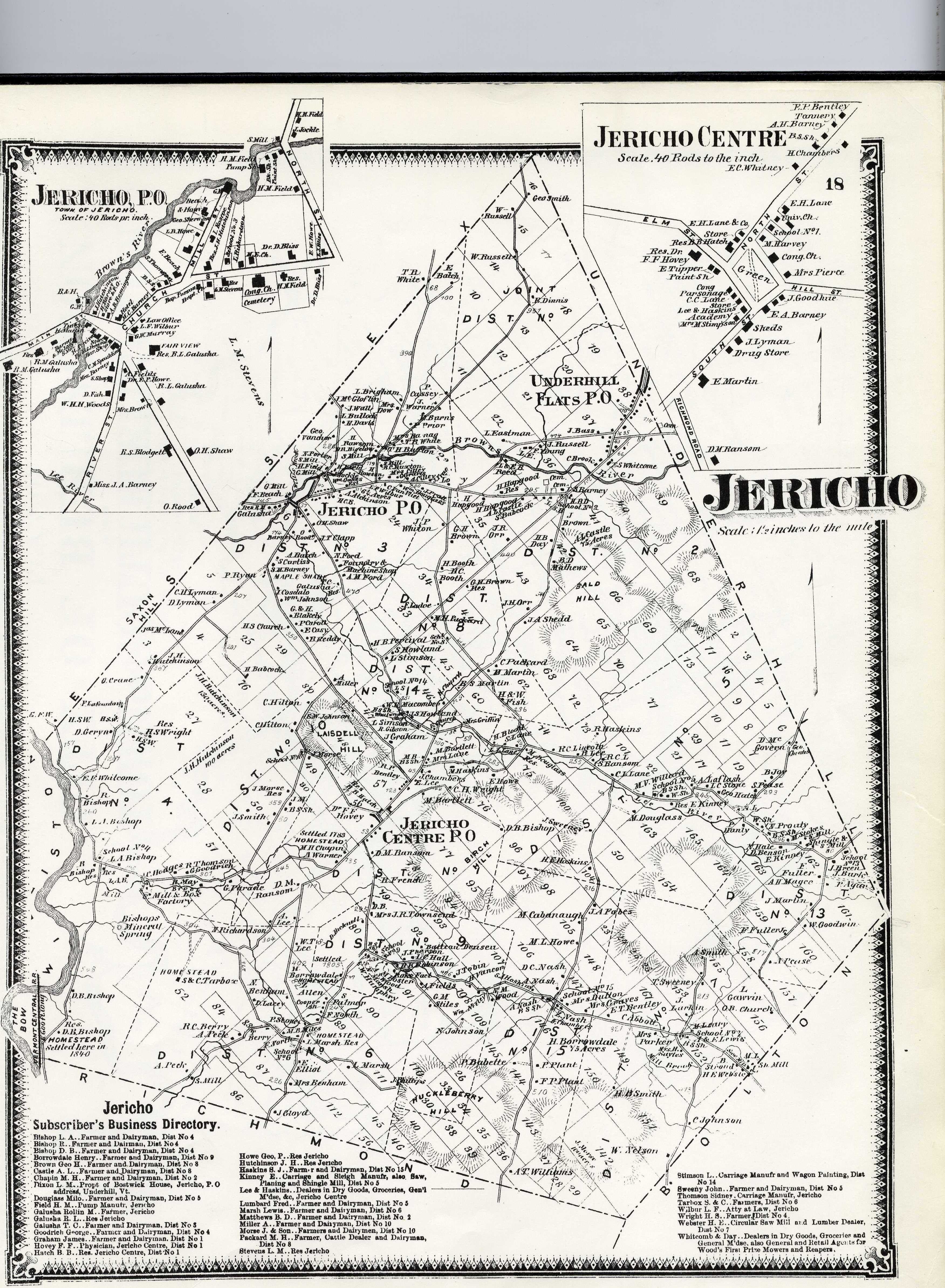
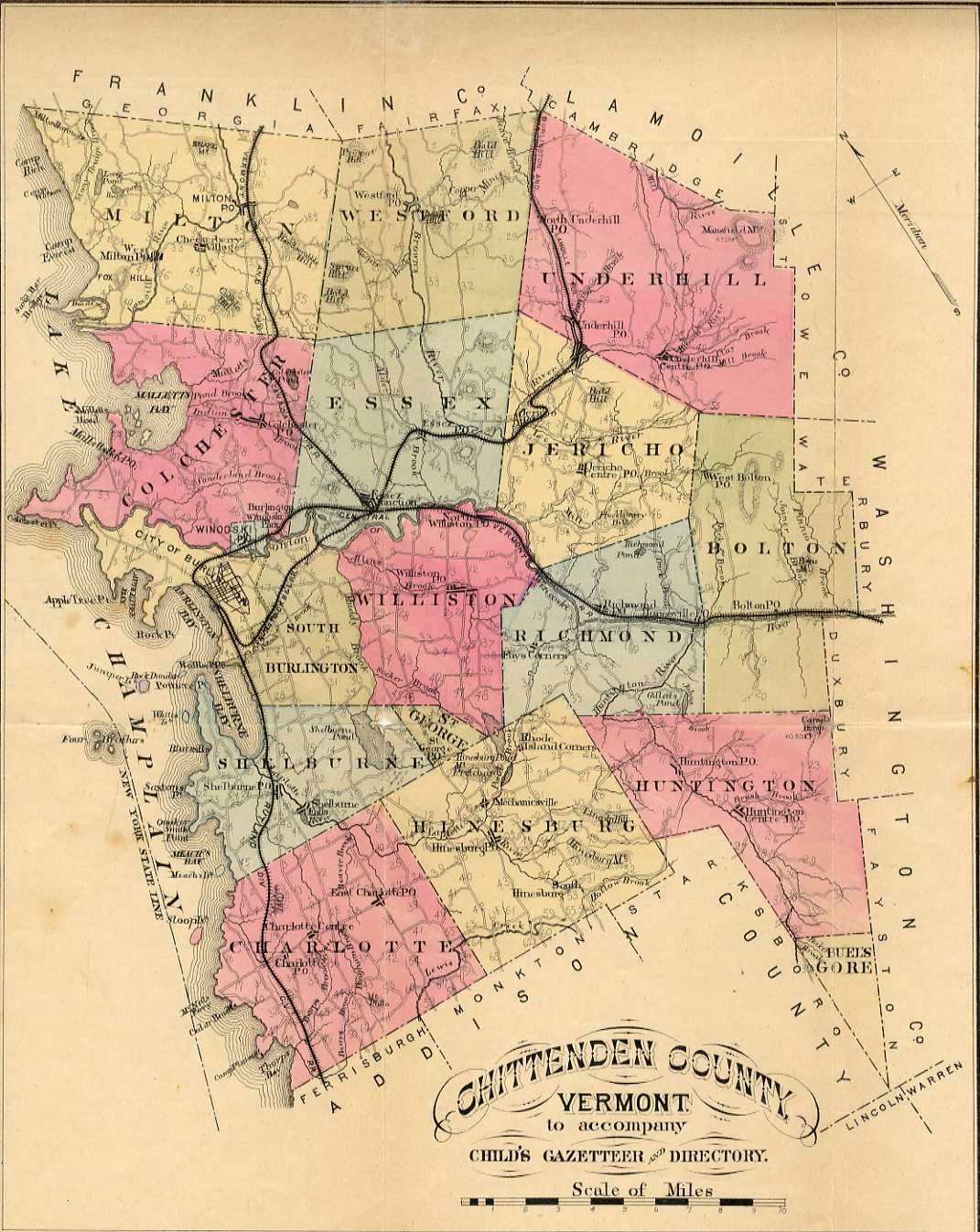
Historic Maps
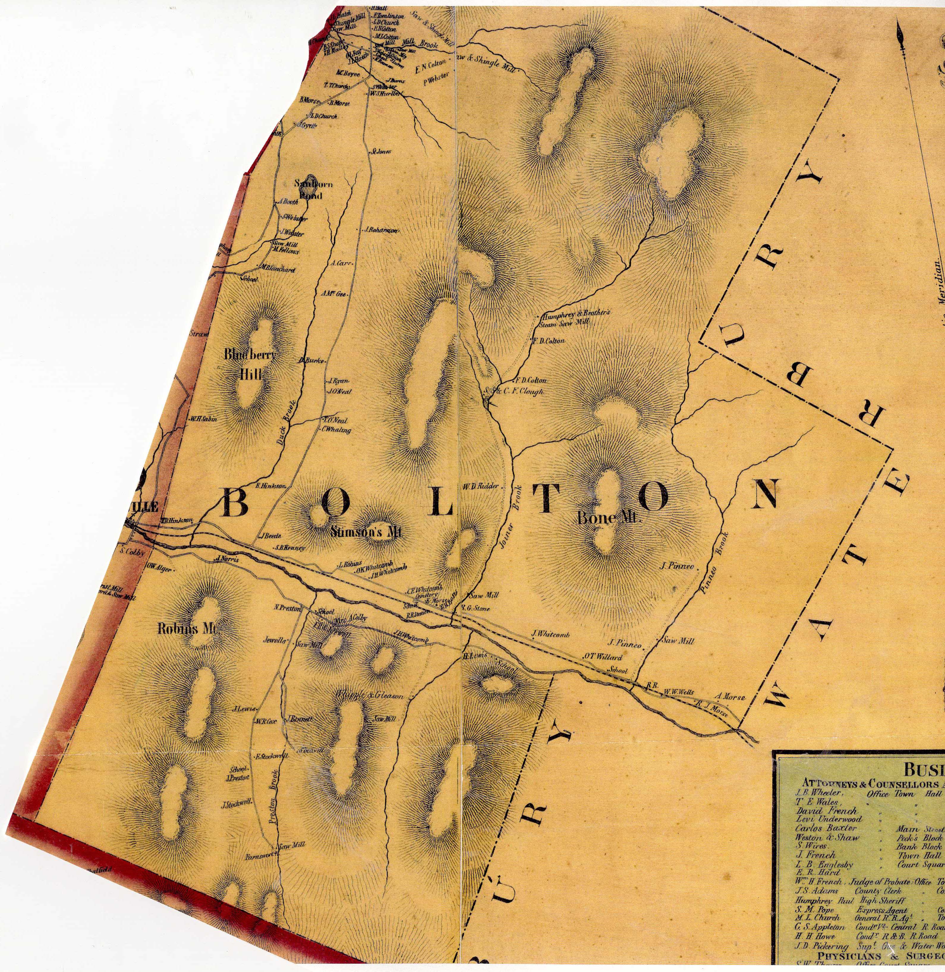
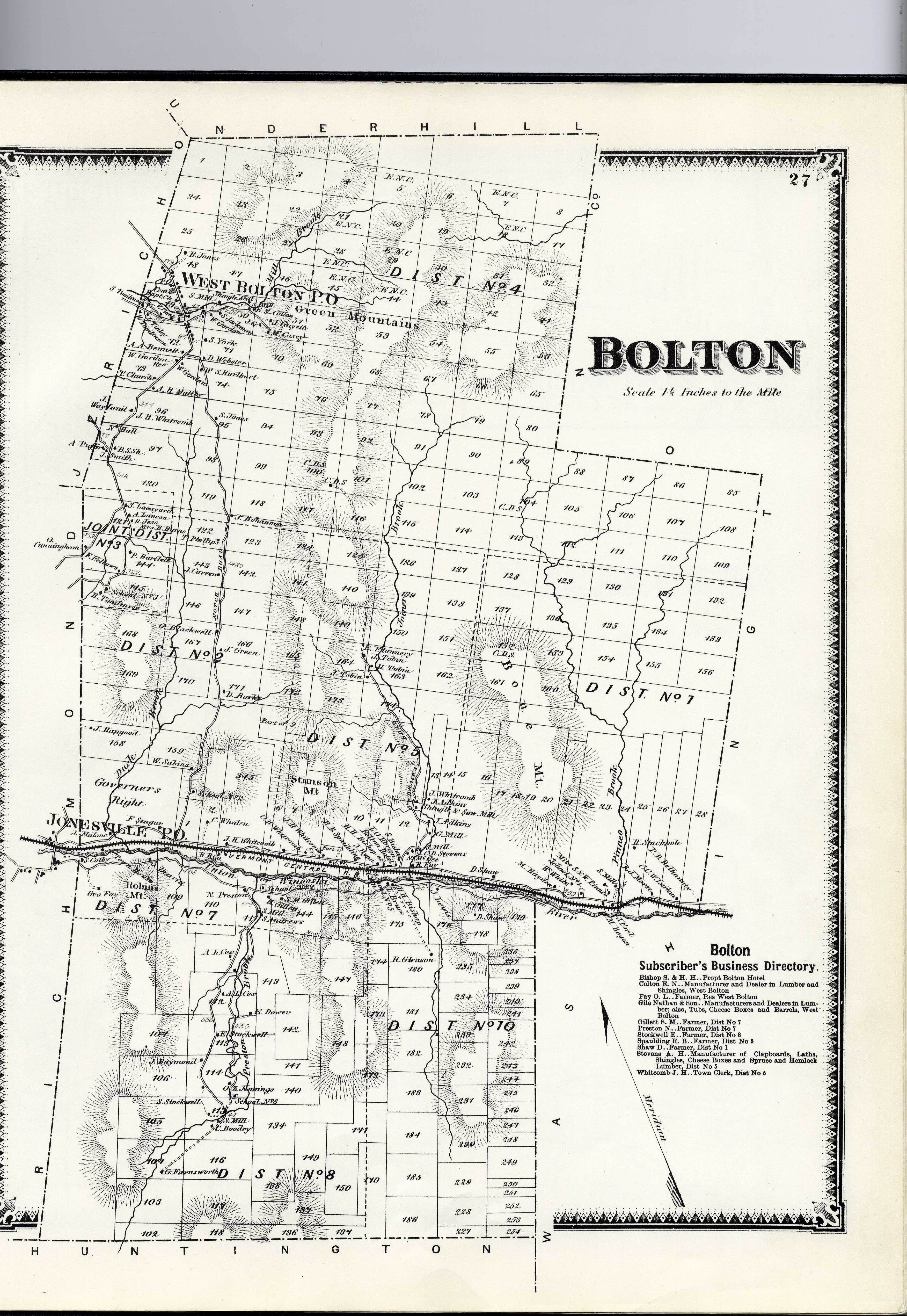
1857 Walling Map of Bolton
|
Funding support for the Vermont Barn Census project has been provided in part by a Preserve America grant through the National Park Service
to the State of Vermont Division for Historic Preservation.
The content of this site was written and accumulated by Kate Ritter, UVM Graduate Student in Historic Preservation, during Fall of 2010.